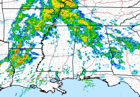
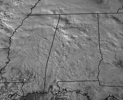
Severe Weather Analysis – 330 pm
The band of rain moving across north and central Alabama now is ahead of a warm front, currently extending from near Jackson, MS to Montgomery. The current batch of steady rain around here now should move out this evening, but the warm front will move also move north, bringing warm, moist air into southern and central Alabama and much of Mississippi.
This, along with the approach of a strong cold front, and dynamics (very strong wind shear for storm rotation, upper-level jet, etc.) will bring widespread rain and thunderstorms to Alabama late tonight and tomorrow morning. Most spots will get 1-2″ of rain, with some heavier amounts possible. And, with the wind shear (winds 60 mph at 5,000 feet), some of the storms could be severe, with damaging winds being the main threat. The main line of storms will come through tomorrow morning, probably in BHM between 6 am and noon. However, a few storms will form out ahead of the main line, and we’ll have to keep an eye on these overnight. With the amount of wind shear, a few isolated tornadoes are possible. However, the air will not likely be unstable enough for a widespread tornado outbreak, with surface temperatures in the 60s, and upper level temperatures not really cold.
So, it may be a good night to leave the NOAA Weather Radio on alert mode when you go to bed. The most likely impact at most locations will be the gusty winds, in some cases above 50 mph (especially on ridge tops), that could cause trees to go down. (Deflate the inflatable Christmas decorations, and make sure any others are secure). Also,even a minor tornado threat is a big deal, so keep an eye on the weather late tonight into tomorrow morning.
Category: Alabama's Weather


