Keeping An Eye On Radars Tonight
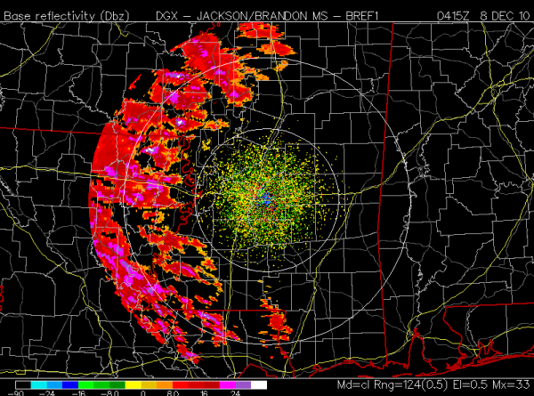
See the Jackson NWS radar…
Lots of precipitation is showing up west of I-55 across the Mississippi Delta, but 00Z upper air soundings show a very dry airmass over Mississippi and Alabama, which means most of this won’t reach the ground.
The strong impulse producing this precipitation aloft is moving southeast, and in Alabama the best dynamic forcing tomorrow morning will come across the southern counties of the state, where a few snow flurries might be found, but even there most folks won’t see a single flake.
Cold is still the big story, and we won’t get out of the 30s tomorrow with morning clouds giving way to afternoon sunshine.
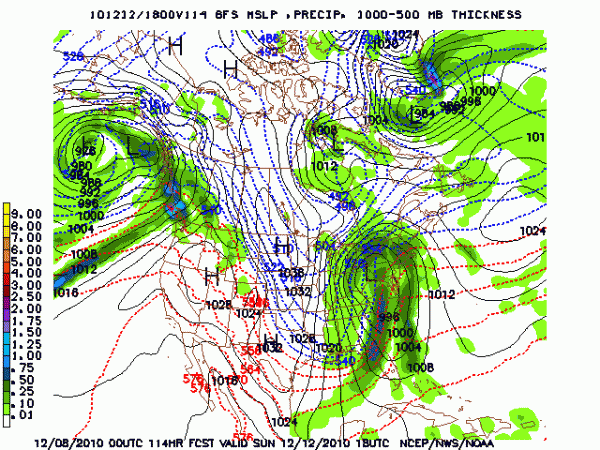
The next major Arctic blast arrives… see the 00Z output valid at 12 noon Sunday:
Sure looks like we drop into the 30s Sunday with occasional snow flurries. All of this is making that very hot August a distant memory…
Category: Alabama's Weather


