At Midday
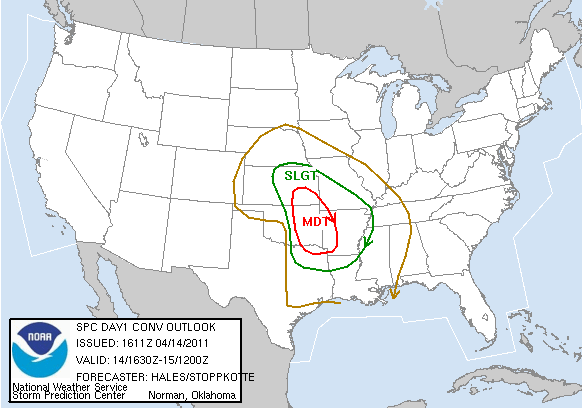
Here is the updated Day One convective outlook for the rest of this afternoon and tonight…
It will be interesting to see how the radars light up later today across the moderate risk area. Might give us a preview of what to expect around here tomorrow.
A quick peek at the 12Z models still shows the risk of a significant severe weather threat across Alabama tomorrow and tomorrow night. The main limiting factor is the instability; the 12Z NAM shows our peak surface based CAPE at 448 j/kg… you really want to see that figure over 1,500 this time of the year for a big outbreak. Other variables, including lapse rate, shear, upper diffluence, and dynamic lift all support severe weather.
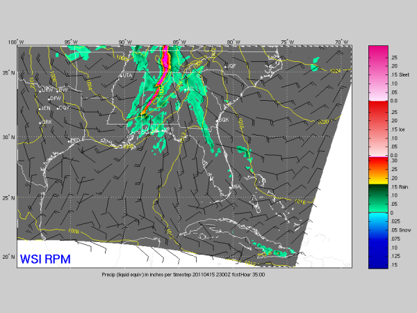
Below is the 12Z RPM output, valid at 5:00 p.m. CDT tomorrow…
Still looks like severe storms could threaten extreme West Alabama as early as 10:00 a.m…. the event winds down by 10:00 p.m. over far East Alabama. This shows the main line of storms passing through the Birmingham metro around 5:00, but other models are a bit slower. And, there is still only limited convective inhibition which means isolated cells should form ahead of the main line with tornado potential.
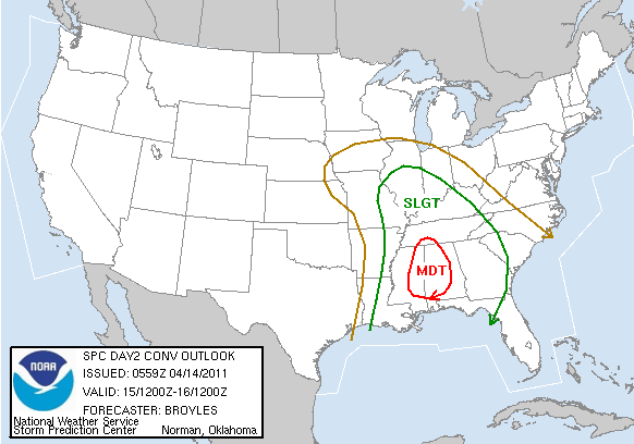
Below is the SPC convective outlook for tomorrow… it will be updated around 12:30 p.m. CDT.
Scroll down for the long discussion… a new blog update and Weather Xtreme video will be up by 3:30…
Category: Severe Weather


