Gravity wave clouds
As mentioned earlier, it was the wave trough (low pressure) that came through and caused all the high winds. So, even though the wave came from the NW, the winds were blowing into the wave, from the SE, toward the low pressure.
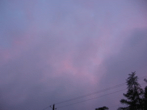
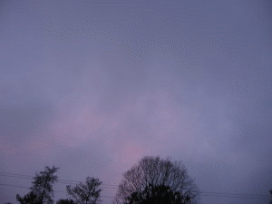
The low pressure itself was associated with sinking, warming air, which tends to dry out rain (at the back edge of the rain area) and sometimes even evaporate clouds. This is one reason why there was a little bit of brightening to the sky as the wave came through…the sinking air with the wave evaporated some of the clouds, allowing really pretty sunsets in Birmingham.
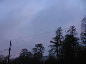
I will attach animations of the low clouds streaming rapidly (probably 50 mph) into the approaching wave trough from Trussville. (I didn’t have a tripod, so they’re a little shaky). The first two animations are looking SW, the third one is looking NW.
A more detailed summary to follow later on this wave event.
Category: Uncategorized
About the Author (Author Profile)
Subscribe
If you enjoyed this article, subscribe to receive more just like it.


