White Christmas Update 130 am
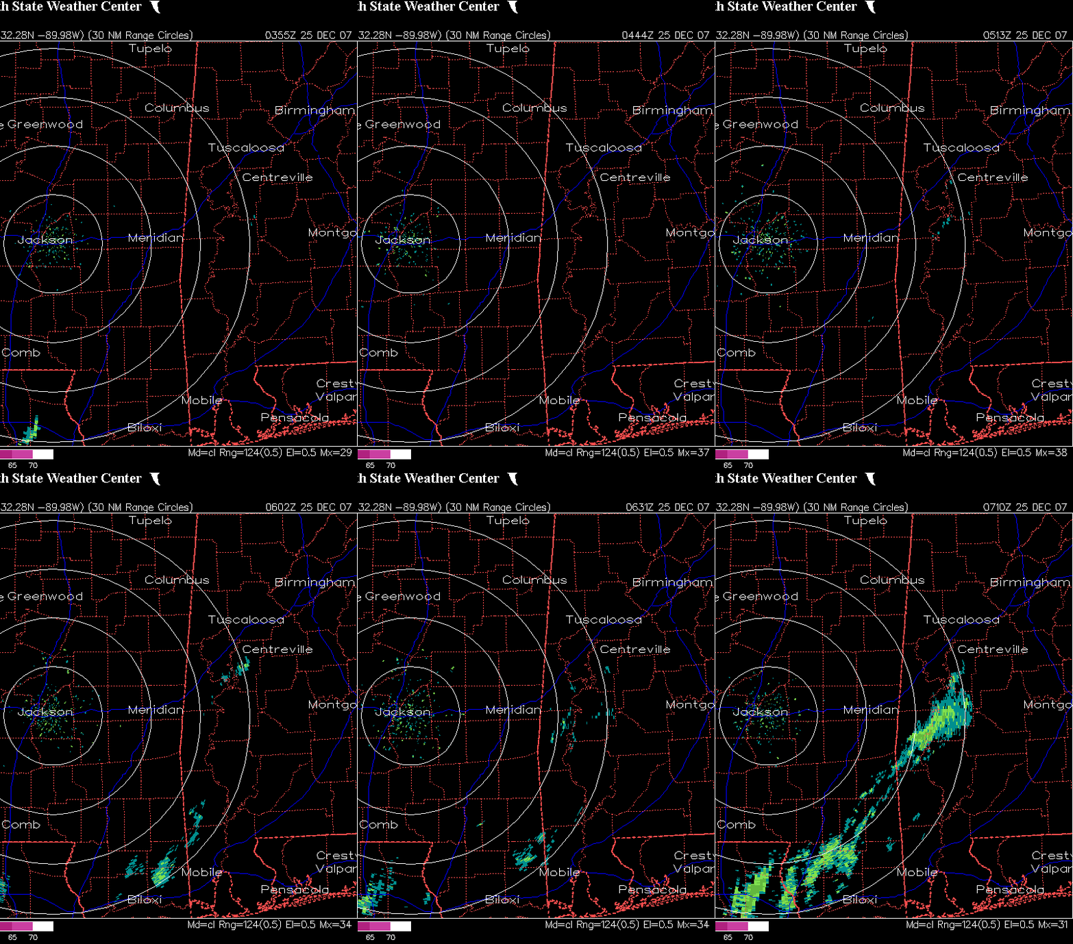
Updating the post from earlier. The 500 mb disturbance is approaching from the west, and mid-level clouds are already over much of Alabama now. Temps currently 35-38 in most areas, but should not drop much more with thickening clouds next few hours. There is some very light precipitation showing up on radar in SW Alabama and SE Mississippi…probably not reaching the ground. Most of it is above 8,000 feet altitude. But, the precipitation area has really expanded in the past 2 hours.

00 UTC models in. NAM shows precip developing over much of central Alabama today. GFS keeps heavier precip in east Alabama, but does show some precip in BHM in the afternoon. UKMET also keeps heavier precip east of I-65, but with some light precip as far west as BHM. Canadian keeps all precip further SE.
The atmosphere is very dry, but this system will produce fairly significant upward motion. The precipitation will develop at upper-levels and fall through the dry air, evaporating on its way down. This will cool the atmosphere, but also moisten it. The question will be how much precip develops aloft…and will it be enough to moisten the atmosphere all the way to the surface.
At this time, despite models showing surface temps too warm, I still think if we get precip, some of it may fall as snow flakes, especially in higher elevations. The best chance of snow flakes today will be in east Alabama. However, if the precipitation really gets going, melting and evaporation will significantly cool the atmosphere, so some light snow in BHM is not out of the question. The NAM already shows 850 mb temps near -3 C by late afternoon…plenty cold enough for some snow, and the GFS shows 850 mb temps near 0 C.
The chance of measurable snow in BHM would still only be 5%, but the chance of seeing a snow flake on Christmas day is now about 20%.
Category: Uncategorized


