A Nice January Saturday
A beautiful sunshine-filled day is in progress across Central Alabama. Temperatures have rebounded nicely under full sun, into the lower and middle 50s, after a cold start.

Official morning readings ranged from 19F at Pinson to 23F at Tuscaloosa and 24F at Calera and Birmingham. It was 18F at Valley Head to mark the state’s official cold spot. I am sure our Skywatchers had some impressive readings as well.
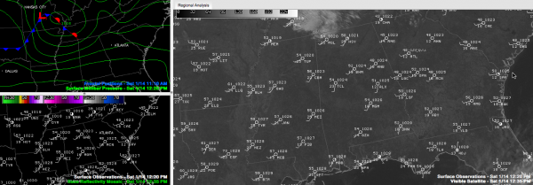
Low pressure over southeastern Missouri had set up a tight pressure gradient across Alabama, leading to southwesterly winds averaging 10-20 mph with occasional higher gusts. The winds will be virtually the only impact the system will bring to Alabama, although there could be a few clouds later. There is some light rain and snow over Central Tennessee, but it will stay well to out north.
Lows overnight will drop into the middle and upper 20s.
The low will deliver a reinforcing shot of cool, dry air that will carry us through tomorrow before the high pressure to our south slides east, allowing a return flow of moisture into Alabama from the Gulf of Mexico. This will give mild temperatures, as well as increasing clouds and humidity to Alabama on Monday before our next storm system arrives with rain and storms on Tuesday.
Category: Alabama's Weather


