Miserable Afternoon
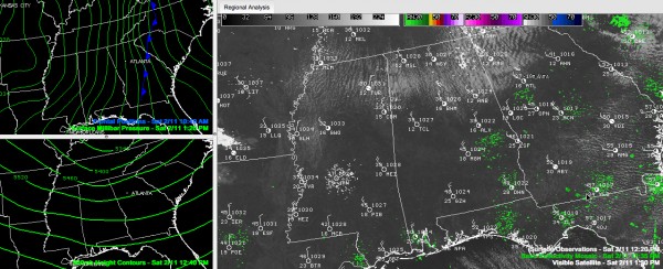
A miserably cold afternoon is in progress across Central Alabama.
Temperatures are holding basically steady in the 30s. A cold northwest wind averaging 10-20 mph is gusting occasionally to over 35 mph. Wind advisories in effect.
Winds chills are in the teens, with an occasional single digit showing. This is not dangerous in teh short term, but long term exposure without protective clothing can lead to hypothermia.
There have been a few snow flurries shaken out of the stratocumulus clouds from time to time, but they aren’t amounting to anything.
Hard freeze tonight with lows in the teens in most locations. Protect people, pets, plants and pipes.
Not much warmer tomorrow. A little warmer Monday, but precipitation arrives Monday night. Could start off as sleet or snow or a mix Monday night in spots. More details later, but no major problems expected
Rain again late in the week.
Wet weather systems on the board for the 21st/22nd and the 23rd. The latter system seems to have a chance to be a severe weather producer, so we will keep an eye on that one. That one will be followed by another system around the 25th. We could build a decent rainfall surplus by the end of February. Won’t hear any complaints from me as we move toward a long, hot summer. No real cold weather in sight for now after our current cold spell.
Category: Alabama's Weather, Winter Weather


