Calm So Far
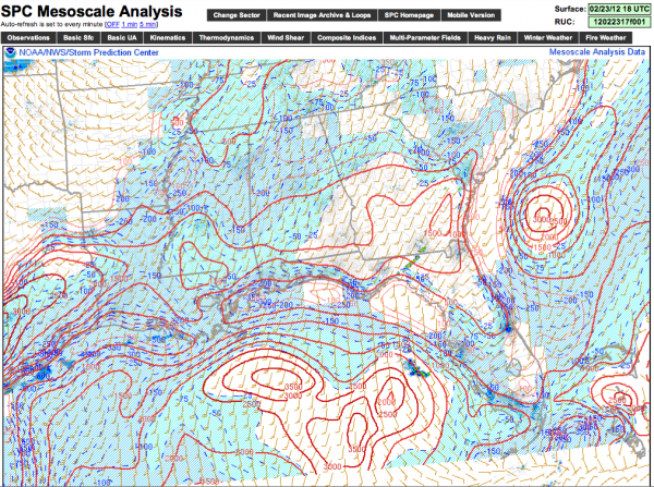
The atmosphere across Alabama remains capped, and there are no showers or storms around the state this evening. Below is the current instability, in the form of surface based CAPE. Note just moderate values now that the sun is down… generally under 500 j/kg over North-Central Alabama.
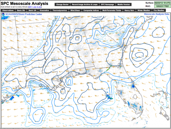
But, note the supercell composite index below is relatively high due to very strong wind shear over the state….
With dynamic forcing approaches from the west, the cap should break sometime between 8:00 and 10:00 p.m… and showers and storms will form. Ultimately a line of storms will form late tonight and move through the state; the primary threat will come from hail and strong, gusty winds with this line, but one or two isolated tornadoes can’t be ruled out completely.
Seems like now our main window for strong to severe storms will come from about 9:00 p.m. until 3:00 a.m., with the highest chance of seeing a severe storm along and north of I-20. Stay tuned for updates…
Category: Alabama's Weather


