Wet Morning in the Port City
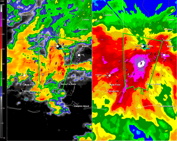
Heavy rain and thunderstorms moving northward out of the Gulf across Mobile County in Southwest Alabama will produce flooding over the net few hours.
The NWS Mobile has issued a flash flood warning effective until 2:30 p.m. for parts of Mobile County, including western and southwestern sections of the city. It does not include downtown Mobile.
The warning polygon is shown in the graphic. Click to enlarge it. You can see some extreme rainfall estimates from the Doppler radar in the panel on the right. Storm totals since Thursday morning are shown and indicate 6-10 inches of rain has already fallen in those areas. Additional heavy rain will cause flash flooding.
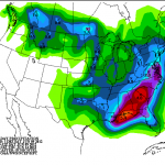
Rain is lifting northward this morning ahead of a warm front. Rain will arrive in Birmingham after lunch and off and on showers with some embedded thunder will be the rule through the afternoon. Storms are not expected to be heavy. Updated 5 day precipitation forecasts from the guys up at HPC show a tight gradient of rainfall amounts from northwester to southeast across Alabama through Wednesday morning with around 1 inch in the northwest, 1.5-2 inches in the I-59 corridor and 3-4 inches in the southeastern parts of Central Alabama down around I-85.
Category: Alabama's Weather


