Examining the Details
It’s hard to get a good handle on what to expect across Central Alabama on this Saturday afternoon. Let’s examine some of the elements of the weather together:
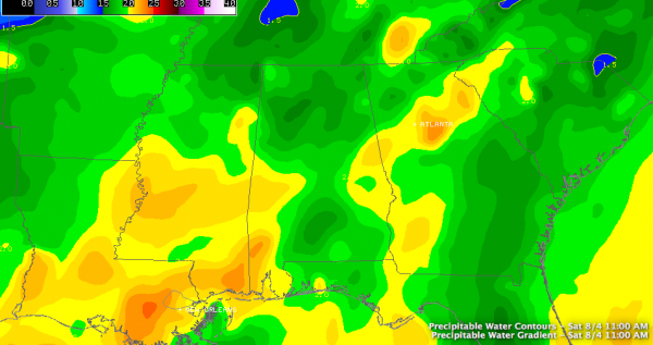
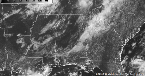
DRIER AIR, WIDELY SCATTERED STORMS: This morning’s balloon launched from the Shelby County Airport showed really moist conditions below 10,000 feet, with drier air aloft. Precipitable water values were lower across the northern half of the state because of this. This has allowed skies to clear in the I-59 corridor. It looks like we will see afternoon readings reach the lower 90s in this corridor, and that should be sufficient to trigger widely scattered afternoon storms along and southeast of a line from south of Tuscaloosa to Birmingham to Fort Payne.
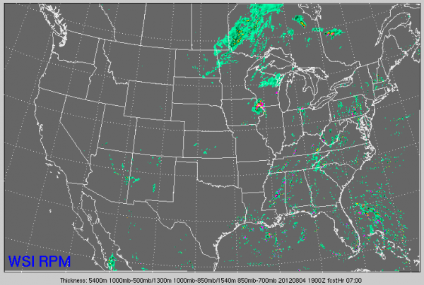
NORTHWEST/WEST CENTRAL ALABAMA: Clouds were building over areas from Tuscaloosa northward at late morning. Showers were beginning to pop up as well from the Quad Cities into Marion and northern Pickens Counties. This activity is depicted well on the RPM model and seems to be associated with some energy spreading southeast in the wake of dying complex of storms over eastern Kentucky and Tennessee. It should die out by 7 p.m.
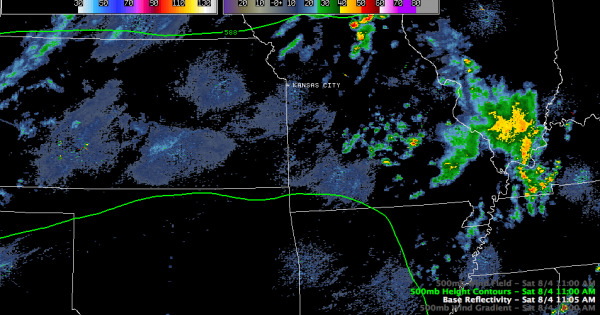
MISSOURI DISTURBANCE: An upper level disturbance moving southeastward out of Missouri was triggering more showers and storms this morning. This activity was dying as well, but the tail end of that disturbance could trigger storms later tonight over Northwest Alabama as more unstable air moves into the area.
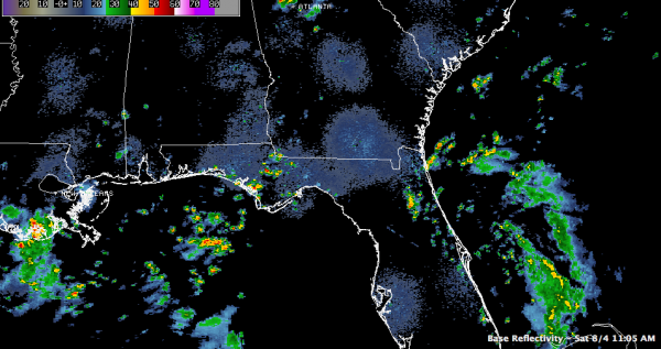
FLORIDA/GEORGIA TROUGH: Showers and storms associated with the trough of low pressure that we had been talking about over the Bahamas were moving onshore in Northeast Florida and Georgia this morning. This moisture will continue to push northwestward and could affect Southeast Alabama, but should stay southeast of us.
SO, ALL OF THAT TO SAY: The best chance of showers and storms today looks like it may be over northwestern sections of the area, from north of Tuscaloosa to Jasper to Decatur. Storms will be fewer in number in the I-59 corridor. Chances will be less southeast of I-59, although there will be a few showers and storms near the Georgia border. Highs will make the lower 90s in most spots, except where there is significant precipitation and clouds into mid-afternoon.
Showers and storms will die out quickly around sunset, but there could be storms overnight, especially over Northwest Alabama.
Category: Alabama's Weather


