Quiet So Far, But Showers Increasing
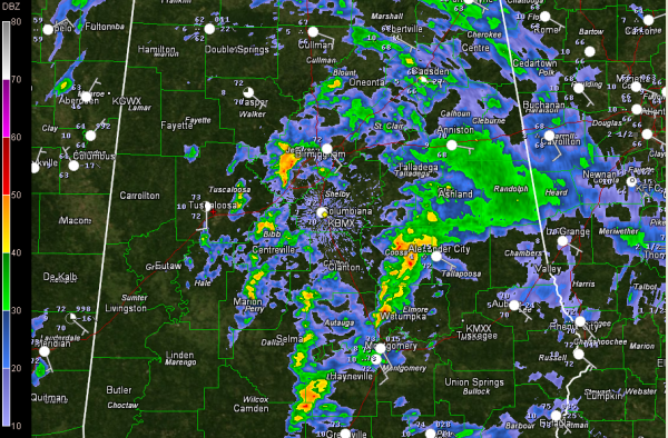
It has been a quiet night across Central Alabama in the severe weather department. Here’s the current radar:
The wire has been quiet overnight, with just flash flood information out of Mississippi and the notices canceling the tornado watch early in Louisiana and Mississippi. There have been no severe thunderstorm or tornado warnings since 11:10 p.m. when Mobile issued one.
There is just not enough instability to get any strong thunderstorms started, despite decent wins shear both in the low levels and overall.
Showers and storms have been on the increase in the past 30 minutes however, especially west of Birmingham, and from Montgomery to Alex City. The storms west of Wetumpka are the strongest at this time. They are not severe, but with decent wind shear, both overall and with some spin in the lowest part of the atmosphere, we will be watching them.
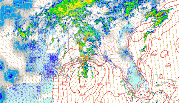
Right now, the best instability is limited to South Alabama, where 500-1,000 j/kg is present
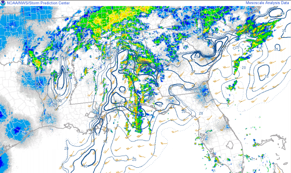
Here is the bulk shear, which shows enough speed shear for organized storms:
The increasing showers are a sign that things may be getting more active and the severe weather threat will continue today across much of the state, including the threat of tornadoes, mainly east of I-65.
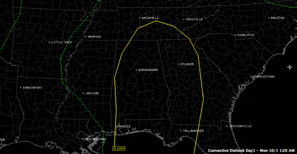
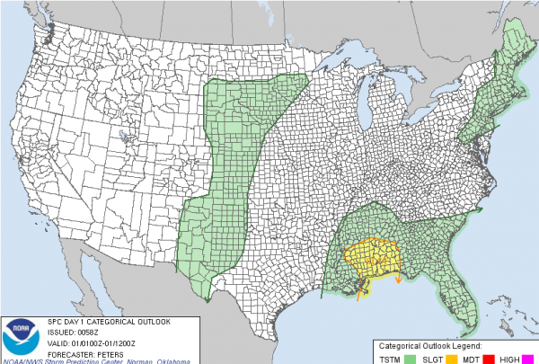
The SPC does have almost all of Alabama in a slight risk outlook, their standard severe weather forecast, for today starting at 7 a.m. Here is the current outlook beginning at 7 a.m.
Until then, this is the current slight risk area:
Category: Alabama's Weather, Severe Weather

