

Drier Air Invading
There was quite a variety in sky conditions across Central Alabama this morning as fog and low clouds developed in a few spots, giving the day a gray start. In other locations, sunshine was in full force.
Morning lows in the I-20 corridor ranged from 69F at Anniston to 71F at Tuscaloosa, to 73F at Birmingham where clouds were thicker. Those clouds and fog burned off through the morning hours, leaving increasing sunshine.
Some high clouds were streaming across from the northwest however. That hint about the upper level wind flow might give us a clue to the upcoming weather, even if we didn’t have weather maps.
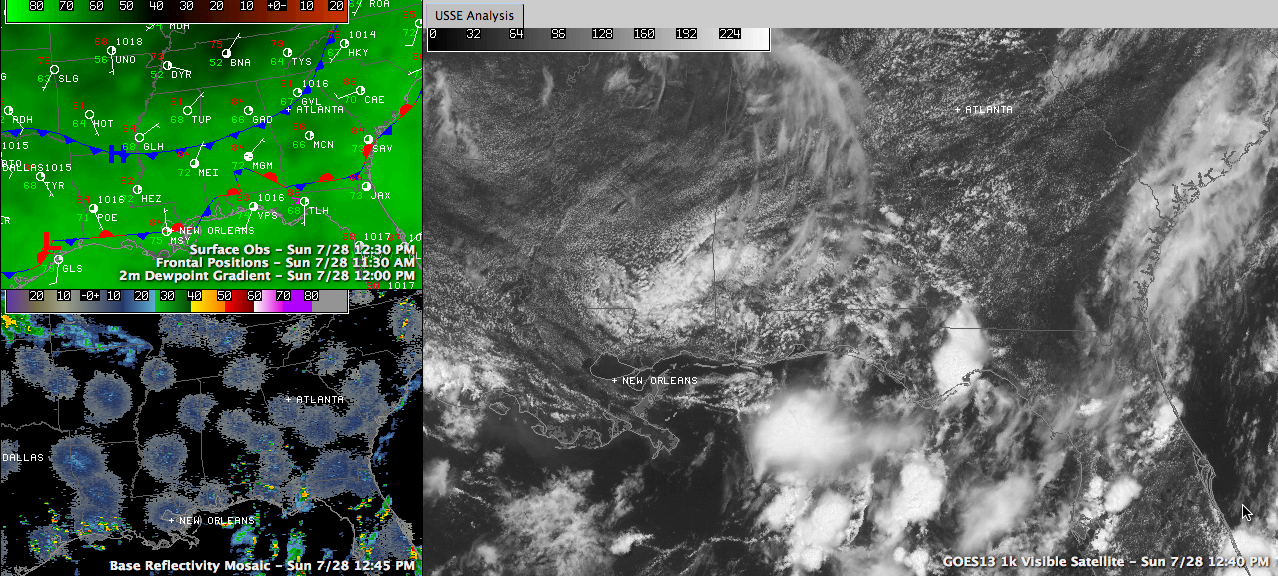
But we do. And on those weather maps early this afternoon we see a cool front dropping south through northern Alabama, aided by that northwesterly flow. This front separates moist air with dewpoints in the upper 60s from much drier air with dewpoints in the 50s. The dewpoint reading at Nashville at noon was 52F while at Birmingham it was 69F. This front and the drier air will continue dropping southward through the afternoon and evening hours.
A scattered shower or two or even a storm could develop ahead of the front, mainly over South Central Alabama during the afternoon, but the chance is very small.
Temperatures at noon across the middle of the state ranged from 82F at Calera to 84F at Gadsden, Anniston and Birmingham to 86F at Tuscaloosa. Highs will be in the middle and upper 80s.
As those dewpoints settle into the upper 50s tonight, a few normally colder locations may see the thermometer follow into the 50s as well. Most people will be in the lower and middle 60s as well.
With drier air dominating the weather on Monday, we should experience a quiet day on the radar around here. After that refreshing start tomorrow morning, highs will top out near 90F with an ample supply of sunshine
Category: Alabama's Weather
About the Author (Author Profile)
Bill Murray is the President of The Weather Factory. He is the site's official weather historian and a weekend forecaster. He also anchors the site's severe weather coverage. Bill Murray is the proud holder of National Weather Association Digital Seal #0001 @wxhistorianSubscribe
If you enjoyed this article, subscribe to receive more just like it.


