Augtober
I saw someone refer to this as Augtober yesterday on Twitter, and that is pretty apropos for Central Alabama with the cool temperatures in place. Highs today are more typical of October than the middle of August.
Clouds are thick across the northern half of the area, with a moist easterly flow in place.
Noon temperatures are around 70F, with a cool 68F at Birmingham. Highs will be limited to the lower and middle 70s. This could put the daily record cool maximum at risk at Birmingham. The previous record is 76F.
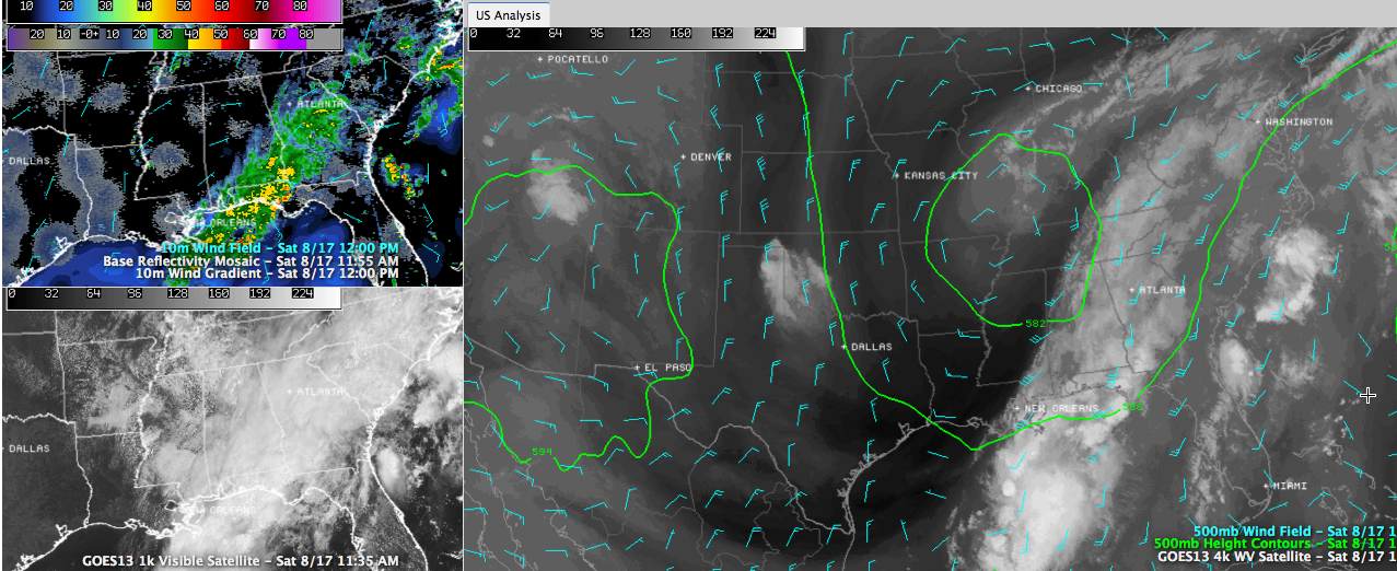
Rain is widespread and heavy across the southeastern half of the area, in areas south and east of I-65 and I-85. This is under the plume of tropical moisture that is being drawn northward by the anomalous upper level low over the Missouri Bootheel.
Like a spinner on an old fashioned pinball machine, the flow is being further accelerated by the low pressure system over the southwestern Gulf. That’s disturbance 92L in NHC parlance, and there is still a chance it could become a depression over the weekend before it makes the Texas Coast late Monday.
Thunderstorms were blowing up over the southwestern and middle Gulf early this afternoon and all of that activity will spread northward to the Gulf Coast later today and tonight.
Some of the activity will work more northward tonight and Sunday morning, increasing our rain chances. Highs on Sunday will be in the 70s as well.
Category: Alabama's Weather
About the Author (Author Profile)
Bill Murray is the President of The Weather Factory. He is the site's official weather historian and a weekend forecaster. He also anchors the site's severe weather coverage. Bill Murray is the proud holder of National Weather Association Digital Seal #0001 @wxhistorianSubscribe
If you enjoyed this article, subscribe to receive more just like it.


