Big Change To Cold Weather Ahead
An all new edition of the ABC 33/40 Weather Xtreme video is available in the player on the right sidebar of the blog. You can subscribe to the Weather Xtreme video on iTunes by clicking here.
MILD MONDAY: What a great Veterans Day across the great state of Alabama. Montgomery has warmed to 77 degrees; Tuscaloosa has reached 74, and Birmingham is at 72 this afternoon. The sky is mostly sunny, and all seems right with the world. But… the coldest air so far this season is moving quickly in our direction, and that barbed wire fence on the Alabama/Tennessee border won’t keep it back.
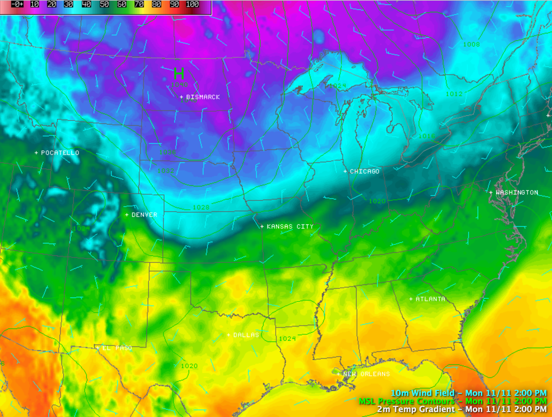
ICY WIND TOMORROW: Tomorrow’s high will all depend on where you live. Around Florence and Muscle Shoals, your high might come around 8:00 or 9:00 a.m.; Birmingham’s high will be reached around midday, and those of you in East Alabama should see a maximum during the early afternoon hours. The high will be in the low to mid 50s for most places, but it will be a day with falling temperatures during the afternoon hours. And, as we drop into the 40s, strong northwest winds averaging 15-25 mph will make it feel colder. Gusts will reach 30 mph at times due to the right pressure gradient.
COLDEST SO FAR: Looks like we can expect lows in the 22 to 28 degree range for most communities early Wednesday and Thursday morning. Again, here are the record lows…
November 13 22 (1911)
November 14 24 (1986)
Don’t think we hit those levels at the Birmingham Airport, where records are kept, but colder pockets will indeed see record levels.
Despite sunshine in full supply, we won’t get out of the 40s Wednesday, but at least the wind won’t be bad. Then, Thursday afternoon, a warming trend begins as we rise into the mid 50s with a sunny sky.
Friday will feature a mix of sun and clouds with a high in the low 60s.
THE ALABAMA WEEKEND: After a careful review of the 12Z model set, it still looks like most of the day Saturday will be dry despite an increase in moisture. Understand the chance of rain is not zero, but any showers Saturday should be few and far between. The better chance of showers will hold off until Sunday with the approach of a cold front. Some thunder is not out of the question Sunday afternoon, but severe weather isn’t expected.
The weekend will be mild with afternoon highs in the 67 to 70 degree range both days.
Colder air moves back into the state early next week.
VOODOO LAND: The good news is that we don’t see any sign of severe weather programs for Alabama over the next 15 days, and the GFS is suggesting relatively mild conditions as we approach Thanksgiving. See the Weather Xtreme video for the maps, graphics, and details.
WEATHER BRAINS: Don’t forget you can listen to our weekly 90 minute netcast anytime on the web, or on iTunes. This is the show all about weather featuring many familiar voices, including our meteorologists here at ABC 33/40. We will produce this week’s show tonight at 8:30p CT… watch it on “James Spann 24/7” on cable systems around the state, or on the web here.
CONNECT: You can find me on all of the major social networks…
Facebook
Twitter
Google Plus
Instagram
Look for the next Weather Xtreme video here by 7:00 a.m. tomorrow…
Category: Alabama's Weather
About the Author (Author Profile)
James Spann is one of the most recognized and trusted television meteorologists in the industry. He holds the AMS CCM designation and television seals from the AMS and NWA. He is a past winner of the Broadcast Meteorologist of the Year from both professional organizations.Subscribe
If you enjoyed this article, subscribe to receive more just like it.


