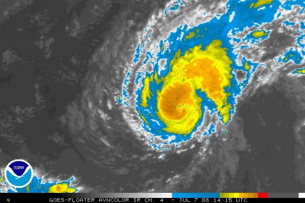
Bertha Strengthening…
The second named storm of the 2008 North Atlantic hurricane season has been remarkable already because it formed so far east. In fact, it formed further east than any June or July tropical storm.
This morning, Bertha became a hurricane. It looks impressive on satellite. It may be a category two hurricane later today. Our friends, the Hurricane Hunters, will make their first trip into the system tomorrow.
Conditions will be favorable for strengthening through the next 48 hours, but after that, increasing wind shear should limit intensification.
Bertha is about 775 miles east of the Leeward Islands, moving west at around 15 mph. The official track takes it on a more northwesterly course, slowing with time, missing the islands. The eventual track of Bertha is highly uncertain. Will it affect the East Coast of the U.S., or Bermuda? Or recurve out to sea harmlessly. Only time will tell.
Category: Uncategorized


