

Mild Today; Much Colder Tomorrow
An all new edition of the ABC 33/40 Weather Xtreme video is available in the player on the right sidebar of the blog. You can subscribe to the Weather Xtreme video on iTunes by clicking here.
ENJOY THE DAY: Doesn’t get much better than today… sunshine in full supply and an afternoon high around 60 degrees. The last time we had a high of 60 degrees or higher was back on January 12, and we have seen 60 degree warmth on only two days this month (January 11-12).
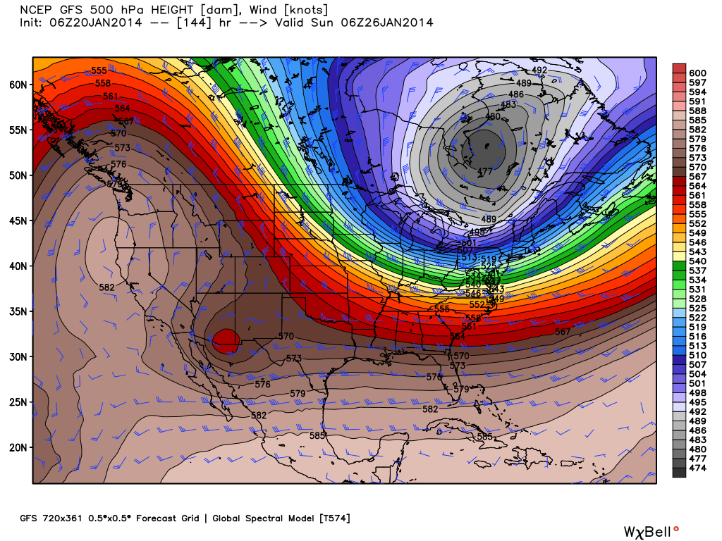
BACK INTO THE DEEP FREEZE TOMORROW: Our warmth won’t last long; strong northwest winds of 15-25 mph will usher in much colder air tomorrow. The high will be only around 40 degrees, and the wind will make it feel colder as yet another upper trough forms over the eastern half of the U.S.
The temperature will drop into the upper teens at daybreak Wednesday with a clear sky; the wind chill index will be in the single digits. We will have a hard time getting out of the 30s Wednesday and Thursday, and even colder air arrives Friday. Sure looks like we stay below freezing all day Friday despite a sunny sky, and the 00Z GFS is printing a low of 12 degrees for Birmingham at daybreak Saturday.
Here is a list of our forecast lows for the next few days… so you can plan accordingly…
Tuesday morning 32-35
Wednesday morning 14-19
Thursday morning 19-24
Friday morning 11-16
Saturday morning 9-14
These values could change, and of course there will be colder pockets where temperatures could be lower. The ECMWF (European) model is hinting at single digit lows over the northeast corner of Alabama early Friday morning.
One way or another, plan on a hard freeze for four consecutive mornings (Wednesday through Saturday).
This won’t be quite as cold as the Arctic outbreak earlier this month for us, but certainly cold enough. And, we should mention there is no risk of any significant snow with the cold air. The week should be dry.
THE ALABAMA WEEKEND: After the frigid morning Saturday, we warm into the 40s Saturday afternoon with a sunny sky, and there is a chance we see 50 degrees Sunday afternoon as a warming trend gets underway. No moisture means no chance of any precipitation over the weekend… both days should feature a mostly sunny sky.
NEXT WEEK: Another colder airmass will drop into Alabama early next week keeping temperatures below average. See the Weather Xtreme video for the maps, graphics, and more details.
WEATHER BRAINS: Don’t forget you can listen to our weekly 90 minute netcast anytime on the web, or on iTunes. This is the show all about weather featuring many familiar voices, including our meteorologists here at ABC 33/40. We will produce this week’s show tonight at 8:30 CT… you can watch it on “James Spann 24/7” on cable systems around the state, or on the web here.
CONNECT: You can find me on all of the major social networks…
Facebook
Twitter
Google Plus
Instagram
Look for the next Weather Xtreme video here by 4:00 this afternoon…. enjoy the day…
Category: Alabama's Weather
About the Author (Author Profile)
James Spann is one of the most recognized and trusted television meteorologists in the industry. He holds the AMS CCM designation and television seals from the AMS and NWA. He is a past winner of the Broadcast Meteorologist of the Year from both professional organizations.Subscribe
If you enjoyed this article, subscribe to receive more just like it.


