Mid-Morning Snow Update
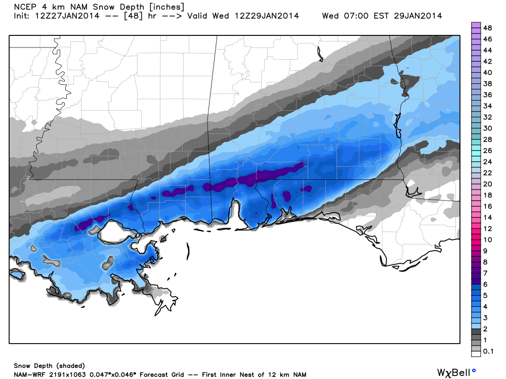
After a review of the morning computer model guidance, looks like the forecast is generally on track. High resolution (4km) data from the NAM (North American Mesoscale) model hints we will need to ramp up the potential snow amounts for South Alabama tomorrow and tomorrow night…
Here is our new forecast for the snow event tomorrow and tomorrow night…
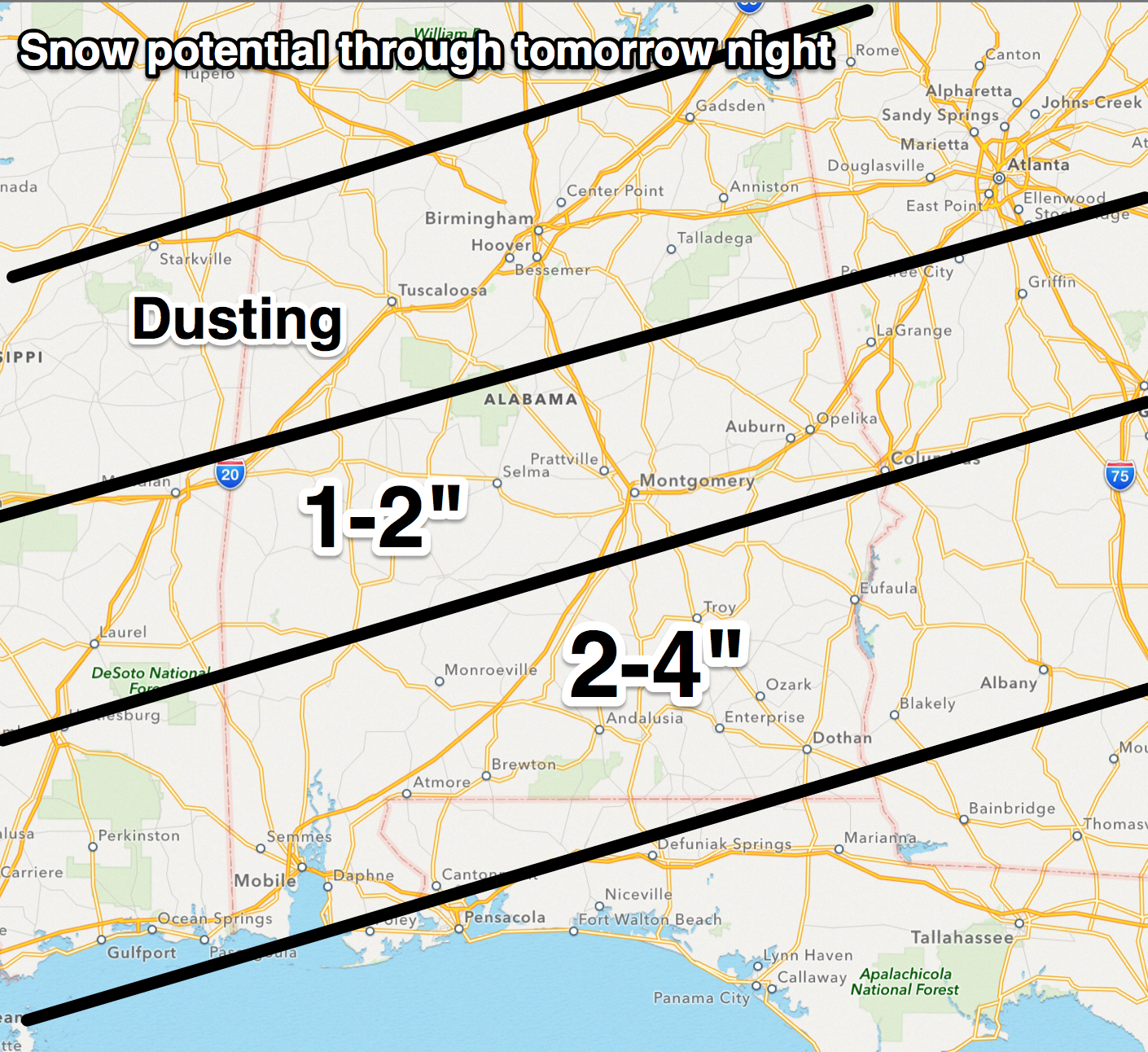
Heaviest snow, 2 to 4 inches, will be south of Montgomery. Potential for 1 to 2 inches are far north as Demopolis, Clanton, and Wedowee, which is the northern edge of the Winter Storm Watch.
Just a dusting of snow for places like Birmingham, Tuscaloosa, Anniston, and Gadsden.
NOTES: Some important notes on this developing winter storm…
*I do believe some parts of South Alabama might actually go a little above 4 inches, but no skill in trying to identify where this happens exactly.
*Freezing/frozen precipitation could begin across Alabama as early as 6:00 tomorrow morning. Greatest risk of accumulating snow comes later in the day, however. Some icy spots on bridges could develop as early as mid-morning over South-Central Alabama, but the higher probabilities of dangerous travel come after 5:00 p.m. tomorrow.
*Freezing rain and sleet could be involved near the Gulf Coast as the event begins tomorrow, before it changes to all snow tomorrow night.
*Bridge icing and hazardous travel is likely over the southern half of Alabama late tomorrow, tomorrow night, and Wednesday morning. Be aware of this and understand this could greatly impact the I-10 Bayway from Mobile to Spanish Fort, and all other bridges across the southern part of Alabama.
*Snow is a good possibility for Birmingham, Tuscaloosa, Anniston, and Gadsden, but it should be generally light and spotty, and significant accumulations are not expected at this point, and major travel issues are not expected. However, a dusting is very possible.
*Forecasting snow in Alabama is never easy, and look for surprises and potential forecast changes as the event unfolds tomorrow. Not much skill in dealing with South Alabama snow events simply because it doesn’t happen much.
*This will be a huge snow storm for eastern parts of the Carolinas; somebody around Wilmington, NC could get close to one foot.
More later today… stay tuned…
Category: Alabama's Weather
About the Author (Author Profile)
James Spann is one of the most recognized and trusted television meteorologists in the industry. He holds the AMS CCM designation and television seals from the AMS and NWA. He is a past winner of the Broadcast Meteorologist of the Year from both professional organizations.Subscribe
If you enjoyed this article, subscribe to receive more just like it.


