

Winter Storm Warning Extended North
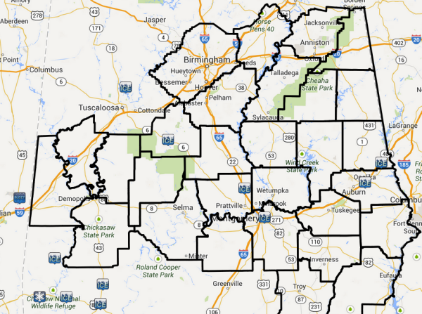
The NWS has extended the area covered by the Winter Storm Warning to include: Bibb, Calhoun, Chilton, Clay, Cleburne, Coosa, Greene, Hale, Jefferson, Perry, Randolph, Shelby, St. Clair, Sumter, Talladega through 6 a.m. tomorrow morning.
The following counties continue under the Winter Storm Warning as well: Autauga, Barbour, Bullock, Chambers, Dallas, Elmore, Lee, Lowndes, Macon, Marengo, Montgomery, Pike, Russell and Tallapoosa.
The following counties continue under a Winter Weather Advisory: Blount, Cherokee, Etowah, Fayette, Pickens, Tuscaloosa, Walker
UPDATE AT 11:20
The back edge of the moderate snow now extends from Eutaw to Coaling to downtown Birmingham to Ashville and Gadsden. It is progressing slowly southeast. Snow is actually increasing over southern Jefferson County. This snow will continue into Shelby County.
Some light snow is reforming from Pickens through northern Tuscaloosa, southern Walker to northwestern Jefferson County.
Snow will continue through the afternoon hours for areas generally along and south of I-59.
Many folks are on area highways now which are snowcovered and slick. Be careful and take it easy.
…WINTER STORM IMPACTING MUCH OF CENTRAL ALABAMA…
THE HIGHEST THREAT AREA FOR SIGNIFICANT ICE AND SNOW ACCUMULATION
WILL BE ALONG AND SOUTH OF INTERSTATE 20 AND 59. SNOW
ACCUMULATIONS OF 1 TO 3 INCHES WILL BE POSSIBLE ACROSS THE
CENTRAL AND EASTERN PORTIONS OF CENTRAL ALABAMA AND AT LEAST A
QUARTER INCH OF ICE IN THE SOUTHERN COUNTIES WITH ADDITIONAL SNOW
EXPECTED LATER.
CALHOUN-CLEBURNE-JEFFERSON-SHELBY-ST. CLAIR-TALLADEGA-CLAY-
RANDOLPH-SUMTER-GREENE-HALE-PERRY-BIBB-CHILTON-COOSA-
INCLUDING THE CITIES OF…ANNISTON…HEFLIN…BIRMINGHAM…
HOOVER…PELHAM…ALABASTER…PELL CITY…MOODY…TALLADEGA…
SYLACAUGA…ASHLAND…ROANOKE…LIVINGSTON…EUTAW…GREENSBORO…
MARION…CENTREVILLE…CLANTON…ROCKFORD
1106 AM CST TUE JAN 28 2014
…WINTER STORM WARNING IN EFFECT UNTIL 6 AM CST WEDNESDAY…
THE NATIONAL WEATHER SERVICE IN BIRMINGHAM HAS ISSUED A WINTER
STORM WARNING FOR ICE…SLEET…AND SNOW…WHICH IS IN EFFECT UNTIL 6
AM CST WEDNESDAY. THE WINTER WEATHER ADVISORY IS NO LONGER IN
EFFECT.
* TIMING…LIGHT TO MODERATE SNOW IS EXPECT THROUGH MOST OF THE
DAY. THE BEST CHANCE FOR ACCUMULATIONS WILL BE BETWEEN 11 AM
AND 9 PM.
* LOCATION…MAINLY ALONG AND SOUTH OF INTERSTATE 20 AND 59.
* ACCUMULATIONS…2 TO 3 INCHES.
PRECAUTIONARY/PREPAREDNESS ACTIONS…
A WINTER STORM WARNING MEANS SIGNIFICANT AMOUNTS OF SNOW…
SLEET…AND ICE ARE EXPECTED OR OCCURRING. STRONG WINDS ARE ALSO
POSSIBLE. THIS WILL MAKE TRAVEL VERY HAZARDOUS OR IMPOSSIBLE.
Category: Alabama's Weather, Winter Weather
About the Author (Author Profile)
Macon, Georgia Television Chief Meteorologist, Birmingham native, and long time Contributor on AlabamaWX. Stormchaser. I did not choose Weather, it chose Me. College Football Fanatic. @Ryan_StinnetSubscribe
If you enjoyed this article, subscribe to receive more just like it.


