Raw, Chilly Day; More Rain Ahead
An all new edition of the ABC 33/40 Weather Xtreme video is available in the player on the right sidebar of the blog. You can subscribe to the Weather Xtreme video on iTunes by clicking here.
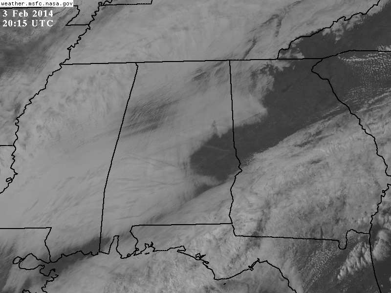
COLD, OVERCAST MONDAY: Nobody seeing 50 degrees this afternoon; readings are generally in the upper 30s over the Tennessee Valley, and low to mid 40s over North-Central Alabama. As expected, the clouds are hanging tough in most places, although there are breaks in the overcast over Northwest Alabama, and a nice hole in the clouds over East-Central Alabama.
MORE RAIN AHEAD: A vigorous weather system will bring another round of rain to Alabama tomorrow and tomorrow night. The main window for the most organized rain will come from about 3:00 p.m. tomorrow until 3:00 a.m. Wednesday, although we sure can’t rule out showers tomorrow morning. The high tomorrow will be around 60 degrees, and we will mention a chance of thunderstorms with the rain tomorrow night. The good news is that there is no real surface based instability, and no significant risk of severe weather. SPC has taken the low end 5 percent severe weather probabilities out of Alabama. Dynamic support is excellent, so a strong storm is possible, but severe weather just looks very unlikely for now. Rain amounts of around one inch are likely.
WEDNESDAY/THURSDAY: Wednesday will be a day much like today. Lingering clouds, a chilly breeze, and colder temperatures as we see air coming off the snow over over the Plains and the Midwest. Thursday will be dry and chilly as well; the high both days should be in the 40s.
WET WEEKEND: Showers could form over Alabama on Friday as moisture levels rise along with isentropic upglide, but the latest GFS isn’t really bullish on too much rain Friday. For now we will just mention a chance of showers; the sky will be mostly cloudy Friday with a high back in the 50s.
Yet another dynamic weather system will blow into Alabama with another good soaking over the weekend. Considerable model differences remain, so forecasting the timing of the rain is challenging at this point. One way or another, rain is likely Saturday and Saturday night, and possibly into Sunday. The GFS is the slower model, keeping rain going through midday Sunday, while the ECMWF moves the rain out late Saturday night.
No severe storms, just a good soaking with rain amounts of around one inch (much like the system tomorrow night).
SNOW FLAKES? Both the GFS and the ECMWF hint there will be sufficient “wrap around” moisture on the back side of the departing system for a few snow flurries across North Alabama Sunday afternoon or Sunday night as much colder air flows into the state. Sunday could very well be a day with temperatures falling into the 30s with that risk of flurries.
Snow flurries on the back side of a departing system rare create any problems around here, but we will watch model trends in coming days. Take some time to watch the Weather Xtreme video for the maps, graphics, and details.
Monday of next week looks dry but chilly with a high in the 40s.
LONG RANGE: A wavy, zonal flow will continue across North America through mid-month, meaning active weather continuing around here with occasional rain producing systems. We see nothing through 15 days to suggest any major winter storm for the Deep South; the big snows will remain north of here with just an occasional risk of flurries.
WEATHER BRAINS: Don’t forget you can listen to our weekly 90 minute netcast anytime on the web, or on iTunes. This is the show all about weather featuring many familiar voices, including our meteorologists here at ABC 33/40. Bill Murray will be live tonight from the American Meteorological Society annual meeting in Atlanta, and we will discuss the snow forecast from last week that caused so much pain. The show begins at 8:30p CT, and you can watch it live on “James Spann 24/7” on cable systems around the state, or on the web here.
CONNECT: You can find me on all of the major social networks…
Facebook
Twitter
Google Plus
Instagram
I had a great time today visiting with the first graders at Eden Elementary School in Pell City; be looking for them on the Pepsi KIDCAM today at 5:00 on ABC 33/40 News. The next Weather Xtreme video will be posted early tomorrow morning by 7:00 a.m…..
Category: Alabama's Weather
About the Author (Author Profile)
James Spann is one of the most recognized and trusted television meteorologists in the industry. He holds the AMS CCM designation and television seals from the AMS and NWA. He is a past winner of the Broadcast Meteorologist of the Year from both professional organizations.Subscribe
If you enjoyed this article, subscribe to receive more just like it.


