

Winter Weather Mess
**I won’t be able to produce a Weather Xtreme video this morning due to ongoing winter weather conditions. This first wave will taper off later this morning, and I should be able to produce one this afternoon*
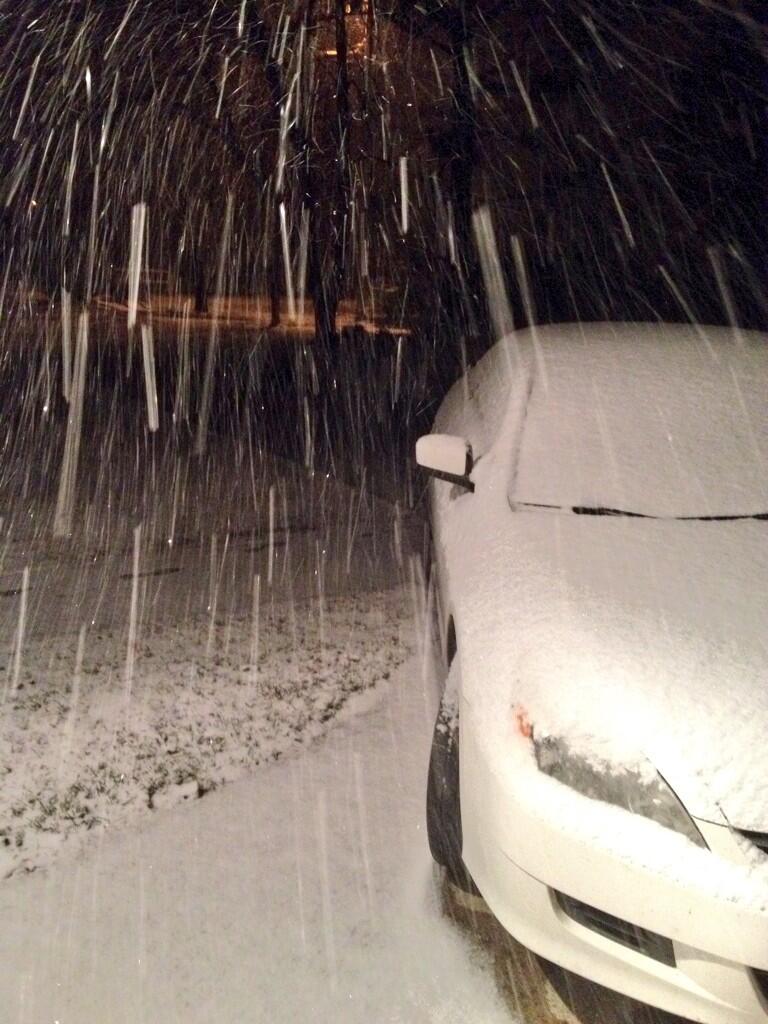
ICY MESS: The forecast has been pretty much on track overnight. Lots of snow along the U.S. 278 corridor, icing issues just north of I-20 due to freezing rain. A few notes concerning the current situation.
*Cullman EMA has closed a number of streets within the city of Cullman, and all travel across Cullman County is discouraged.
*Icy roads and bridges are also reported across much of Winston and Blount Counties.
*Roads in Hamilton (Marion County) are slick and travel is discouraged.
*The Birmingham Airport is now reporting a temp of 32 degrees. Freezing line continues to inch southward. Bridge icing should begin very shortly in the B’ham metro.
*Ice accumulation reported north of Tuscaloosa, near Samantha (northern Tuscaloosa County).
*Sleet/snow/freezing rain around Gadsden with sub-freezing temperatures.
Here is the snow this morning at Fort Payne… photo from Gary Parker
IMPORTANT: The freeze line is moving south, meaning travel conditions could very deteroiate in Tuscaloosa and Anniston within the hour. Just because it is above freezing at 5:00 a.m. doesn’t mean it will be above freezing at 7:00 a.m. Bridge icing is very possible everywhere along I-20 within the next three hours. NWS continues a winter storm warning along and north of I-20.

THE DAY AHEAD: The wintry mix will taper off late this morning, and temperatures along the I-20 corridor will rise into the mid 30s easing any ice issues. However, to the north, I doubt if many places rise above freezing today, where snow and ice is an issue (places like Cullman, Hamilton, etc). This means hazardous driving conditions will continue through the day from roughly the U.S. 278 corridor north.
WINTER STORM, SECOND PHASE: The second wave of precipitation will move in tonight and tomorrow, and it will bring more winter weather woes to Alabama. A winter storm warning will remain in effect for much of North and East Alabama for this second impulse. The greatest risk of snow and ice will be north and east of a line from Florence to Birmingham to Auburn. We expect just a cold rain for much of West-Central Alabama… places like Tuscaloosa most likely will have no ice/snow problems.
Here is the NWS snow projection for “phase two”… tonight through tomorrow…

Higher snow totals, possibly in the 3-4 inch range, will be over Northeast Alabama, including Anniston and Gadsden. This is where colder air will drain into the state from the east; the “cold air damming” effect.
EAST-CENTRAL ALABAMA: I am also concerned over the potential for freezing rain and ice accumulation tomorrow over counties like Randolph, Chambers, and Lee. This is where the cold air won’t be deep enough for snow, and temperatures at the surface will be near or below freezing. If there is freezing rain here, there could be enough ice accumulation for power outages.
ATLANTA: This has the potential to be a crippling ice storm for Atlanta… and east to near Columbia, SC with a large amount of freezing rain and ice. Extended power outages are likely.
Our weather improves Thursday with a clearing sky, and the weekend ahead will be dry and mild with 60s likely by Sunday.
WEATHER BRAINS: Don’t forget you can listen to our weekly 90 minute netcast anytime on the web, or on iTunes. This is the show all about weather featuring many familiar voices, including our meteorologists here at ABC 33/40.
CONNECT: You can find me on all of the major social networks…
Facebook
Twitter
Google Plus
Instagram
We will have frequent updates during this “one-two punch” winter storm… stay tuned…
Category: Alabama's Weather
About the Author (Author Profile)
James Spann is one of the most recognized and trusted television meteorologists in the industry. He holds the AMS CCM designation and television seals from the AMS and NWA. He is a past winner of the Broadcast Meteorologist of the Year from both professional organizations.Subscribe
If you enjoyed this article, subscribe to receive more just like it.


