Freezing Temperatures Late Tonight
An all new edition of the ABC 33/40 Weather Xtreme video is available in the player on the right sidebar of the blog. You can subscribe to the Weather Xtreme video on iTunes by clicking here.
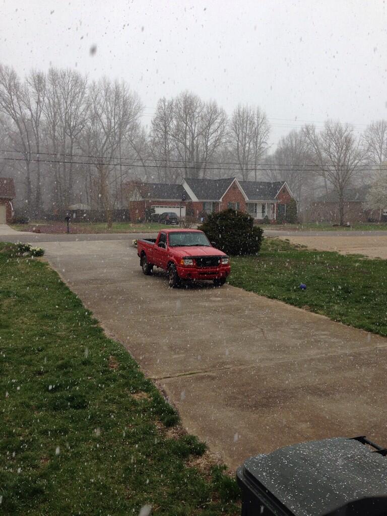
COLD, BLUSTERY LATE MARCH DAY: As forecast, this day has been windy and cold. At 3:00… Birmingham reports only 51 degrees with a northwest wind averaging 20 mph, gusting at times to 30 mph. And, just for fun, there are snow showers over the northeast corner of the state (photo is from Hazel Green via @shannong63).
FREEZE WARNING TONIGHT: The sky will be clear tonight, and the wind will slowly die down. By daybreak tomorrow, we project lows in the 25 to 30 degree range for most North-Central Alabama communities; colder valleys over North Alabama could see low 20s. A freeze is likely deep into South Alabama… only the lower half of Mobile and Baldwin Counties are not in a freeze warning.
And, as discussed here several times, I doubt if this is the last freeze. The average date of the last freeze in Birmingham is March 26, but considering the persistent upper air pattern (western ridge, eastern trough), I figure one or two more good cold snaps are possible during the first half of April.
Tomorrow will be sunny and cool, but the wind will be light and variable making for a more comfortable day. The high will be in the mid 50s.
RAIN BY THE END OF THE WEEK: Thursday will be warmer with a high in the 60s. Moisture levels will begin to rise, and while I can’t rule out the chance of a shower during the day, the better chance of organized rain will hold off until late Thursday night.
To the west, SPC has a “slight risk” of severe weather up Thursday from northeast Texas through much of Arkansas and Missouri.
Showers and a few thunderstorms are likely in Alabama Friday, but we do not expect any severe weather issues here with weakening upper support and very marginal instability values. The best chance of showers and storms will come Friday morning, but we can’t rule out a few showers into the afternoon hours as well.
OUR WEEKEND: A secondary low pressure center will form over Arkansas late Friday night, and will move to Kentucky Saturday. This will drag a cold front into the state, and will bring another round of showers and thunderstorms late Friday night into Saturday morning. While dynamic support will be better, there is hardly any surface based instability, so again severe weather is not expected to be a problem. Drier air begins to move into North Alabama Saturday afternoon, and some sun could break through the clouds. The day will be mild with a high in the low 70s.
Sunday promises to be bright and sunny, with a high near 70 degrees.
NEXT WEEK: The weather looks dry and mild Monday through Wednesday with highs in the 70s; next chance of rain comes toward the end of the week. See the Weather Xtreme video for the maps, graphics, and details.
AT THE BEACH: Sunny, cool weather for the Gulf coast tomorrow from Panama City over to Gulf Shores; the early morning low will near 40, and the high around 60. A shower is possible Thursday, but showers and storms are more likely Friday and Saturday. Then, the weather looks rain-free Sunday through Wednesday of next week with highs in the 60s on the immediate coast, with 70s inland. Sea water temperatures remain around 60 degrees.
NEED HELP WITH YOUR WEATHER RADIO? We will be at the Publix in Alabaster tomorrow from 3:30 until 6:30 p.m… if you need your weather radio programmed, have questions, or need to buy one, come see us.
WEATHER BRAINS: Don’t forget you can listen to our weekly 90 minute netcast anytime on the web, or on iTunes. This is the show all about weather featuring many familiar voices, including our meteorologists here at ABC 33/40. Scroll down for the show notes on the new episode we recorded last night.
CONNECT: You can find me on all of the major social networks…
Facebook
Twitter
Google Plus
Instagram
I enjoyed speaking to the Gadsden Women’s Club today… look for the next Weather Xtreme video here by 7:00 a.m. tomorrow….
Category: Alabama's Weather
About the Author (Author Profile)
James Spann is one of the most recognized and trusted television meteorologists in the industry. He holds the AMS CCM designation and television seals from the AMS and NWA. He is a past winner of the Broadcast Meteorologist of the Year from both professional organizations.Subscribe
If you enjoyed this article, subscribe to receive more just like it.


