

Summer Mix Of Sun And Storms
An all new edition of the ABC 33/40 Weather Xtreme video is available in the player on the right sidebar of the blog. You can subscribe to the Weather Xtreme video on iTunes by clicking here.
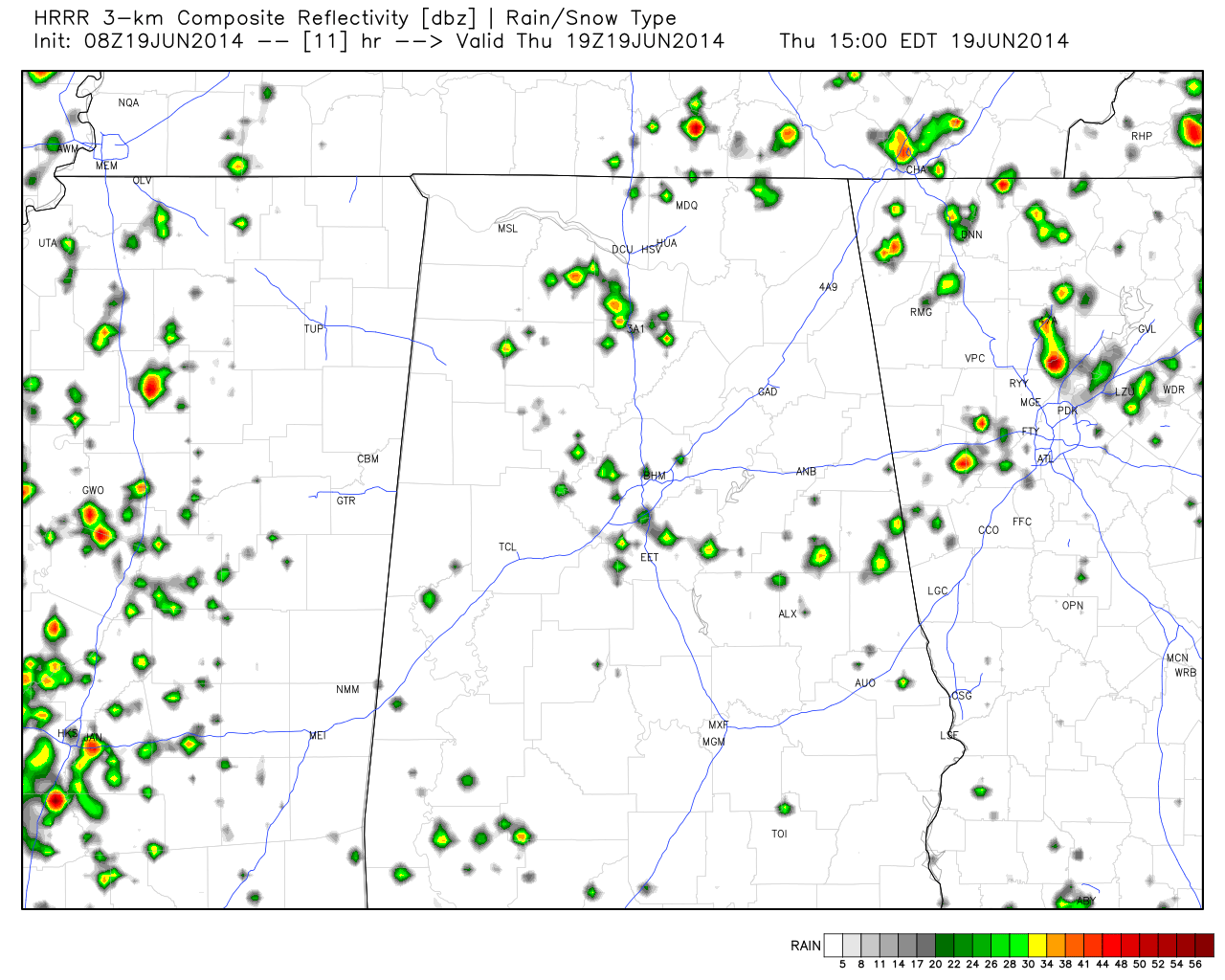
GOOD OLE SUMMER WEATHER: The overall weather pattern won’t change much across Alabama through the weekend. An upper ridge remains in place this morning, and we project a high in the low 90s today with a partly sunny sky. During the peak of the daytime heating process, a few showers and storms will form in random spots. Probably not as many as yesterday; the chance of any one spot getting wet today is about one in five. Most of the storms will come from 2:00 p.m. until 8:00 p.m., and they won’t move much at all because of light winds aloft. This is the HRRR model projection of radar at 2pm CT…
The core of the upper ridge will shift slowly to the southwest in coming days, and the air aloft will be a little colder tomorrow and over the weekend, so we expect a gradual increase in the number of afternoon storms. Not a “rainy weekend”, but no doubt we will have to deal with a few passing showers or storms Saturday and Sunday. Afternoon highs will be around 90 degrees with a mixture of clouds and sun each day.
NEXT WEEK: The trend toward increased shower and thunderstorm activity will continue as the ridge moves away and the air becomes more unstable. We will project scattered to numerous showers and storms, mostly during the afternoon and evening hours, at least through the first half of the week with highs dropping into the upper 80s.
The 00Z GFS tries to move drier air down into North Alabama by Thursday (June 26), but we all know that rarely happens in late June in Alabama. We will believe that when we see it. See the Weather Xtreme video for the maps, graphics, and details.
GULF COAST WEATHER: Mostly sunny days, fair nights along the coast from Panama City to Gulf Shores through the weekend with a few widely scattered storms around. Highs will be in the upper 80s on the immediate coast, with low 90s inland. Showers and storms will be a little more active on the coast next week, but you will still see a decent amount of sun each day. Sea water temperatures are now up in the low to mid 80s.
TROPICS: The weather is quiet across the Atlantic basin and tropical storm formation is not expected through the weekend.
WEATHER BRAINS: Don’t forget you can listen to our weekly 90 minute netcast anytime on the web, or on iTunes. This is the show all about weather featuring many familiar voices, including our meteorologists here at ABC 33/40.
CONNECT: You can find me on all of the major social networks…
Facebook
Twitter
Google Plus
Instagram
Look for the next Weather Xtreme video here by 4:00 or so this afternoon… enjoy the day!
Category: Alabama's Weather
About the Author (Author Profile)
James Spann is one of the most recognized and trusted television meteorologists in the industry. He holds the AMS CCM designation and television seals from the AMS and NWA. He is a past winner of the Broadcast Meteorologist of the Year from both professional organizations.Subscribe
If you enjoyed this article, subscribe to receive more just like it.


