

Only Isolated Showers Tomorrow and Wednesday
An all new edition of the ABC 33/40 Weather Xtreme video is available in the player on the right sidebar of the blog. You can subscribe to the Weather Xtreme video on iTunes by clicking here.
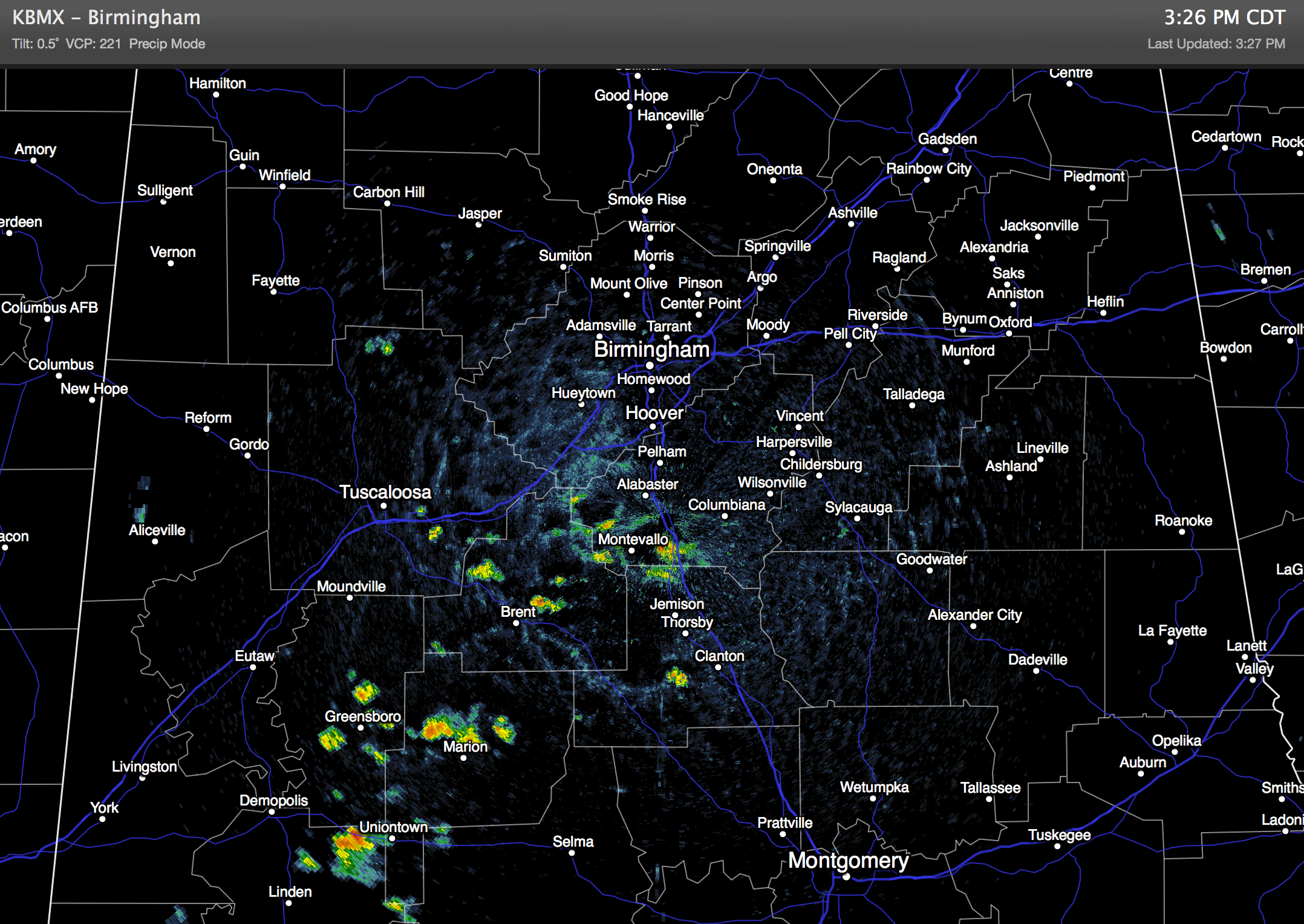
RADAR CHECK: We have a few showers and thunderstorms on radar this afternoon; most of them (but not all) are south of I-20 and west of I-65. They are moving south, and like recent days they will fizzle out by 9:00 or 10:00 tonight.
TOMORROW/WEDNESDAY: These two days look warm and relatively dry; a few showers are possible during the afternoon and evening hours, but they should be pretty widely spaced. The risk of any one spot getting wet is only about one in five. The high will be pretty close to 90 degrees in most locations.
To the north, severe storms are possible on these two days from Iowa to the Great Lakes ahead of a deepening surface low and cold front.
THURSDAY/FRIDAY: A big pattern change begins, and the cold front will move into Alabama Thursday night. We will forecast a chance of showers and storms ahead of the boundary Thursday afternoon into Thursday night, but no severe weather is expected here with the dynamic support and surface low well to the north. Rain amounts of around 1/2 inch look likely.
The front will creep down into South Alabama during the day Friday; we will hang on to some risk of a stray morning shower Friday, but dry air should take over by the afternoon hours over the northern half of the state. Highs will drop into the upper 80s Thursday, and mid 80s Friday.
THE ALABAMA WEEKEND: Looks excellent with mostly sunny days, lower humidity, and cooler nights. We are projecting highs in the low 80s, with early morning lows in the 58-62 degree range. Much more comfortable for football fans Saturday compared to this past weekend.
Next week looks mostly dry and pleasant as well; see the Weather Xtreme video for the latest maps, graphics, and details.
TROPICS: A tropical wave south of the Cape Verde Islands, in the far East Atlantic, will move to the west/northwest in coming days, and will have the chance of becoming Tropical Storm Edouard. The GFS is suggesting that if anything does develop, it will recurve in the Atlantic before reaching the U.S., but it a little too early to know for sure. The rest of the Atlantic basin is very quiet.
GULF COAST WEATHER: About 6 to 8 hours of sunshine each day along the coast from Panama City over to Gulf Shores through the weekend, with the usual risk of scattered thunderstorms. Highs on the immediate coast will remain in the upper 80s, with sea water temperatures mostly in the mid 80s.
WEATHER BRAINS: Don’t forget you can listen to our weekly 90 minute netcast anytime on the web, or on iTunes. This is the show all about weather featuring many familiar voices, including our meteorologists here at ABC 33/40. We will produce this week’s show tonight at 8:30 CT… you can watch it on “James Spann 24/7” on cable systems around the state, or on the web here.
CONNECT: You can find me on all of the major social networks…
Facebook
Twitter
Google Plus
Instagram
I had a great time today visiting with the third graders at Deer Valley Elementary School in Hoover… be looking for them on the Pepsi KIDCAM today at 5:00 on ABC 33/40 News! The next Weather Xtreme video will be here by 7:00 a.m. tomorrow…
Category: Alabama's Weather
About the Author (Author Profile)
James Spann is one of the most recognized and trusted television meteorologists in the industry. He holds the AMS CCM designation and television seals from the AMS and NWA. He is a past winner of the Broadcast Meteorologist of the Year from both professional organizations.Subscribe
If you enjoyed this article, subscribe to receive more just like it.


