Short Break in Rain
One round of showers with an embedded thunderstorm or two has moved northeastward across Central Alabama with rainfall amounts coming in around a third of an inch in most spots that saw rain. Another round of rain also with embedded thunderstorms was located across Southeast Mississippi, Southwest Alabama, and Southeast Louisiana poised to moved across Central Alabama this afternoon.
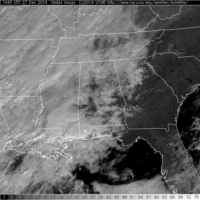
The satellite image of the Southeast US seen below shows a few breaks in the clouds in-between the two rounds of wet weather. If you are fortunate, you might get a pretty nice peek at the sun, but much of the next three days will be cloudy. Remember, too, there is a flash flood watch in effect for much of the western two-thirds of Central Alabama. The watch is in effect until late Sunday night.
-Brian-
Category: Alabama's Weather
About the Author (Author Profile)
Brian Peters is one of the television meteorologists at ABC3340 in Birmingham and a retired NWS Warning Coordination Meteorologist. He handles the weekend Weather Xtreme Videos and forecast discussion and is the Webmaster for the popular WeatherBrains podcast.Subscribe
If you enjoyed this article, subscribe to receive more just like it.


