Brighter/Warmer Days Ahead
An all new edition of the ABC 33/40 Weather Xtreme video is available in the player on the right sidebar of the blog. You can subscribe to the Weather Xtreme video on iTunes by clicking here.
IMPROVING WEATHER: Light rain, sleet, and snow is ending across Alabama this afternoon; as expected this was not a high impact event, there have been no travel issues across North/Central Alabama. The sky will clear tonight as drier air moves into the state.
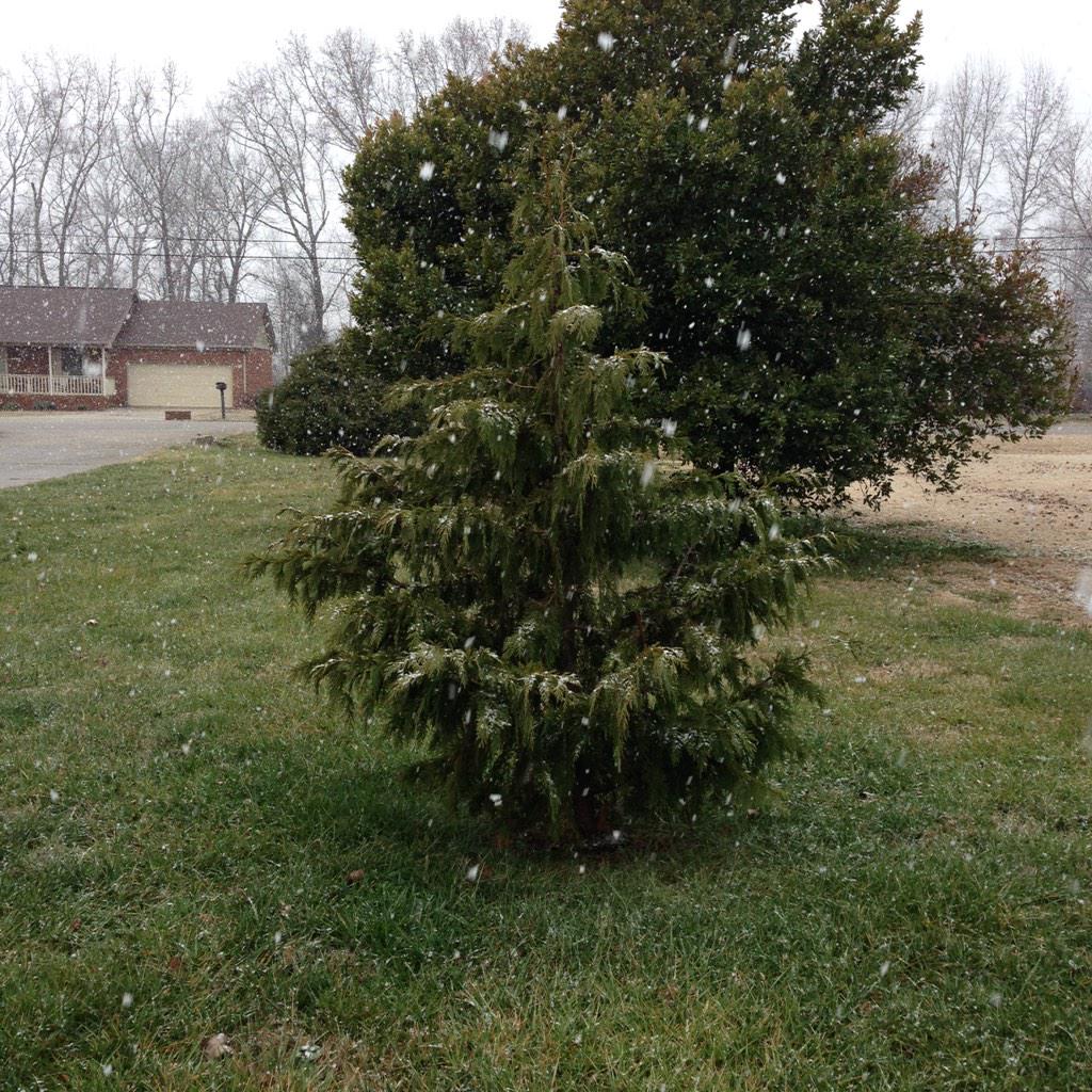
The image below is from Hazel Green, north of Huntsville, where a few big snow flakes were coming down this afternoon. Photo from @shannong63…
Tomorrow, the sun returns in full force. We start the day with temperatures in the mid to upper 20s, but rise into the low 50s by afternoon. Good luck finding your sunglasses.
THE ALABAMA WEEKEND: Saturday should be the most pleasant day so far in 2015, with ample sunshine and a high around 60 degrees. Then, on Sunday, a deep upper trough will bring just a few scattered clouds, and the high will drop back into the 50-55 degree range with a cool north breeze.
NEXT WEEK: For now the first half of the week looks dry; expect highs in the 50s and lows mostly in the 30s Monday through Wednesday, right at seasonal averages. A disturbance will bring a chance of rain toward the end of the week; the 12Z GFS shows a quick hitting shot of rain for the southern half of the state Thursday night, with some outside risk of a little snow on the northern periphery of the precipitation shield. Just too early to be specific for now; see the Weather Xtreme video for the maps, graphics, and more details.
WEATHER BRAINS: Don’t forget you can listen to our weekly 90 minute netcast anytime on the web, or on iTunes. This is the show all about weather featuring many familiar voices, including our meteorologists here at ABC 33/40.
CONNECT: You can find me on all of the major social networks…
Facebook
Twitter
Google Plus
Instagram
Look for the next Weather Xtreme video here by 7:00 a.m. tomorrow…
Category: Alabama's Weather
About the Author (Author Profile)
James Spann is one of the most recognized and trusted television meteorologists in the industry. He holds the AMS CCM designation and television seals from the AMS and NWA. He is a past winner of the Broadcast Meteorologist of the Year from both professional organizations.Subscribe
If you enjoyed this article, subscribe to receive more just like it.


