Rain, Colder Temps On The Way
An all new edition of the ABC 33/40 Weather Xtreme video is available in the player on the right sidebar of the blog. You can subscribe to the Weather Xtreme video on iTunes by clicking here.
CLOUDS RETURN TONIGHT: Another delightful mid-winter day for Alabama with ample sunshine and temperatures mostly in the low 60s this afternoon. Montgomery soared to 70 degrees at 2:00p CT.
TO THE WEST: A major storm system over the Southwest U.S. will bring snow to parts of New Mexico, the Texas Panhandle, West Oklahoma, and Southeast Colorado over the next 24 hours, and it will spread clouds into our state late tonight.
Tomorrow will be a cloudy and cooler day for our state with a high in the 50-55 degree range, and some rain could reach the southwest counties during the afternoon. The rain will spread northward tomorrow night, and much of the state should be in rain by midnight.
COLD, WET FRIDAY: Friday will feature a steady, cold rain with temperatures in the 40s all day. Rain amounts for North/Central Alabama will approach one inch, with potential for two inches over the southern counties of the state. No thunder, no severe weather, no flooding, no ice, no snow… just a rainy day thanks to a surface low in the northeast Gulf of Mexico.
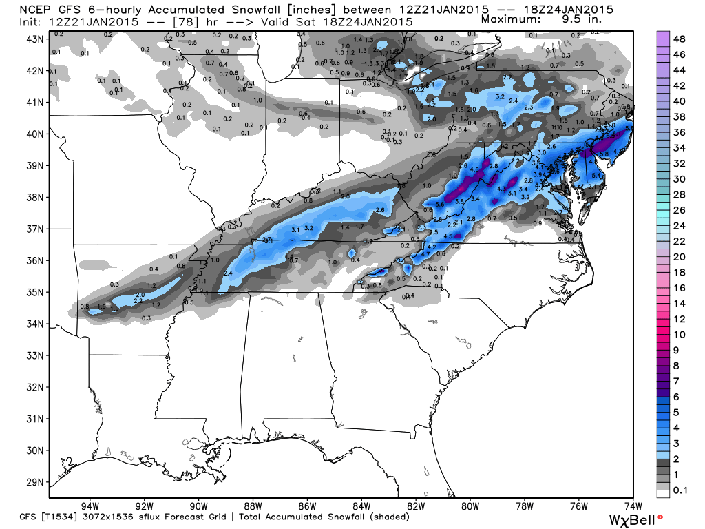
FRIDAY NIGHT: As the low moves northeast, there is a chance the rain will change to snow over Tennessee, and a few snow flakes could be seen as far south as extreme North Alabama (mainly north of the Tennessee River). If that does happen, we expect no significant impact with temperatures above freezing, and the deeper moisture off to the east.
Some accumulating snow is possible over parts of Tennessee and Kentucky late Friday and Friday night…
THE ALABAMA WEEKEND: The sky becomes partly sunny Saturday with a high in the low 50s, and Sunday looks cool and dry with a pretty good supply of sunshine and a high in the 50s.
NEXT WEEK: The 12Z GFS suggests the Alberta Clipper on Monday will produce light precipitation mainly northeast of Alabama Monday, with very little here. We will still mention some risk of “scattered light rain”… but it sure looks like many communities won’t have enough rain to measure.
Mid-week is looking cool and dry Tuesday through Thursday with highs mostly in the 50s… see the Weather Xtreme video for maps, graphics, and more long range ideas.
WEATHER BRAINS: Don’t forget you can listen to our weekly 90 minute netcast anytime on the web, or on iTunes. This is the show all about weather featuring many familiar voices, including our meteorologists here at ABC 33/40.
CONNECT: You can find me on all of the major social networks…
Facebook
Twitter
Google Plus
Instagram
I enjoyed speaking to a large group of Alabama Power retirees in Tuscaloosa today… look for the next Weather Xtreme video here by 7:00 a.m. tomorrow…
Category: Alabama's Weather
About the Author (Author Profile)
James Spann is one of the most recognized and trusted television meteorologists in the industry. He holds the AMS CCM designation and television seals from the AMS and NWA. He is a past winner of the Broadcast Meteorologist of the Year from both professional organizations.Subscribe
If you enjoyed this article, subscribe to receive more just like it.


