New model guidance in
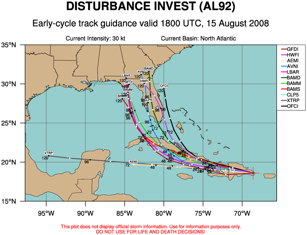
Latest guidance on Fay has shifted even further to the left. This is an intermediate run without new balloon data…we’ll see what the 00 UTC runs do about 8 or 9 pm. If the trend in the models continues, this could become a threat to the Gulf Coast, anywhere from Pascagoula to Cedar Key. No reason for panic…I think it’s safe to say that no one, including NHC, NCEP, or UAH, knows where this is going.
We (UAH) are planning a deployment if a Gulf Coast landfall occurs, with 3 instruments, including our new mobile Alabama X-band radar, the MIPS (profiles winds and temperatures up to 25,000 feet in the atmosphere), and the M3V, which records the GPS position, along with all surface measurements, every second.
Category: Uncategorized
About the Author (Author Profile)
Subscribe
If you enjoyed this article, subscribe to receive more just like it.


