Showers/storms More Numerous
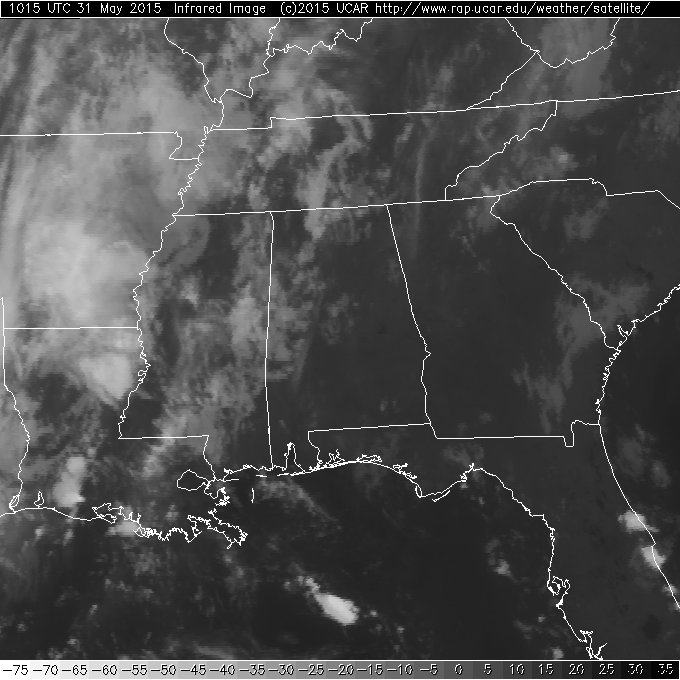
Radars across Alabama were pretty quiet this morning with just a couple of small showers in the vicinity of Huntsville in the Tennessee Valley. The upper trough to our west continued to move closer, so I expect to see an uptick in the number and coverage of showers and storms today and Monday, perhaps into Tuesday, too. Clouds will keep temperatures from getting too warm with highs mainly in the lower 80s.
Models have taken a turn this morning with the upper trough generally sticking around for much of the week ahead as it slowly wobbles and meanders across the Lower Mississippi River Valley and even moves further southward. If this change verifies, we can expect to see a fairly good chance for showers just about everyday through the end of the week. This does represent a change from the motion of the trough yesterday which is now becoming detached from the westerly flow along the US-Canadian border. See the video for the graphics and details on this motion.
SPC has Alabama in a marginal outlook area, so while I do not expect to see a lot of severe storms, we could see a couple of storms go marginally severe in the warm and moist air mass in place across the Southeast US much like we saw just west of us yesterday afternoon.
The GFS continues to show some enhancement to showers across Cuba and extreme South Florida at the end of the week, however, the GFS is not nearly as bullish with this feature as it was yesterday and the ECMWF seems to agree with this not being much of a concern.
The Atlantic Hurricane Season begins Monday and the basin still looks quiet for now. In the eastern Pacific, Hurricane Andres continues to intensify with wind of 105 mph, which makes Andres a high end category 2 storm. Thankfully, Andres will continue to track west and dissipate without an impact land.
The weather along the northern Gulf Coast today and into the week ahead looks pretty good, but beach goers will have to contend with passing showers from time to time. Even with the showers, there should be good intervals of sunshine with temperatures mainly in the lower to middle 80s each afternoon. Water temperatures this morning at the Dauphin Island Sea Lab was 80.6 degrees.
Looking out into voodoo country, and remember we look mostly for trends and not real specifics, the GFS continues to suggest a trough over the eastern portion of the US which will keep us somewhat wet and limit any potential for extreme heat.
James Spann will have the next edition of the Weather Xtreme Video here on Monday morning. Check back often for updates on our evolving weather.
-Brian-
Category: Alabama's Weather
About the Author (Author Profile)
Brian Peters is one of the television meteorologists at ABC3340 in Birmingham and a retired NWS Warning Coordination Meteorologist. He handles the weekend Weather Xtreme Videos and forecast discussion and is the Webmaster for the popular WeatherBrains podcast.Subscribe
If you enjoyed this article, subscribe to receive more just like it.


