

More Rain Coming Our Way

Don’t forget! You needed to set your clocks back one hour as we go off of Daylight Saving Time. That also means that we are now 6 hours different from Greenwich, England, when referencing Greenwich Mean Time (GMT or Z). I will probably mess that up for at least a month! And we start with an update on Typhoon Chapala which has been setting records on the other side of the world.

If you don’t want rain, don’t look at the radar. Rain spread over nearly all of Alabama yesterday afternoon, but we had a little break in the rain overnight. My rain gauge caught 1.77 inches of rain which gave me a total for October of 3.86 inches. The rainfall for October 31st was 45 percent of my entire monthly total! Rainfall estimation by the Doppler radar network showed a band of rainfall amounts of 1.5 to 2.5 inches running southwest to northeast from Meridian, MS, to Montevallo to just southwest of Anniston and Oxford.
Radar showed rain spreading into Alabama once again this morning as the upper low was spinning slowly over Texas and the surface low remained near the Louisiana/Texas line on the Gulf Coast. So we are in for another wet day across Alabama that will continue into Monday. Fortunately, by Monday afternoon rain should be ending from the west while clouds stick around. This will result in a heavy rain band of 3 to 5 inches running from about Mobile in Southwest Alabama northeastward to western North Carolina. See the video for the details on the graphic.

Wet at the beach, too, with showers and thunderstorms once again in the forecast today and into early Monday. The rain and storms will taper off Monday with terrific weather returning to the Gulf Coast for the rest of the week. Highs will be around 80 and lows in the mid 60s. See the complete Gulf Coast 7 Day Planner here. The Gulf Coast Beach Forecast is presented by Gulf Shores Plantation by Mandoki Hospitality Vacation Rentals. Escape to Gulf Shores Plantation where memories last a lifetime.
The upper low over Texas this morning will eject out to the east and northeast as an open wave into Monday and Tuesday. As this trough of lowered pressure moves away, it will be replaced with an upper ridge that will become the primary feature for our weather pattern from late Tuesday into the end of the week. However, the ridge will keep us in a southwesterly flow aloft which will continue to keep clouds in our sky for much of the coming week, but there should be sun at times. By Friday, we’re going to have to begin watching another trough coming out of the Rockies with a surface front stretching from the eastern Great Lakes to Southeast Texas. This will mean showers will once again be in our forecast with shower chances continuing into Saturday.
The upper trough is embedded in the strong westerlies, so it should move by fairly briskly with improving weather for Alabama on Sunday as a surface high pressure system centered over Illinois brings some drier air into the Southeast US. This should spell a cool down for us, too, with highs next weekend in the 60s and lows in the 40s – excellent Fall weather!
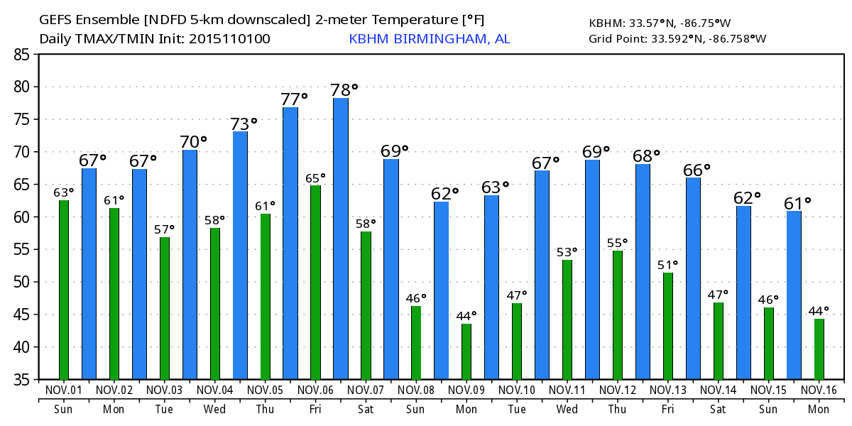
There is not much change in the anticipated weather patterns into week 2 or voodoo country. It still appears likely we will see pretty good chance of rain and thunderstorms around November 11th/12th as a strong short wave moves across the Mississippi River. That one zips out of here, but is followed around the 15th/16th with another strong trough that on this run appears to be a bit further north. This is out near the end of voodoo country, so there will be no surprise if this changes – maybe several times – before we actually get there.
Want to read an interesting article on five myths about meteorologists? Just click here.
It was great to watch the FSU Seminoles come back from the dead late in the first quarter leading to a nice win over Syracuse. And what a disappointing loss Auburn saw at the hands of Ole Miss. It was a great game to watch, but I would have liked to see a different outcome. James Spann will have the next edition of the Weather Xtreme Video first thing on Monday morning. Don’t forget those clocks! Have a great day and Godspeed.
-Brian-
Category: Alabama's Weather
About the Author (Author Profile)
Brian Peters is one of the television meteorologists at ABC3340 in Birmingham and a retired NWS Warning Coordination Meteorologist. He handles the weekend Weather Xtreme Videos and forecast discussion and is the Webmaster for the popular WeatherBrains podcast.Subscribe
If you enjoyed this article, subscribe to receive more just like it.


