

Dry This Week With Mild Afternoons
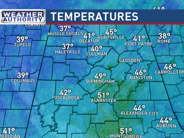
CALM DECEMBER WEATHER PATTERN: We are starting the day with a fairly wide temperature spread across the state; 30s across Northwest Alabama, upper 40s to the southeast…
We project a high today between 62 and 66 degrees with a partly sunny sky; the average high for Birmingham for December 7 is 58.
Tonight will be clear and chilly; the low early tomorrow will be somewhere between 37 and 40 degrees for most spots.
TOMORROW THROUGH FRIDAY: Dry weather continues for the rest of the week; partly to mostly sunny days and fair nights. We project a high in the mid 60s tomorrow and Wednesday, upper 60s Thursday, and low 70s Friday. We note the record high for Birmingham Friday (December 11) is 76 set in 1931… we won’t break it, but we will be within 5 degrees or so.
SATURDAY: Another warm December day; the GFS is printing a high of 71 degrees for Birmingham with a mix of sun and clouds. No signifiant risk of rain, although moisture levels will begin to rise.
STRONG STORMS SUNDAY/MONDAY? Keep in mind this is the core of the late fall tornado season in Alabama. We have been blessed with very quiet weather so far, but potential exists for a round of strong thunderstorms as the weekend ends.
As you might expect 6-7 days in advance, there are model differences. The European model (ECMWF), which has performed well in the medium range this year, shows a deepening surface low moving from near Little Rock to Chicago Sunday, with potential for a line of strong, perhaps severe storms along the trailing cold front.

The primary limiting factor for severe weather is the lack of surface instability. Seems like the main window for strong storms will come from about 9:00 p.m. Sunday through 6:00 a.m. Monday. The core threat will be from strong winds along the squall line.
Of course, this could change a good bit in coming days, so keep up with the latest blog posts and forecasts. Drier, cooler weather returns to the state next week; looks like temperatures will go below average next week, but nothing brutally cold for December.

AT THE BEACH: Dry weather this week from Gulf Shores over to Panama City Beach, with mostly sunny days and fair nights. Highs will be in the 60s through Wednesday, with low 70s Thursday and Friday. Next good chance of rain will come late in the weekend… See the complete Gulf Coast 7 Day Planner here. The Gulf Coast Beach Forecast is presented by Gulf Shores Plantation by Mandoki Hospitality Vacation Rentals. Escape to Gulf Shores Plantation where memories last a lifetime.
WEATHER BRAINS: Don’t forget you can listen to our weekly 90 minute netcast anytime on the web, or on iTunes. This is the show all about weather featuring many familiar voices, including our meteorologists here at ABC 33/40. We will produce this week’s show tonight at 8:30 CT… you can watch it on the web here.
CONNECT: You can find me on all of the major social networks…
Facebook
Twitter
Google Plus
Instagram
I will be doing a weather program this morning at Southside Elementary in Etowah County… look for the next Weather Xtreme video here by 4:00 this afternoon. Enjoy the day!
Category: Alabama's Weather
About the Author (Author Profile)
James Spann is one of the most recognized and trusted television meteorologists in the industry. He holds the AMS CCM designation and television seals from the AMS and NWA. He is a past winner of the Broadcast Meteorologist of the Year from both professional organizations.Subscribe
If you enjoyed this article, subscribe to receive more just like it.


