Sunny and Cool
It is a sunny but cool day across Central Alabama as drier, colder air filters into the area on the backside of a departing low pressure system that is east of Jacksonville, Florida this afternoon.
The system produced severe weather across South Florida that produced fatalities and injuries near Sarasota.
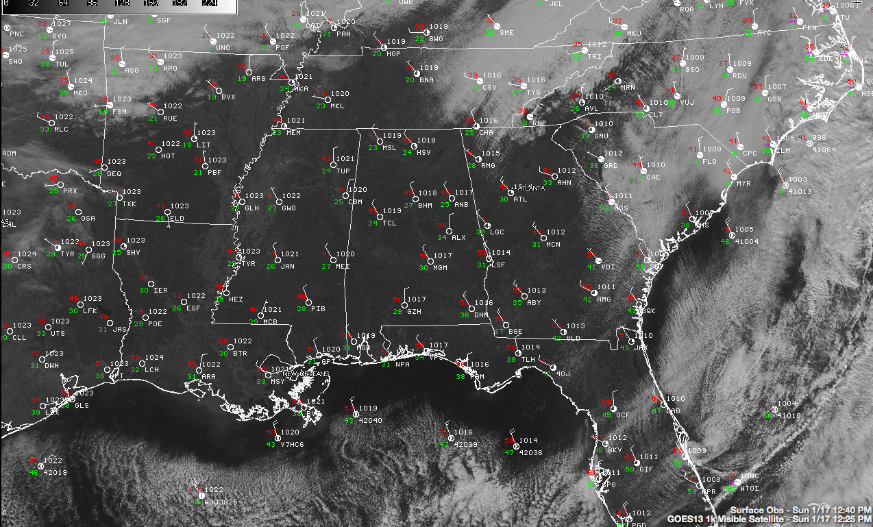
Visible satellite imagery shows completely clear skies across the state at this hour. Temperatures are in the middle 40s.
Lows tonight will be in the middle and upper 20s under partly cloudy skies.
The arctic front will arrive overnight tonight and set the stage for a very cold day tomorrow. A few clouds may be associated with the front, and can’t rule out a few snowflakes, but no problems will result. The northern half of the state will stay in the 30s all day. Some spots in the Tennessee Valley may not get above freezing all day.
Tuesday morning will be the coldest morning of the bunch, with lows in the teens to lower 20s.
Rain will return Wednesday, but temperatures should be above freezing before it arrives. Wednesday will be rainy, with amounts generally less than one half inch. Another system will bring heavier rainfall amounts on Thursday, generally over an inch. Can’t rule out some light snow or snow flurries on the back side of that system, but it is too early to be certain of that.
Category: Alabama's Weather
About the Author (Author Profile)
Bill Murray is the President of The Weather Factory. He is the site's official weather historian and a weekend forecaster. He also anchors the site's severe weather coverage. Bill Murray is the proud holder of National Weather Association Digital Seal #0001 @wxhistorianSubscribe
If you enjoyed this article, subscribe to receive more just like it.


