

Another Gorgeous Late Winter Day
Central Alabama will once again bask in the beauty of another gorgeous late winter day, similar to yesterday but even warmer. The surface high pressure center was slowly migrating east along the Gulf Coast and together with the upper ridge over the eastern US will give Central Alabama and much of the Southeast US a beautiful day as highs temperatures climb well into the 60s after lows in the 30s.
The surface high moves into the Atlantic Monday while in the upper atmosphere a fast moving trough well north of us will drag a weak front into the Southeast US. We’ll see highs in the 60s once again, but the question will be just how much if any shower action we can get with the dying front. I think most of stay dry. Precipitable water values stay pretty low with values below about an inch and a quarter, so any showers that do occur shouldn’t produce much rain.
Tuesday will be a mostly cloudy day as Alabamians head to the poll for the primary election. We should remain dry for much of the day until evening. A strong short wave trough will approach the Lower Mississippi River Valley from the Central Rockies on Tuesday afternoon with a surface low expected to form over the Texas Panhandle and move northeast to near St. Louis by midday Tuesday. A cold front will trail southwestward into East Texas. Showers and thunderstorms are forecast to develop along the front, and the SPC has a broad band of marginal severe weather risk from the Texas Gulf Coast to Kentucky including the northwest corner of Alabama.
There is still a great deal of model uncertainty with this system as the European continues to be faster and stronger in its solution than what the GFS is. I am siding with the GFS for now since the Euro seems to be an outlier with its faster motion. Storms may be strong, and the risk of severe thunderstorms appears to be low as expressed by the current data. The CAPE is marginal and develops only in a very narrow band ahead of the front. As noted yesterday, the GFS MOS guidance for Birmingham continued to show dew points only reaching the lower 50s at best, and even at Mobile, MOS values for dew points only reach the middle 50s. So while the overall positioning and strength of this system appears favorable for some severe weather risk, it does not appear likely that the atmosphere will recover enough for any kind of significant severe weather episode. When you factor in the model differences contributing to lowered confidence, this truly bears the notation of “stay tuned.”
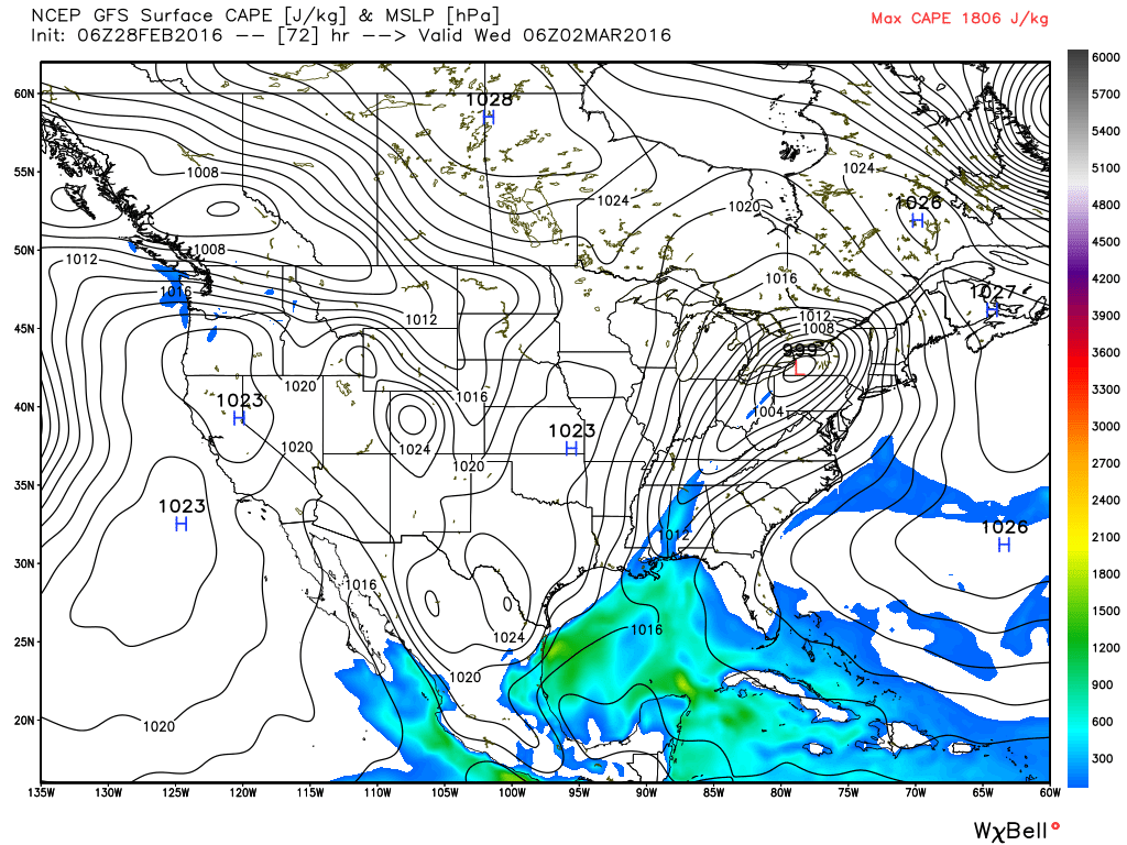
The upper trough sweeps by on Wednesday as the front moves off the Southeast US coast. Wednesday is likely to be one of those days where the temperatures do not act in the typical diurnal pattern we expect to see. Central Alabama is likely to see temperatures in the 50s early Wednesday morning with temperatures steady or falling slowly for much of the day. Sort of a raw day, but not as raw as when the temperatures are falling through the 40s.
But there is little time to rest in the weather office as another fairly substantial short wave trough approaches the Lower Mississippi River Valley on Thursday. This trough is forecast to dig into the Southeast US on Friday as it also weakens. The GFS generates a surface low Thursday in Texas but weakens it as it moves into the northeast Gulf Coast area. This means there will be some risk of showers during the latter half of Thursday and into the first part of Friday, but chances will be low and many of us won’t see any rain. After that coolish Wednesday, temperatures should recover very quickly with highs Thursday and Friday reaching back up into the 60s.
This paves the way for another great weekend for Central Alabama with weak ridging aloft and surface high pressure once again along the Gulf Coast. Saturday and Sunday are expected to see lows in the lower half of the 40s with highs well into the 60s.
Looking out into voodoo country, the GFS paints a substantial ridge over the eastern half of the country which will bring some very warm, Spring-like weather to the Southeast US. But a strong trough is forecast to come out of the Southwest US on March 10th, and this upper air pattern certainly favors a potential severe weather episode. And the GFS is sticking with the idea of a very progressive flow across the US with another upper closed low/trough around the 12th of March and another around the 14th of March. While it is entirely too early to make any specific predictions, it is worth noting that the patterns are suggestive of at least some severe weather potential. This is also the week we begin our weather tour with spotter training at Jacksonville Community Center (see the graphic below).
Thanks for staying plugged into the Alabama weather scene through the blog. James Spann will have the next edition of the Weather Xtreme Video on Monday morning. Please be sure to exercise your rights as a citizen of the US and take time to vote in our primary election on Tuesday, March 1st. Your vote counts, so get out and VOTE!!
-Brian-

Category: Alabama's Weather
About the Author (Author Profile)
Brian Peters is one of the television meteorologists at ABC3340 in Birmingham and a retired NWS Warning Coordination Meteorologist. He handles the weekend Weather Xtreme Videos and forecast discussion and is the Webmaster for the popular WeatherBrains podcast.Subscribe
If you enjoyed this article, subscribe to receive more just like it.


