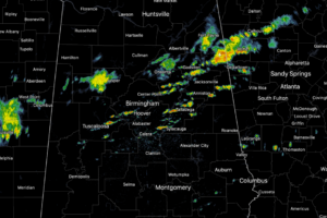
Midday Nowcast: Some Showers and Storms Ahead of Front Dropping South
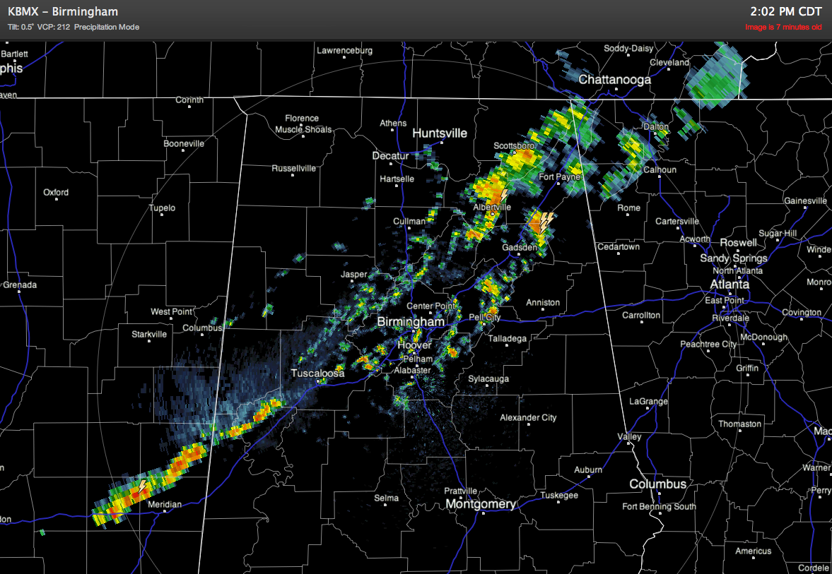
A cold front is pushing through the state currently, and along the front we are seeing showers and storms develop along the front moves through.

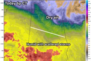
ON THE MAPS: A rare August surface front is over North Alabama this morning; the dew point has dropped to a pleasant 63 degrees at Muscle Shoals, and north of the front most places are seeing temperatures in the 60s. South of the front, the weather is still humid with 70s. Unfortunately, the front has […]

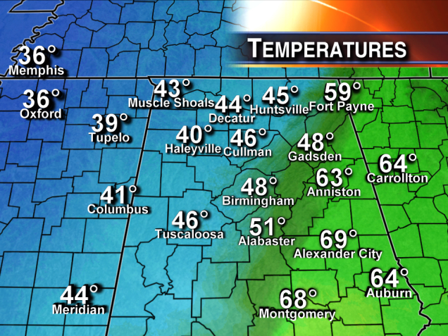
How about that twenty degree difference on either side of the cold front… which is now east of Birmingham! Scroll down for the morning forecast discussion…

An all new edition of the ABC 33/40 Weather Xtreme video is available in the player on the right sidebar of the blog. You can subscribe to the Weather Xtreme video on iTunes by clicking here. THIS AFTERNOON: A well defined surface front is across North-Central Alabama at mid-afternoon. At 3:00, Haleyville in Winston County […]

Showers are lined up along a cold front just northwest of Birmingham at mid-afternoon… There is a 23 degree swing on either side of the front; 2:00 temperatures range from 66 at Haleyville to 89 at Montgomery. I do not expect any severe weather issues… in fact there is not much lightning now. A full […]

An all new edition of the ABC 33/40 Weather Xtreme video is available in the player on the right sidebar of the blog. You can subscribe to the Weather Xtreme video on iTunes by clicking here. TODAY: Alabama’s weather today looks relatively benign; while there is always the risk of a shower or thunderstorm on […]
Notifications