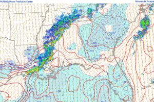
A Look At The Current Severe Weather Parameters In Place
Here is a look at the current severe weather parameters across Alabama early this morning.
Jack is a junior at Mississippi State University studying meteorology. He has several years of forecasting experience through a local group of forecasters in Maryland where he resides. Jack plans to become a broadcast meteorologist after graduation.

Here is a look at the current severe weather parameters across Alabama early this morning.
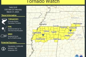
A tornado watch has been issued for several north and northwest Alabama counties Through early Monday Morning.
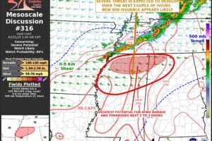
Tornado watch coming soon for parts of northern and western Alabama
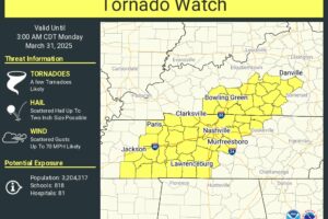
Tornado watch in effect for parts of Central Tennessee, with other watches likely for Alabama later tonight.
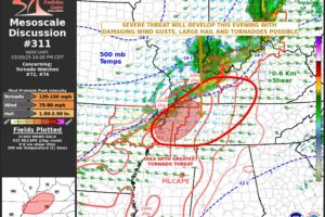
No watches planned for Alabama yet, but a tornado watch will likely be issued late tonight for much of northern Alabama
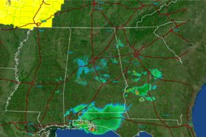
Alabama radar is quieting down, severe storms already blossoming to our northwest
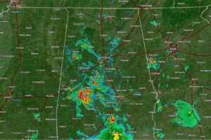
Strong storms are impacting parts of central Alabama this afternoon. Here’s the latest radar update
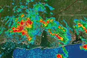
Strong storms with heavy rain and a lot of lightning moving into Mobile county this morning.
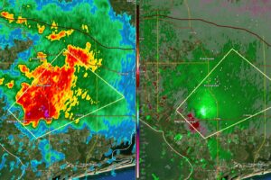
A severe thunderstorm warning has been issued for portions of Baldwin county until 10:15am for a thunderstorm located near Foley
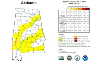
The weekly drought update is out, and there was very little change since last weeks update.
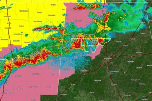
Strong to severe storms continue over portions of west central Alabama tonight
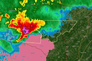
Southern Cullman county now included in a severe thunderstorm warning, mainly for large hail.
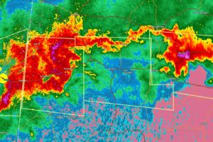
A severe thunderstorm will move into southern Marion and Northern Fayette counties with large hail and damaging wind gusts
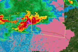
Large hail likely to continue eastward into Walker and Winston Counties
 Our long time friend, mentor, and charter Weather Factory member, J.B. Elliott, passed away on May 11, 2015. Click HERE to read James' tribute.
Notifications

