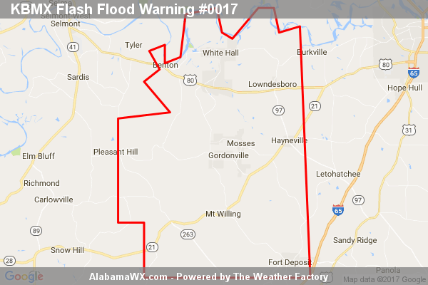
Flash Flood Warning Issued For Parts Of Lowndes County Until 10:30AM
At 4:31 AM CDT, Doppler radar indicated heavy rain across the warned area.

At 4:31 AM CDT, Doppler radar indicated heavy rain across the warned area.
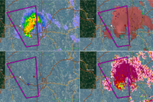
A tornado has been reported in Covington County west of Opp. It is moving north at 30 mph.
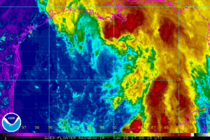
For the past few hours, Cindy has nearly been stationary, but a slow progression to the northwest should start back up later this evening, and then a turn to the north-northwest to the north is expected on Wednesday night and into Thursday morning. The center is expected to move onshore over the southeastern Texas coastline on Thursday.
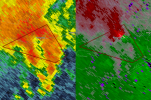
One of the feeder bands spawned off of Potential Tropical Cyclone Three is currently affecting the Florida Panhandle, and a possible tornado has formed near Apalachicola and is moving to the northeast. Here is the warning text from NWS Tallahassee…
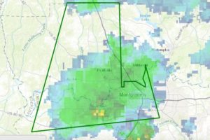
An Areal Flood Warning is in effect until 2:30 p.m. for Montgomery and areas to the North and West where 3-6 inches of rain has fallen today so far. Several roads are flooded and low lying areas inundated.
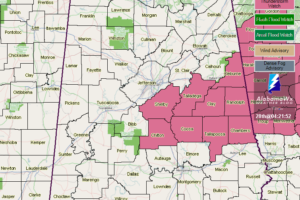
A Severe Thunderstorm Watch is in effect now until 10:00AM CDT for parts of Central Alabama.
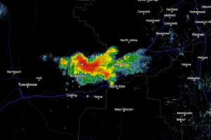
At 5:06 PM CDT, Doppler radar was tracking a strong thunderstorm near Brookwood, or 12 miles east of Holt, moving north at 25 mph. Pea size hail and winds in excess of 40 mph will be possible with this storm.
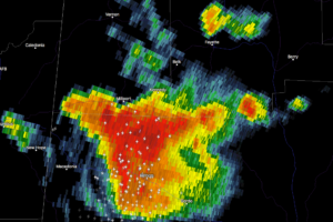
At 5:03 PM CDT, Doppler radar was tracking a strong thunderstorm over Kennedy, or near Millport, moving north at 35 mph. Pea size hail and winds in excess of 40 mph will be possible with this storm.
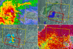
At 549 PM CDT, a severe thunderstorm capable of producing a tornado was located near Sardis, or 8 miles west of Cullman, moving east at 35 mph.
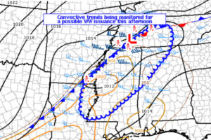
Damaging wind gusts and hail approaching 1″ in diameter are all possible with storms developing across the region this afternoon. A watch issuance is being considered for portions of Alabama. Probability of Watch Issuance…40 percent.
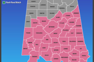
A Severe Thunderstorm Watch continues until 8:00 AM for parts of Central Alabama.
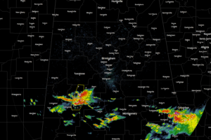
The warm front continues to race to the north through the southern parts of Central Alabama, and along that front, thunderstorms have developed and a few have been strong to severe in natures.

A new tornado watch may be forthcoming soon for parts of Central and South Alabama.
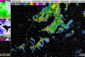
Strong to severe storms continue across Alabama at this hour, with more storms intensifying over Mississippi.
Notifications