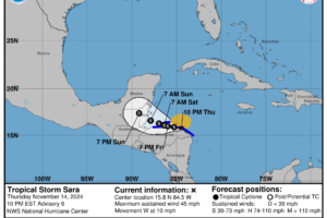
Sara Slightly Stronger as of the 9pm CT Advisory
Sara makes her first landfall in Honduras with sustained winds of 45mph, slightly stronger than the previous advisory.

Sara makes her first landfall in Honduras with sustained winds of 45mph, slightly stronger than the previous advisory.
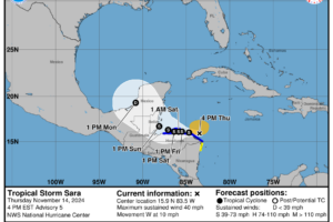
Sara maintains low end tropical storm status. Trends improving for lower intensity and less impacts to the eastern Gulf Coast states.
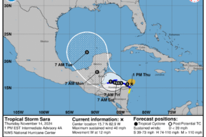
Tropical Storm Sara has now formed in the Caribbean. Here are the latest details.
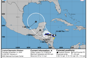
Here is the latest information on Tropical Depression 19.
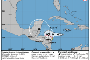
Potential Tropical Cyclone 19 develops in the western Caribbean Sea.
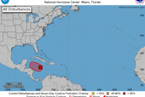
Tropical storm Sara likely to form in the next day or 2. NHC giving a 90% chance of development within the next 48 hours.
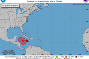
High likelihood of tropical development later this week. Next name on the list is Sara.
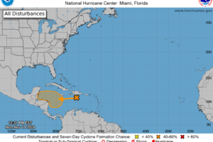
Monitoring a new area of interest for possible development later this week south of Hispaniola.
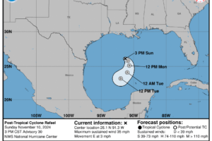
Rafael degrades to a remnant low pressure system.
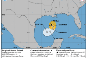
Rafael barely hanging on to tropical storm status, expected to become a depression this afternoon.
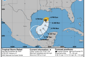
Rafael weakens to a low end tropical storm, and is expected to make a sharp turn towards the south on Sunday with continued weakening likely.
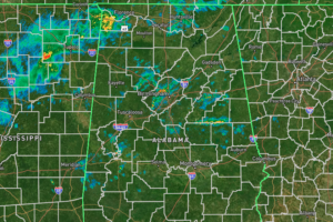
Showers are currently moving through Jefferson County and approaching the downtown Birmingham area. Umbrellas will be needed very shortly down at Protective Life Stadium for the UAB game.
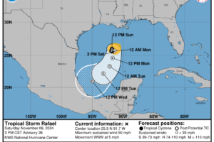
Rafael continues to look degraded, but maintains its 50mph tropical storm intensity as of the latest NHC advisory.
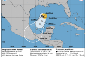
Rafael continues weakening in the central Gulf, with a sharp south turn expected tomorrow.
 Our long time friend, mentor, and charter Weather Factory member, J.B. Elliott, passed away on May 11, 2015. Click HERE to read James' tribute.
Notifications

