Alabama 811 | Know What's Below.

Archive for January, 2012

Afternoon Update

Afternoon Update

| January 28, 2012 @ 1:41 pm

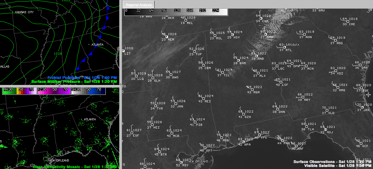
A cold front quickly moved through Central Alabama today like a hot knife through butter. Brisk northwesterly winds are pulling in dry and cooler air behind the front. A few stratocumulus clouds are filling in behind the front in the I-59 corridor. Temperatures are near 60F. A few high clouds were across northern Louisiana, Mississippi […]

Read More

Brutal Cold Invades Alaska

Brutal Cold Invades Alaska

| January 28, 2012 @ 11:31 am

Just because we have enjoyed a mild winter, it doesn’t mean other parts of the world are as lucky. I guarantee you, when you find warm winter weather in places, you will find brutal cold in others. This is from Kristie Calvin, who moved from Alabama to North Pole, Alaska a couple of years ago…. […]

Read More

Hackleburg April 27, 2011 EF-5

Hackleburg April 27, 2011 EF-5

| January 28, 2012 @ 10:40 am

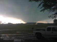
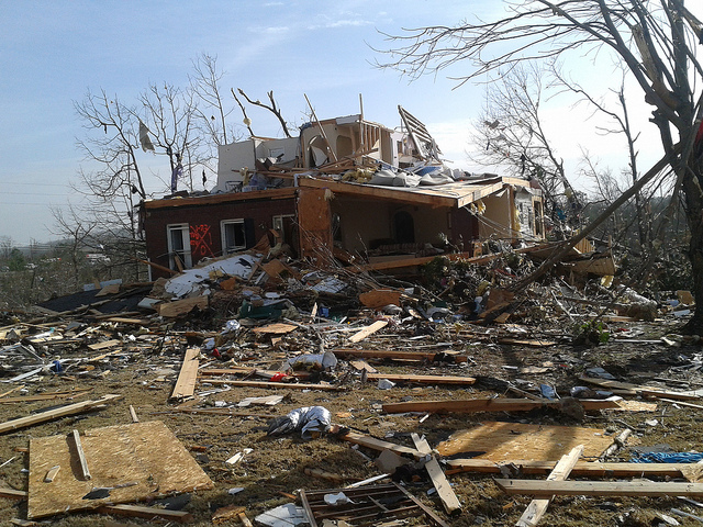
We have seen few images of this large, killer tornado. But, Rachel Hillis has uncovered some new ones. See her note, and the images below…. “Hi James… My name is Rachel Hillis and I live in Florence. I’ve traveled through Hackleburg going to see family in Winfield for many years. I saw Phil Campbell immediately […]

Read More

Dry and Cool for a Few Days

Dry and Cool for a Few Days

| January 28, 2012 @ 7:23 am

The latest edition of the ABC 33/40 Weather Xtreme Video is available in the player below. You can subscribe to the Weather Xtreme Video on iTunes by clicking here. It’s going to be nice to have several dry days along with some chillier air. But in true Southeast US fashion, the colder air won’t be […]

Read More

Storm Alert Tour Set

Storm Alert Tour Set

| January 27, 2012 @ 4:44 pm

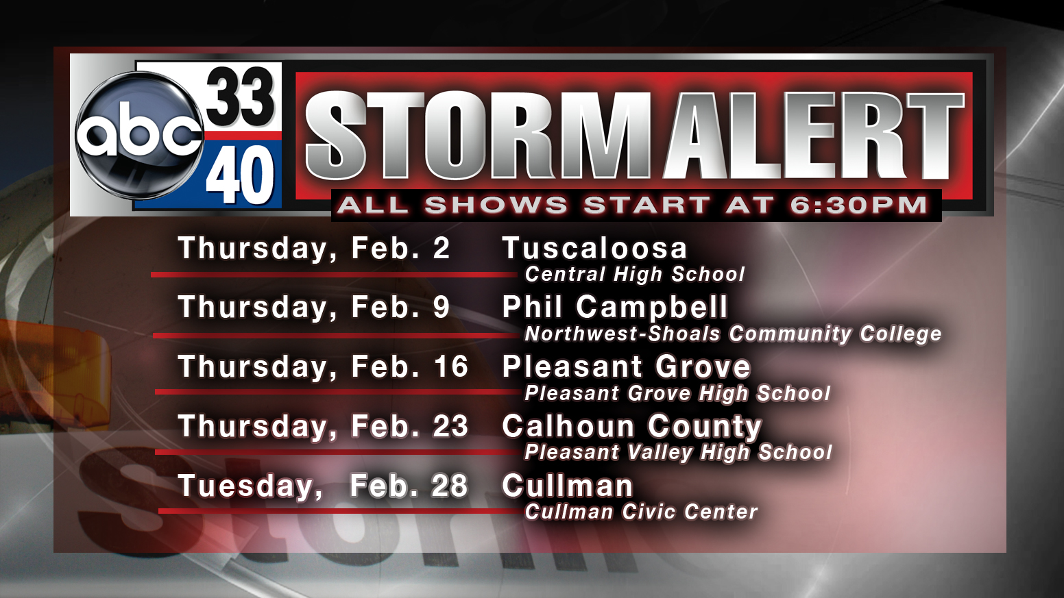
This will be the 14th year of our annual severe weather awareness tour across the state. We kick it off next Thursday at Central High School in Tuscaloosa. Needless to say, this will be a very emotional and powerful show this year as we look back on the generational tornado outbreak of April 27, 2011. […]

Read More

Cool, Dry Weekend Ahead

Cool, Dry Weekend Ahead

| January 27, 2012 @ 3:22 pm

An all new edition of the ABC 33/40 Weather Xtreme video is available in the player on the right sidebar of the blog. You can subscribe to the Weather Xtreme video on iTunes by clicking here. THIS AFTERNOON: It is a day of blue sky and sunshine for Alabama. Temperatures are in the 50s at […]

Read More

A Big Alabama Rain Event

A Big Alabama Rain Event

| January 27, 2012 @ 12:31 pm

Naturally, tornado damage is still the number one concern across Alabama. But the state also received a widespread drenching from numerous showers and thunderstorms. This list is for the 24 hours ending at approximately 6 am, CST today. These reports are from ABC 33/40 Skywatchers and official reports from the NWS stations. 1.19 Huntsville 1.24 […]

Read More

Cooler, Calm Days

Cooler, Calm Days

| January 27, 2012 @ 6:03 am

An all new edition of the ABC 33/40 Weather Xtreme video is available in the player on the right sidebar of the blog. You can subscribe to the Weather Xtreme video on iTunes by clicking here. DRY AIR MOVING IN: While clouds linger across our state this morning, we expect the sky to become mostly […]

Read More

ABC 33/40 Skywatcher Takes A Direct Hit

ABC 33/40 Skywatcher Takes A Direct Hit

| January 26, 2012 @ 3:16 pm

We received this note and message from Wally Coker, a longtime ABC 33/40 Weather Watcher from Clay… “I just wanted to let you know that my home was severely damaged early Monday, and will have to be completely rebuilt. We are all alive and uninjured. Glad we have a basement, on the right front corner […]

Read More

Severe Threat Pushing East, Possible Tornado in Uniontown Earlier

Severe Threat Pushing East, Possible Tornado in Uniontown Earlier

| January 26, 2012 @ 2:43 pm

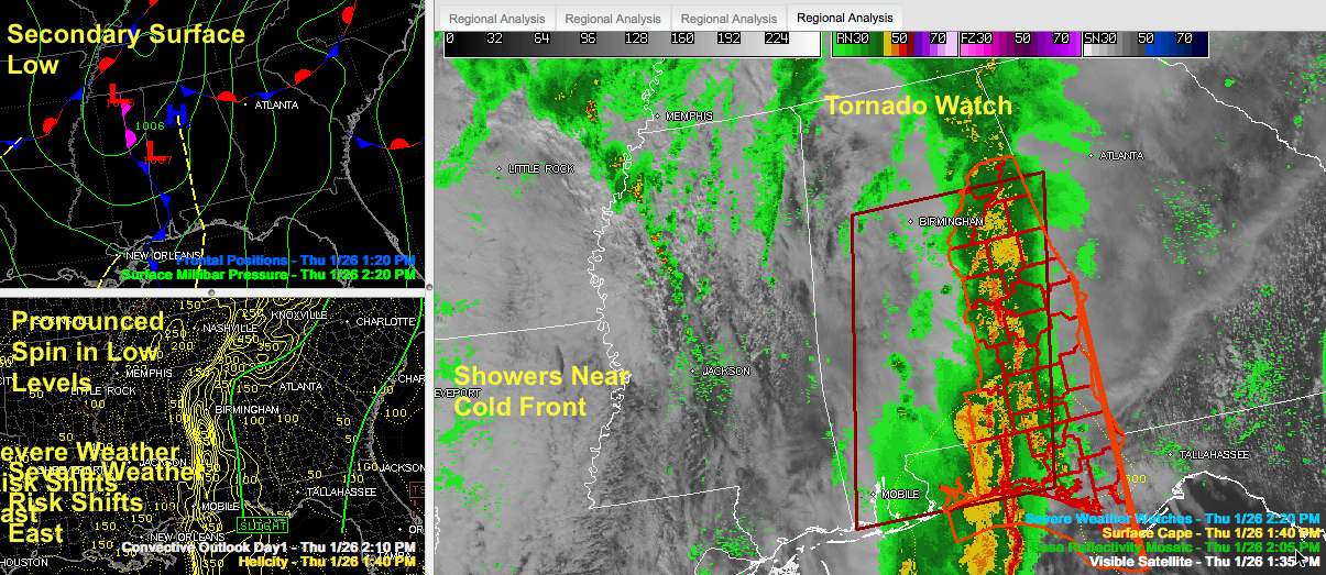
The severe weather threat continues to shift east this afternoon. The slight risk on the latest convective outlook was shifted well east of Birmingham. The NWS has canceled the tornado watch for several more counties, including Autauga, Chilton, Lowndes, Shelby and St. Clair. LATE ADDITIONAL CANCELS: Watch canceled for Calhoun, Clay, Cleburne, Coosa, Elmore, Montgomery, […]

Read More

Tornado Warning Will Be Allowed to Expire

Tornado Warning Will Be Allowed to Expire

| January 26, 2012 @ 1:16 pm

The NWS will allow the tornado warning to expire. The rotation has weakened. It is about to pass between Verbena and Clanton along I-65/US-31. Tornado watch continues until 5 p.m. for East Central and South Central Alabama, but the best threat of severe weather will mainly to the south.

Read More

Tornado on the Ground Moving into Chilton County

Tornado on the Ground Moving into Chilton County

| January 26, 2012 @ 1:07 pm

The NWS reports public report of tornado on the ground south of Billingsley a few minutes ago. Rotation now passing into Chilton County. Will pass near Verbena and Mountain Home. Folks in Marbury also need to be in their safe place. This tornado will also pass near the Lake Mitchell Dam. The storm continues to […]

Read More

Tornado Watch Trimmed A Bit More

Tornado Watch Trimmed A Bit More

| January 26, 2012 @ 1:02 pm

The NWS has canceled the tornado watch for Bibb, Dallas and Perry Counties. The tornado watch continues for Autauga, Barbour, Bullock, Calhoun, Chambers, Chilton, Clay, Cleburne, Coosa, Elmore, Lee, Lowndes, Macon, Montgomery, Pike, Randolph, Russell, Shelby, St. Clair, Talladega and Tallapoosa Counties until 5:00 PM CST

Read More

Strong Rotation in Autauga, Will Move into Clanton

Strong Rotation in Autauga, Will Move into Clanton

| January 26, 2012 @ 12:53 pm

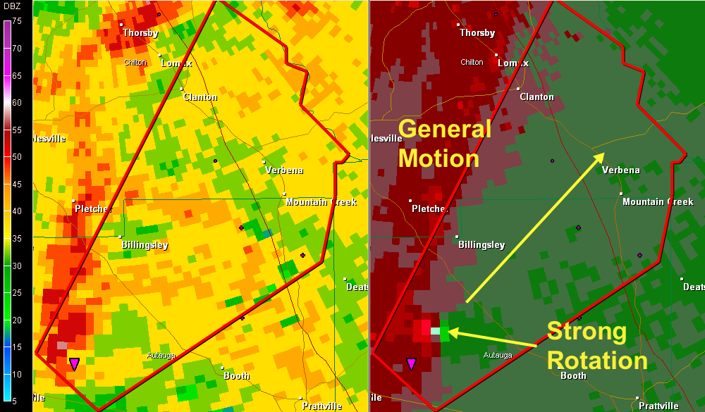
UPDATE AT 12:58 The rotation in Autauga County appears to have weakened a bit. But if your are in the warning polygon, be in your tornado safe place as the storm approaches. PREVIOUS POST Strong rotation on the storm passing over US-82 south of Bilingsley. The rotation is deep. The rotational velocity is now 87 […]

Read More