Alabama 811 | Know What's Below.

Archive for February 23rd, 2016

A Bi-Hourly Look At How Tonight’s Event May Unfold

A Bi-Hourly Look At How Tonight’s Event May Unfold

| February 23, 2016 @ 5:17 pm

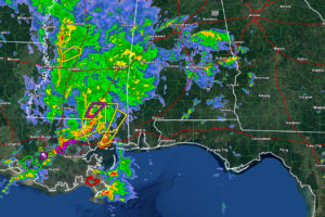
Here is a bi-hourly view of how tonight’s event will unfold using the High Resolution Rapid Refresh model. 7PM Intense storms now crossing I-59 in southern Mississippi will be into Southwest Alabama. They will intensify as they move into more unstable air over Southwest Alabama. Low level helicity will be very high, maintaining the threat […]

Read More

Small Spin Up Tornadoes Hit Reform and Ross Bridge

Small Spin Up Tornadoes Hit Reform and Ross Bridge

| February 23, 2016 @ 4:56 pm

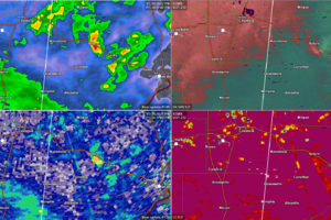
A small tornado may have touched down in Pickens County just before 4 p.m. It formed just southeast of Carrollton and moved to just southeast of Reform. There was a small velocty couplet, heavy shower and a ZDR maximum. There was a tornado debris signature at 425 p.m. Possible roof damage was reported near Reform […]

Read More

Showers and Storms Increasing Across Central Alabama

Showers and Storms Increasing Across Central Alabama

| February 23, 2016 @ 4:15 pm

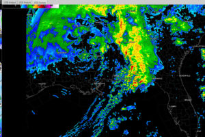
Heavy showers are increasing in the I-20 Corridor this afternoon across parts of Pickens, Sumter, Greene, Tuscaloosa and Jefferson Counties. They are also heavy across southern Talladega, Clay and Randolph Counties. All of this activity is growing upscale and will become thunderstorms soon. Lightning just started occurring with the activity in extreme eastern Tuscaloosa and […]

Read More

Severe Weather Threat Tonight

Severe Weather Threat Tonight

| February 23, 2016 @ 3:40 pm

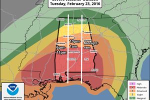
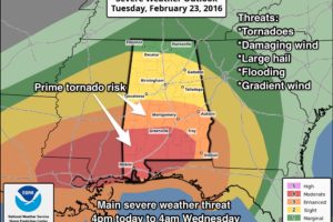
**No afternoon Weather Xtreme video today** Here are some quick notes on what to expect tonight… *The window for severe storms will open in West Alabama around 6:00 (near the Mississippi border), with the threat moving eastward through the night. *A “PDS” tornado watch (particularly dangerous situation) is in effect for Southwest Alabama through 10:00 […]

Read More

Low Pressure System Strengthening

Low Pressure System Strengthening

| February 23, 2016 @ 3:02 pm

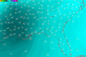
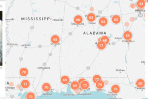
The low pressure system has moved into northern Louisiana now and is strengthening. Here is a raw surface chart. You can see the swirl in the wind barbs over eastern Texas and western Louisiana. The value in the top right quadrant of each of the station obs is the barometric pressure. It shows the last […]

Read More

PDS Tornado Watch Issued; High Risk Possible for South Alabama Soon

PDS Tornado Watch Issued; High Risk Possible for South Alabama Soon

| February 23, 2016 @ 2:21 pm

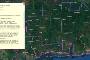
The tornado watch has just been issued for extreme Northwest Florida southern Mississippi and Southwest Alabama. No counties from the NWS Birmingham County Warning Area are in the watch…yet. The watch is a PDS watch, which is means it is a Particularly Dangerous Situation for the threat of significant, long track tornadoes. Alabama counties include: […]

Read More

PDS Tornado Watch Soon for Southwest Alabama

PDS Tornado Watch Soon for Southwest Alabama

| February 23, 2016 @ 1:49 pm

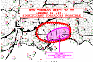
The SPC is creating a tornado watch that will be issued by 2 p.m. or so for much of southern Louisiana, southwestern Alabama and the western Florida Panhandle. There are indications that it will be a Particularly Dangerous Situation tornado watch for the potential for significant tornadoes. Severe thunderstorms are now spreading across Southeast Louisiana […]

Read More

Just Say No to BINOVC

Just Say No to BINOVC

| February 23, 2016 @ 12:13 pm

You don’t see the BINOVC (Breaks in Overcast) remark in METAR surface observations much anymore. It indicates that there are breaks in the overcast. While patches of blue sky may seem comforting on a dreary day, not when we see a severe weather threat. Breaks in the overcast mean warming sunshine that can make the […]

Read More

Funnel Cloud Reported at New Orleans Armstrong International Airport

Funnel Cloud Reported at New Orleans Armstrong International Airport

| February 23, 2016 @ 11:19 am

Here is the weather observer’s report from MSY at 11:10 a.m.: NEW ORLEANS/MOISANT,LA (MSY) ASOS reports Tornado KMSY 231710Z 04004KT 4SM FC RA BR FEW011 BKN026CB OVC075 21/19 A2968 RMK FUNNEL CLOUD B09 AO2 PRESFR SW CB W-N-E-SE MOV NE P0010 T02110189

Read More

Moderate Risk Expanded to Include Auburn; Complete Look at Alabama Weather Situation

Moderate Risk Expanded to Include Auburn; Complete Look at Alabama Weather Situation

| February 23, 2016 @ 11:04 am

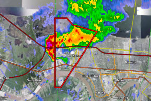
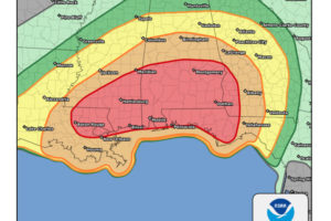
Taking a look at the Alabama Weather Situation a little after 11 a.m. The SPC has issued their new Day One Convective Outlook. The moderate risk was expanded northward just a bit, so it now includes Auburn and Eufaula. STORMS ALREADY FIRING OVER SOUTHEAST LOUISIANA A tornado warning was just issued for areas just west […]

Read More

No, the Entire State of Kentucky Wasn’t Under a Tornado Warning

No, the Entire State of Kentucky Wasn’t Under a Tornado Warning

| February 23, 2016 @ 9:46 am

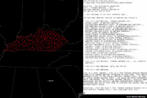
When I looked up and saw counties across the entire state of Kentucky being outlined in red a little after 9 a.m., I thought, there is no severe weather in the Bluegrass State today. Then I thought, it is probably their statewide tornado drill. That was the case. Three offices participated in the drill this […]

Read More

Severe Weather Likely Tonight

Severe Weather Likely Tonight

| February 23, 2016 @ 6:18 am

ACTIVE DAY: I encourage you to watch the Weather Xtreme video, which gives you all the maps and graphics that go along with this discussion. THIS MORNING: No severe storms; mostly cloudy and mild with a shower or two possible, but nothing really widespread or heavy. Temperatures rise through the 60s; some places could touch […]

Read More