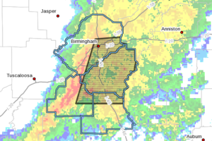
EXPIRED – Severe T-Storm Warning For Parts Of Jefferson, Shelby, Chilton, & Bibb Counties Until 8:45 AM
At 804 AM CDT, severe thunderstorms were located along a line extending from Adamsville to near Eoline, moving east at 65 mph.

At 804 AM CDT, severe thunderstorms were located along a line extending from Adamsville to near Eoline, moving east at 65 mph.
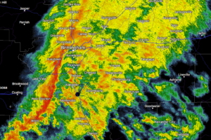
At 7:59 am, strong thunderstorms were located along a line extending from Birmingham to near Bessemer to 6 miles west of Maylene to 7 miles southeast of West Blocton to West Centreville.
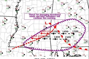
The threat for damaging downburst winds and brief tornadoes will continue across southeast MS and southern AL this morning. Trends will be monitored for possible watch issuance.
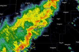
At 7:47 am, a strong thunderstorm was near Nanafalia, or 9 miles east of Butler, moving east at 50 mph. Winds in excess of 40 mph will be possible with this storm.
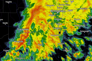
NWS Birmingham has issued a Significant Weather Advisory for portions of Tuscaloosa, Jefferson, Shelby, and Bibb counties until 8:00 am.
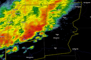
NWS Mobile has issued a Severe Thunderstorm Warning for much of Choctaw County in southwestern Alabama until 8:00 am. Damaging winds up to 60 MPH and hail up to one-inch in diameter may be possible with this storm.
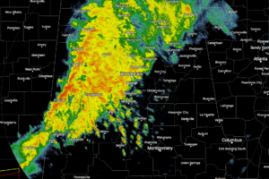
As of 6:57 am, we have a line of moderate to heavy rainfall pushing across the western parts of North/Central Alabama with lighter showers over the north and northeastern parts of the area.
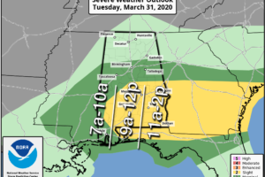
WET TUESDAY: A large mass of rain with a few elevated thunderstorms will move across the northern half of Alabama today. The air will be cool and stable with temperatures holding in the 50s most of the day, and severe storms are not expected. However, to the south, strong to severe storms are likely over South Alabama. SPC continue to define a “slight risk” (level 2/5) for most of South Alabama, east of a line from Uniontown to Bay Minette.
Notifications