Archive for March 25th, 2021

Heads Up Pell City, Chulavista, and Ragland

Heads Up Pell City, Chulavista, and Ragland

| March 25, 2021 @ 2:09 pm

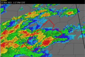
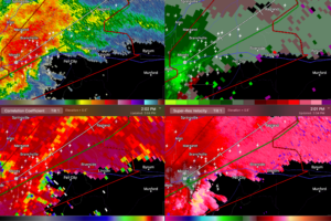
An extremely dangerous storm producing a tornado is approaching I-20 between Moody and Pell City.

Read More

Flash Flood Warning for Blount, Jefferson, & St. Clair Co. Until 6:00 pm

Flash Flood Warning for Blount, Jefferson, & St. Clair Co. Until 6:00 pm

| March 25, 2021 @ 1:59 pm

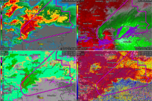
At 157 PM CDT, Doppler radar indicated thunderstorms producing heavy rain across the warned area. Between 2 and 3 inches of rain have fallen. Flash flooding is ongoing or expected to begin shortly.
Read More

Live Post:  Shelby / Jefferson County Tornado Warning

Live Post: Shelby / Jefferson County Tornado Warning

| March 25, 2021 @ 1:58 pm

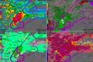
Here is a live running blog post of the latest reports on the confirmed tornado passing across northern Shelby County.
Read More

TORNADO EMERGENCY for Jefferson & Shelby Counties Until 2:00 pm

TORNADO EMERGENCY for Jefferson & Shelby Counties Until 2:00 pm

| March 25, 2021 @ 1:38 pm

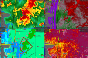
At 147 PM CDT, a confirmed large and destructive tornado was located over Mount Laurel, or near Chelsea, moving northeast at 45 mph.
Read More

CANCELED Tornado Warning for Pickens Co. Until 2:30 pm

CANCELED Tornado Warning for Pickens Co. Until 2:30 pm

| March 25, 2021 @ 1:31 pm

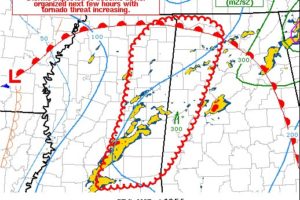
At 146 PM CDT, a severe thunderstorm capable of producing a tornado was located 7 miles southeast of Prairie Point, or 7 miles west of Aliceville, moving northeast at 40 mph.
Read More

Latest Mesoscale Discussion: Storms Expected to Intensify with the Potential of Strong Tornadoes

Latest Mesoscale Discussion: Storms Expected to Intensify with the Potential of Strong Tornadoes

| March 25, 2021 @ 1:27 pm

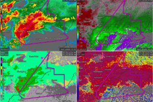
Storms are expected to intensify throughout the afternoon, with several tornadic supercells possible including the threat of strong tornadoes.
Read More

Confirmed Tornado Warning for Parts of Jefferson & Shelby Co. Until 2:00 pm

Confirmed Tornado Warning for Parts of Jefferson & Shelby Co. Until 2:00 pm

| March 25, 2021 @ 12:55 pm

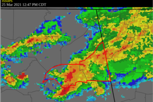
At 120 PM CDT, a confirmed tornado was located near Helena, moving northeast at 40 mph.
Read More

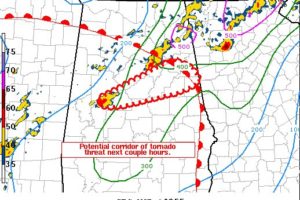
Flash Flood Warning for Parts of Cherokee & Etowah Co. Until 4:45 pm

Flash Flood Warning for Parts of Cherokee & Etowah Co. Until 4:45 pm

| March 25, 2021 @ 12:48 pm

At 1247 PM CDT, Doppler radar indicated thunderstorms producing heavy rain across the warned area. Between 1 and 3 inches of rain have fallen. Flash flooding is already occurring.
Read More

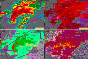
Localized Mesoscale Discussion Concerning Tuscaloosa Co. Tornado

Localized Mesoscale Discussion Concerning Tuscaloosa Co. Tornado

| March 25, 2021 @ 12:30 pm

A tornadic supercell over northern Hale County may persist with tornado threat expanding east/northeast for several hours.
Read More

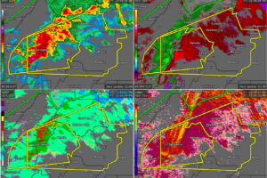
PDS Tornado Warning for Parts of Tuscaloosa & Bibb Co. Until 1:15 pm

PDS Tornado Warning for Parts of Tuscaloosa & Bibb Co. Until 1:15 pm

| March 25, 2021 @ 12:14 pm

At 1211 PM CDT, a severe thunderstorm capable of producing a tornado was located near Moundville, or 16 miles north of Greensboro, moving northeast at 40 mph.
Read More

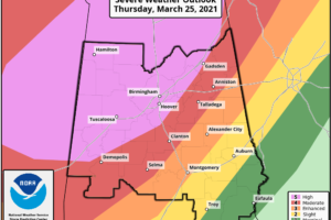
Severe Thunderstorm Warning for Parts of Blount, Calhoun, Etowah, Jefferson, St. Clair, Talladega Co. Until 1:15 pm

Severe Thunderstorm Warning for Parts of Blount, Calhoun, Etowah, Jefferson, St. Clair, Talladega Co. Until 1:15 pm

| March 25, 2021 @ 12:05 pm

At 1202 PM CDT, a severe thunderstorm was located near Center Point, or near Gardendale, moving east at 60 mph.
Read More

Midday Update: “High Risk” Expanded; Severe Weather Outbreak Imminent

Midday Update: “High Risk” Expanded; Severe Weather Outbreak Imminent

| March 25, 2021 @ 11:51 am

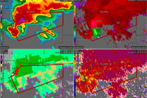
A very dangerous and life-threatening tornado outbreak of severe weather and tornadoes is about to occur across the Deep South including portions of Mississippi and Alabama.
Read More

Tornado Warning Continues for Parts of Hale Co. Until 12:30 pm

Tornado Warning Continues for Parts of Hale Co. Until 12:30 pm

| March 25, 2021 @ 11:38 am

At 1206 PM CDT, a severe thunderstorm capable of producing a tornado was located near Akron, or 13 miles northeast of Eutaw, moving northeast at 45 mph.
Read More

PDS Tornado Watch Issued for a Good Portion of North/Central Alabama Until 8:00 pm

PDS Tornado Watch Issued for a Good Portion of North/Central Alabama Until 8:00 pm

| March 25, 2021 @ 11:30 am

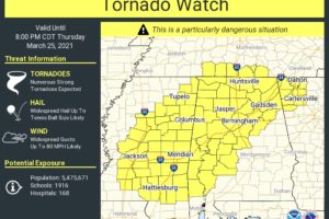
Counties included are Colbert, Cullman, DeKalb, Franklin, Jackson, Lauderdale, Lawrence, Limestone, Madison, Marshall, and Morgan in North Alabama, and Bibb, Blount, Calhoun, Cherokee, Chilton, Dallas, Etowah, Fayette, Greene, Hale, Jefferson, Lamar, Marengo, Marion, Perry, Pickens, Shelby, St. Clair, Sumter, Talladega, Tuscaloosa, Walker, and Winston in Central Alabama.

Read More