Archive for February 17th, 2022

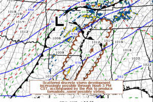
Mesoscale Discussion — Potential for A Few Supercells Capable of Producing Tornadoes in Watch Area

Mesoscale Discussion — Potential for A Few Supercells Capable of Producing Tornadoes in Watch Area

| February 17, 2022 @ 2:07 pm

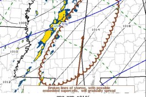
A broken band or bands of thunderstorms will continue to slowly shift eastward across Mississippi into Alabama late this afternoon, with the potential for a few supercells to continue to develop and pose a risk for producing tornadoes.

Read More

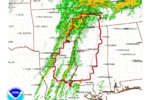
Tornado Watch Issued for the Western Portions of North/Central Alabama Until 8 pm

Tornado Watch Issued for the Western Portions of North/Central Alabama Until 8 pm

| February 17, 2022 @ 1:50 pm

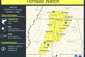
A TORNADO WATCH has been issued until 8 pm tonight for the following counties… in North Alabama: Colbert, Cullman, Franklin, Lauderdale, Lawrence, Limestone, Madison, and Morgan… in Central Alabama: Fayette, Greene, Hale, Lamar, Marion, Pickens, Sumter, Tuscaloosa, Walker, and Winston.

Read More

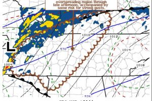
Mesoscale Discussion — Tornado Watch Possible for Portions of North Alabama

Mesoscale Discussion — Tornado Watch Possible for Portions of North Alabama

| February 17, 2022 @ 1:23 pm

A narrow evolving line of heavier showers and embedded thunderstorms may overspread the region through mid to late afternoon, with at least some potential for brief strong to locally damaging wind gusts.

Read More

Tornado Watch Issued to Our West Until 6 pm This Evening

Tornado Watch Issued to Our West Until 6 pm This Evening

| February 17, 2022 @ 10:57 am

Multiple linear bands with embedded supercells are expected to develop across the Lower Mississippi Valley and Mid-South regions. Greatest tornado threat should be centered on portions of northern to central Mississippi in the mid to late afternoon.

Read More

Late Morning Update on Today’s Severe Weather Threat

Late Morning Update on Today’s Severe Weather Threat

| February 17, 2022 @ 10:39 am

As of 10:15 am this morning, it now looks like all of the shower activity that was moving through the east and southeastern parts of the area has moved on over into Georgia, and all of Central Alabama is quiet at this juncture.

Read More

Midday Nowcast: Watching Developments to Our West

Midday Nowcast: Watching Developments to Our West

| February 17, 2022 @ 10:30 am

To our west, we are watching showers and storms develop ahead of the cold front, and these will be arriving in Alabama later this afternoon and evening. In fact, at the writing of this forecast, late this morning, a Tornado Watch will soon be issued across much of Mississippi.

Read More

Windy Day Ahead; Strong To Severe Storms Later Today/Tonight

Windy Day Ahead; Strong To Severe Storms Later Today/Tonight

| February 17, 2022 @ 5:53 am

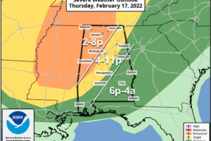
ACTIVE WEATHER DAY: We have a very active weather day ahead as a dynamic storm system approaches. Strong to severe thunderstorms are possible this afternoon and tonight… SPC maintains an “enhanced risk” (level 3/5) of severe thunderstorms for parts of North and West Alabama… west of a line from Hytop to Hueytown to Demopolis. A “slight risk” (level 2) extends as far east as Anniston, Prattville, and Grove Hill, and the rest of the state (East/South Alabama) is in a “marginal risk” (level 1/5).

Read More