Chilly Morning/Mostly Sunny Day
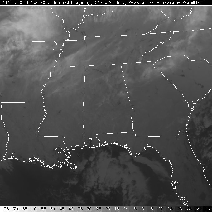
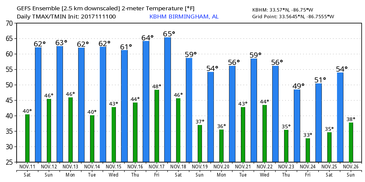
Alabamians are waking up to mostly sunshine streaked with some thin high cirrus clouds and temperatures on the cool side with readings mainly around the 40-degree mark. The surface weather pattern featured a large high pressure system centered over western New York which was helping to create a wedge pattern (cold air damming) around the southern end of the Appalachians. It does not appear likely that the wedge will do much other than keep temperatures across East Central Alabama a few degrees cooler with many places reaching the middle 60s.
Football Weather: Auburn hosts Georgia today at Jordan-Hare Stadium with a 2:30 pm CST kickoff. The sky will be sunny with a kickoff temperature near 62 degrees with temperatures falling into the 50s by the final whistle. Alabama travels to Starkville to take on Mississippi State at 6:00 pm CST. Mostly fair conditions will prevail with some cirrus clouds with temperatures falling from near 60 at kickoff into the 50s during the game. UAB is also on the road; they take on Texas-San Antonio (UTSA) this evening at 6:00 pm CST in San Antonio. The sky will be mostly cloudy with a few widely scattered showers; kickoff temperature will be near 68 falling into the middle 60s by the second half.
The upper air pattern is very close to zonal flow today, but the pattern will gradually morph into a trough over the East Coast by Monday. A disturbance moving briskly through the flow Sunday afternoon and evening will bring some cloudiness with it along with the potential for some isolated showers, but moisture levels are severely restricted, so I think most of us stay dry. Temperatures will drop just a bit with afternoon highs around 60.
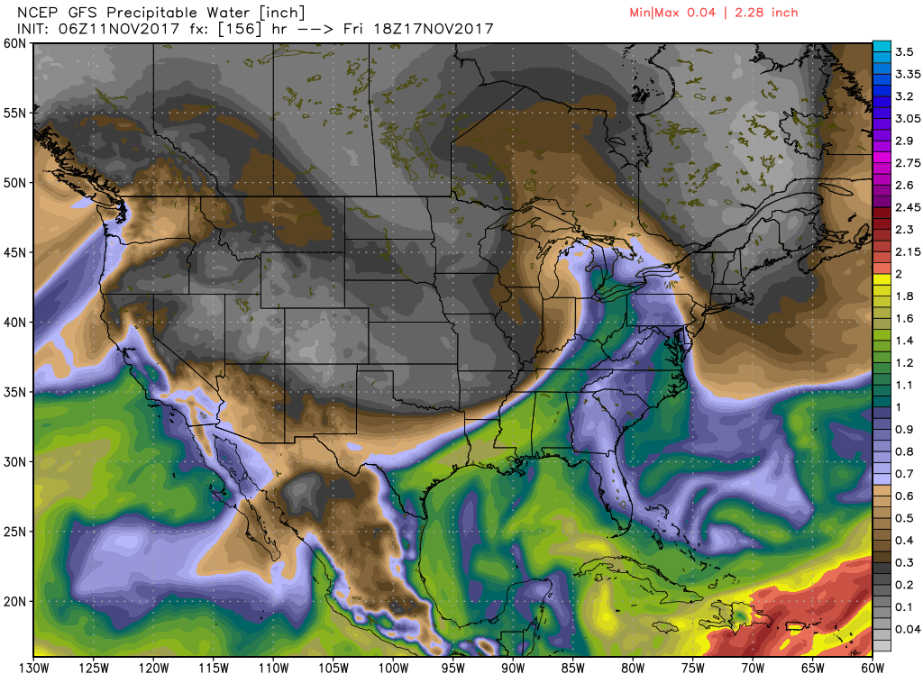
Weak ridging will be the prevalent upper pattern for the first half of the week extending into Thursday. This pattern should keep us dry and in the middle and upper 60s. By Thursday we could see our highs push the 70-degree mark. But the good weather comes to an end around Friday when a short wave digs into the southern Great Lakes region. This will develop a strong low pressure system in the Lee of the Central Rockies which will move into the Central Great Lakes Region by midday Friday. A cold front will trail southwest into the Mid-South by midday Friday. Moisture is still somewhat lacking with precipitable water values around 1.6 inches. With the good forcing presented by the cold front, there will be shower chances across Central and North Alabama Friday afternoon into Saturday morning, but I’d put chances around 40 percent. Fortunately without a good supply of moisture, the likelihood of severe weather seems very low. Certainly we’ll need to keep a watchful eye on this in future model runs. The deep trough moves off the East Coast Saturday dropping temperatures back considerably with lows next weekend in the 40s and highs near 60.
Looking into voodoo country, the GFS is pushing a secondary through into the eastern US on Sunday reinforcing the chilly air. The pattern goes into a moderate ridge around the 21st of November before a short wave moves into the picture around Thanksgiving. This would suggest clouds and the potential for some rain. But by Sunday, November 26th, the GFS is advertising a very strong ridge that should mean some very warm temperatures. But the pattern also features a very deep trough coming through the Four Corners area that could spell the potential for some severe weather in the eastern half of the US as we approach December. But this is voodoo country so we’ll watch and see how this evolves in future runs.
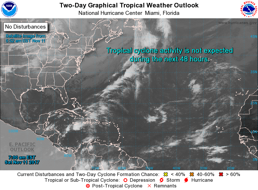
Tropical Atlantic: The Atlantic basin is very quiet as the 2017 hurricane heads toward the final wire in just three weeks.
Beach Forecast: Click here to see the AlabamaWx Beach Forecast Center page. The Beach Forecast is partially underwritten by the support of Brett/Robinson Vacation Rentals in Gulf Shores and Orange Beach. Click here to see Brett/Robinson’s Hot Deals now!
WEATHER BRAINS: Don’t forget you can listen to our weekly 90 minute netcast anytime on the web, or on iTunes. This is the show all about weather featuring many familiar voices, including our meteorologists here at ABC 33/40.
I expect to have the next Weather Xtreme Video posted here by 7 am or so on Sunday. Enjoy the gorgeous Fall day. Godspeed.
-Brian-
Category: Alabama's Weather, ALL POSTS, Weather Xtreme Videos
About the Author (Author Profile)
Brian Peters is one of the television meteorologists at ABC3340 in Birmingham and a retired NWS Warning Coordination Meteorologist. He handles the weekend Weather Xtreme Videos and forecast discussion and is the Webmaster for the popular WeatherBrains podcast.Subscribe
If you enjoyed this article, subscribe to receive more just like it.


