A Quick Update On Our Weather Situation At 2:20 PM
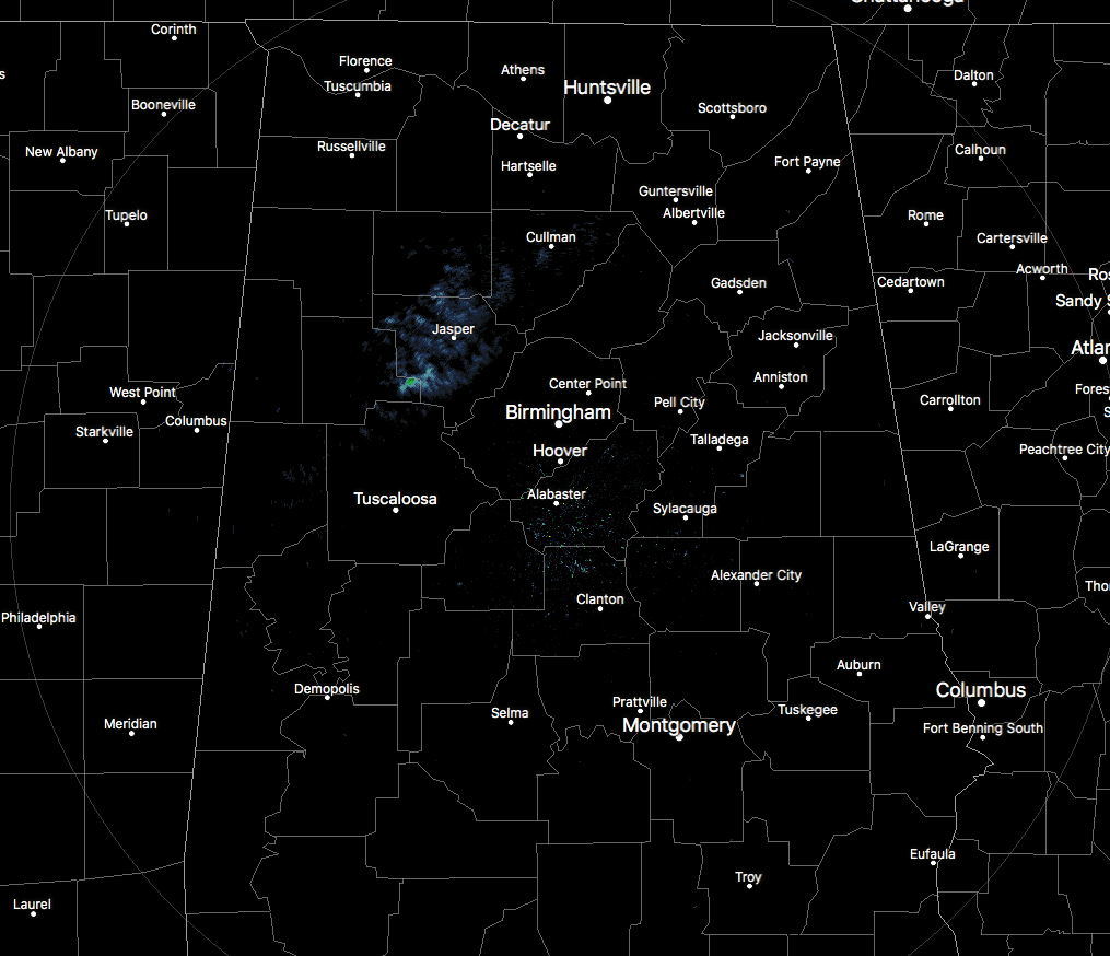
At this point across North/Central Alabama, there is not very much going on but a few sprinkles showing up on radar at the moment, but activity will be picking up later this afternoon as a strong cold front will be moving across the area throughout the later afternoon and evening. That cold front will have a fast moving band of showers and thunderstorms accompanying it, with the possibility of a few storms being strong to severe in intensity.
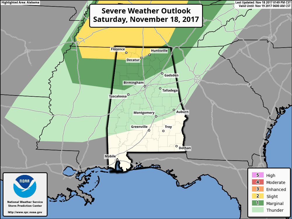
Damaging wind gusts up to 60 MPH will be the primary impact, but some hail up to 1-inch in diameter and a brief spin-up tornado or two embedded in the squall line cannot be ruled out, especially for the northwestern and north-central parts of the state.
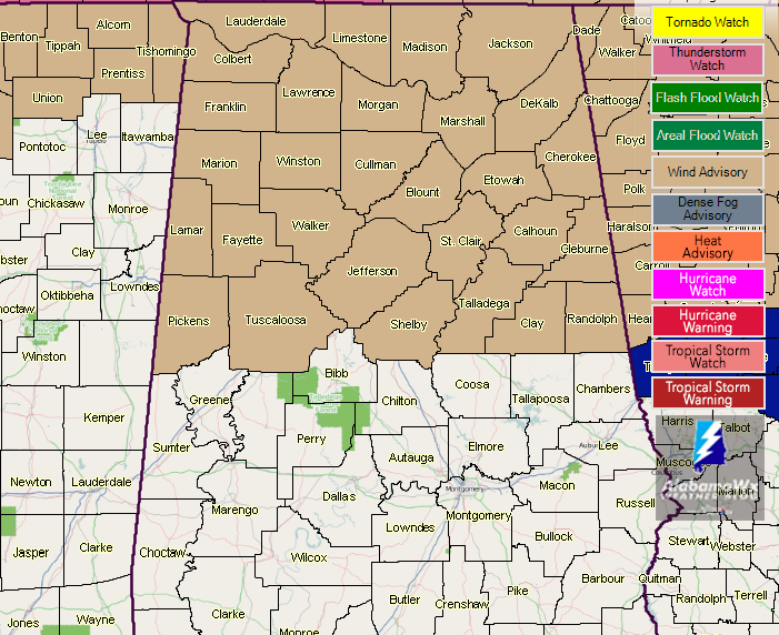
Wind advisories are in effect for all of North Alabama and the northern parts of Central Alabama throughout the evening hours tonight, with the Central Alabama counties into the pre-dawn hours on Sunday. Winds will continue to increase during the day as the pressure gradient increases as the front gets closer and moves into the area. Sustained winds could average up to 20-25 MPH, with wind gusts up to 35-40 MPH possible.
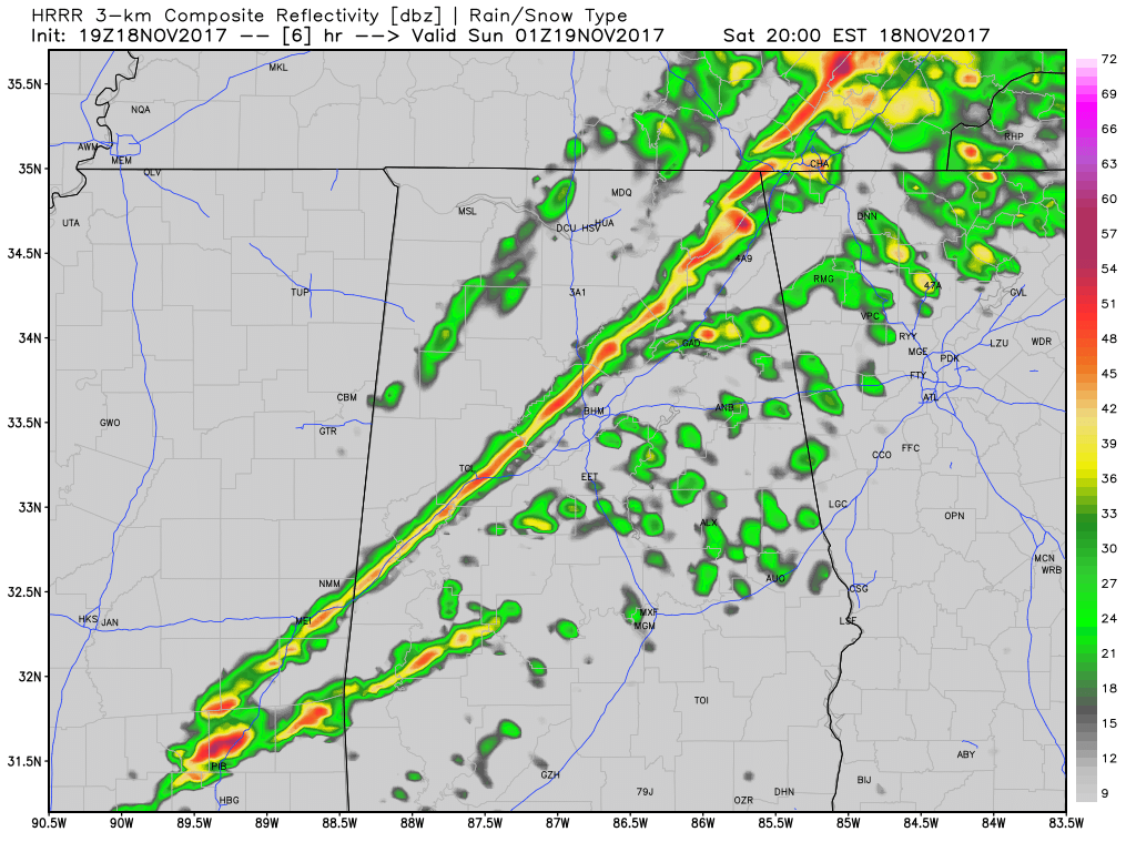
HRRR Simulated Radar valid at 7PM tonight.
The squall line of showers and thunderstorms associated with the cold front should be moving into the northwestern parts of the state by 4-5PM this afternoon, making it into the Birmingham Metropolitan Area by 7-8PM, and moving completely out of the area by 12-1AM. The intensity of the storms will slowly diminish throughout the late afternoon and evening hours, and the severe threat will be over as the showers pass the I-59 corridor. Rain amounts will be 1/4-inch or less for much of the area, with some locations in the southeastern parts of Central Alabama only receiving a tenth or less.
Be ready to bundle up for Sunday as conditions will be much different. Skies will be sunny, but temperatures will be much cooler, and the northwesterly winds will make those feel even cooler. Afternoon highs will be in the lower to mid-50s for much or North/Central Alabama, with upper 50s in the southern parts of Central Alabama.
Category: Alabama's Weather, ALL POSTS
About the Author (Author Profile)
Scott Martin is an operational meteorologist, professional graphic artist, musician, husband, and father. Not only is Scott a member of the National Weather Association, but he is also the Central Alabama Chapter of the NWA president. Scott is also the co-founder of Racecast Weather, which provides forecasts for many racing series across the USA. He also supplies forecasts for the BassMaster Elite Series events including the BassMaster Classic.Subscribe
If you enjoyed this article, subscribe to receive more just like it.


