Two Nice Days, Then an Extended Change to Colder
Fog was dense this morning, especially in the valleys across Central Alabama. It was generally gone by 10:30 a.m. At times this morning, the visibility at the Birmingham Airport was zero.
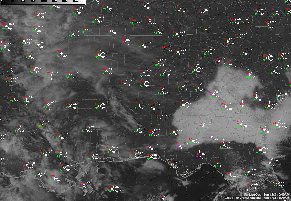
After the fog burned off, blue skies were revealed. Thin high clouds are streaming across the area from Mississippi ahead of an upper-level disturbance that is moving into western Texas.
Temperatures are climbing through the 60s now and will peak into the upper 60s to near 70F.
Clouds will thicken at times, but the sky will be partly sunny at worst.
We will be in the 40s overnight and tomorrow will be another nice day.
Things will change on Tuesday as a strong cold front brings showers and thunderstorms to the area. Severe weather should not be an issue. Rainfall amounts should range between one quarter and one-half inch.
Get used to 40s for highs because, over the next two weeks, there will be lots of them. There may even be a day with highs not getting out of the 30s. The cold may last until the middle of the month.
Category: Alabama's Weather, ALL POSTS
About the Author (Author Profile)
Bill Murray is the President of The Weather Factory. He is the site's official weather historian and a weekend forecaster. He also anchors the site's severe weather coverage. Bill Murray is the proud holder of National Weather Association Digital Seal #0001 @wxhistorianSubscribe
If you enjoyed this article, subscribe to receive more just like it.


