Rain At Times Through Tonight
WET WEATHER RETURNS: After a sparkling weekend, clouds returned to Alabama last night, and we will forecast some rain at times through tonight as a cold front approaches. SPC has a “marginal risk” of severe storms defined to the west, but no severe storms are expected in Alabama with little to no surface based instability. We rise into the low to mid 60s this afternoon, and sunshine will be almost impossible to find.
Rain amounts will be in the 1/2 to 1 inch range, and you might hear some thunder tonight as the front pushes into Alabama. The rain will end early tomorrow morning, and we have a good chance of seeing some sunshine tomorrow afternoon as dry air returns. Tomorrow’s high will be in the mid 60s.
FREEZING TEMPERATURES AHEAD: A strong north breeze will usher in cooler air Wednesday; the sky will be partly sunny with a high only in the low 50s, ten degrees below average for early March in Alabama. We are still projecting early morning lows in the 28-32 degree range for most of North/Central Alabama early Thursday and Friday morning… colder spots will see low to mid 20s. Frost should be fairly widespread early Friday when the wind will be near calm. Growers beware.
Thursday and Friday will be sunny; the daytime high Thursday will be in the low to mid 50s, followed by a high in the low 60s Friday afternoon.
THE ALABAMA WEEKEND: Clouds return to the state Friday night, and Saturday will be cloudy with occasional rain as moist air moves northward. A deep surface low is expected to pass just north of Alabama, and that could set the stage for strong thunderstorms by Saturday night or early Sunday. However, global models continue to show a big mass of storms in the northern Gulf of Mexico, which usually reduces any severe weather threat this far inland.
For now it looks like most of the rain will be over by midday Sunday. The high Saturday will be in the upper 60s, but a good chance we won’t get out of the 50s Sunday with a gusty north wind and lingering clouds.
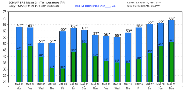
NEXT WEEK: Temperatures will be well below average for the first half of the week with highs in the 50s and lows in the 30s… we will have the threat of more freezing temperatures during the early morning hours. See the Weather Xtreme video for maps, graphics, and more details.
ON THIS DATE IN 1963: Voters trekked to the polls in great numbers to vote in the mayor’s race in Birmingham, despite a steady rain. The heated mayoral race pitted attorney Albert Boutwell, Tom King, J.T. Waggoner and Commissioner Bull Conner. Severe storms would develop that day; about 3:35 p.m., a tornado touched down near Bessemer. It moved northeast, remaining on the ground for fifteen miles, tearing through Homewood and into Mountain Brook. Bessemer was the hardest hit, with the worst damage along second and third avenues between 19th and 21st streets. Fortunately, the F3 tornado killed no one, but thirty five people were injured along its path.
BEACH FORECAST: Click here to see the AlabamaWx Beach Forecast Center page.
WEATHER BRAINS: Don’t forget you can listen to our weekly 90 minute netcast anytime on the web, or on iTunes. This is the show all about weather featuring many familiar voices, including our meteorologists here at ABC 33/40. We will produce this week’s show tonight at 8:30 CT… you can watch it live here.
CONNECT: You can find me on all of the major social networks…
Facebook
Twitter
Google Plus
Instagram
Pinterest
Snapchat: spannwx
I have a weather program this morning at Ashville Elementary School in St. Clair County… look for the next Weather Xtreme video here by 4:00 this afternoon. Enjoy the day!
Category: Alabama's Weather, ALL POSTS, Weather Xtreme Videos
About the Author (Author Profile)
James Spann is one of the most recognized and trusted television meteorologists in the industry. He holds the AMS CCM designation and television seals from the AMS and NWA. He is a past winner of the Broadcast Meteorologist of the Year from both professional organizations.Subscribe
If you enjoyed this article, subscribe to receive more just like it.


