

Much Nicer Weather Today, Showers Return Tomorrow
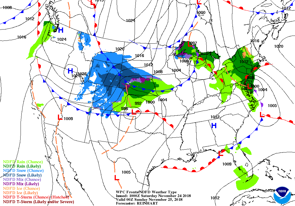
FOR TODAY: With all of the shower activity now out of the area, skies will begin to clear out during the morning and into this afternoon. We’ll have mostly clear skies by the middle of the afternoon and highs will have topped out in the lower to mid-60s across Central Alabama from north to south. We’ll continue to have mostly clear skies during the evening and into the overnight hours, but some clouds will start to move back in before sunrise. Overnight lows will dip down into the lower to the mid-40s.
IRON BOWL: The big rivalry game between Alabama and Auburn takes place at Bryant-Denny Stadium with the kickoff at 2:30 pm CST. Skies will be mainly clear with a few clouds during the game and it will be a nice afternoon. Temperatures at kickoff will be around 63 degrees and falling into the upper 50s by the 4th quarter.
UAB: The Blazers pay a visit to Murfreesboro to take on MTU with the kickoff scheduled at 2:00 pm CST. There will be plenty of sunshine with a few clouds with temperatures starting off in the upper 50s and eventually falling into the mid-50s by the end of the game.
SUNDAY: We’ll have a trough digging southward out to our west that will send a cold front in our direction for Sunday. Small shower chances creep into the area during the early afternoon hours and increase somewhat through the evening and overnight hours, otherwise, skies will be mostly cloudy. There may be just enough elevated instability that a few claps of thunder are possible over the southern half of the area. Afternoon highs will be in the mid-60s to the lower 70s across the area, with lows in the lower 30s to the upper 40s from northwest to southeast.
THE FIRST HALF OF NEXT WEEK: Once the shower chances end early on Monday morning, cold air will be advecting into Central Alabama and afternoon highs will be much cooler than what we will see this weekend. We’ll have plenty of sunshine on each day through Wednesday. Monday’s highs will only be in the mid-40s to the lower 50s, with Tuesday’s highs in the upper 40s to the mid-50s, and Wednesday’s highs in the upper 40s to the upper 50s. Lows will be in the mid-20s to the 30s.
THE END OF NEXT WEEK: At this point, it looks like we could have a few isolated to scattered showers to move into the area on late Thursday, with the better shower chances occurring during the late night through the pre-dawn hours on Friday. Those shower chances move out of the area around or just after noon on Friday and the rest of the day will be mostly clear. Thursday’s highs will be in the 50s and Friday’s highs in the mid-50s to the mid-60s.
LOOKING INTO VOODOO LAND: A strong low looks to be forming over the south-central plains states late in the week next week that would send a system towards the southeast that we may need to keep our eyes on. We are in the middle of our fall severe weather season and this system, at this point, looks to have some of the ingredients for possible strong to severe storms… possibly a low instability, high shear event. At this point, the window for storms across Central Alabama look to be from 12:00 pm Saturday through 12:00 pm Sunday. This is not an official forecast for next weekend as it is out in Voodoo Land and too early for specific details, but this is the time of the year that we need to stay on our toes.
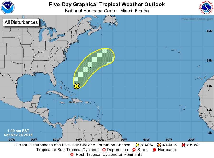
THE TROPICS: Well, with six days left to go in the Atlantic Hurricane Season for 2018, we will have a disturbance that has developed that is forecast to move north-northeastward, away from the US Mainland. It may gain subtropical characteristics over the next few days but is only given a 20% chance of developing into a subtropical cyclone. The rest of the tropics are quiet on our side of the globe.
BEACH FORECAST CENTER: Get the latest weather and rip current forecasts for the beaches from Fort Morgan to Panama City on our Beach Forecast Center page. There, you can select the forecast of the region that you are interested in.
WE’RE HAVING A RECORD-BREAKING YEAR… ADVERTISE WITH US TODAY!: Don’t miss out! We have enjoyed over 18.3 MILLION page views on AlabamaWx.com so far in 2018. We can customize a creative, flexible and affordable package that will suit your organization’s needs. Contact Bill Murray at (205) 687-0782.
E-FORECAST: Get the Alabama Wx Weather Blog’s Seven-Day Forecast delivered directly to your inbox by email twice daily. It is the most detailed weather forecast available in Central Alabama. Subscribe here… It’s free!
CONNECT ON SOCIAL MEDIA: You can find the AlabamaWx Weather Blog on the major social media networks:
Facebook
Twitter
WEATHERBRAINS: Don’t forget you can listen to our weekly 90 minute netcast anytime on the web at WeatherBrains.com or on iTunes, Stitcher, or Spotify. This is the show all about weather featuring many familiar voices, including the meteorologists at ABC 33/40.
ON THIS DAY IN WEATHER HISTORY: 1982 – Hurricane Iwa lashed the Hawaiian Islands of Niihau, Kauai, and Oahu with high winds and surf. Winds gusting to 120 mph caused extensive shoreline damage. Damage totaled 150 million dollars on Kauai and fifty million dollars on Oahu. The peak storm surge on the south shore was six to eight feet. It marked the first time in 25 years that Hawaii had been affected by a hurricane.
Category: Alabama's Weather, ALL POSTS, Weather Xtreme Videos
About the Author (Author Profile)
Scott Martin is an operational meteorologist, professional graphic artist, musician, husband, and father. Not only is Scott a member of the National Weather Association, but he is also the Central Alabama Chapter of the NWA president. Scott is also the co-founder of Racecast Weather, which provides forecasts for many racing series across the USA. He also supplies forecasts for the BassMaster Elite Series events including the BassMaster Classic.Subscribe
If you enjoyed this article, subscribe to receive more just like it.


