Weather Xtreme Video: Showers Ending Leading To A Nice Saturday, Excessive Rain Next Week
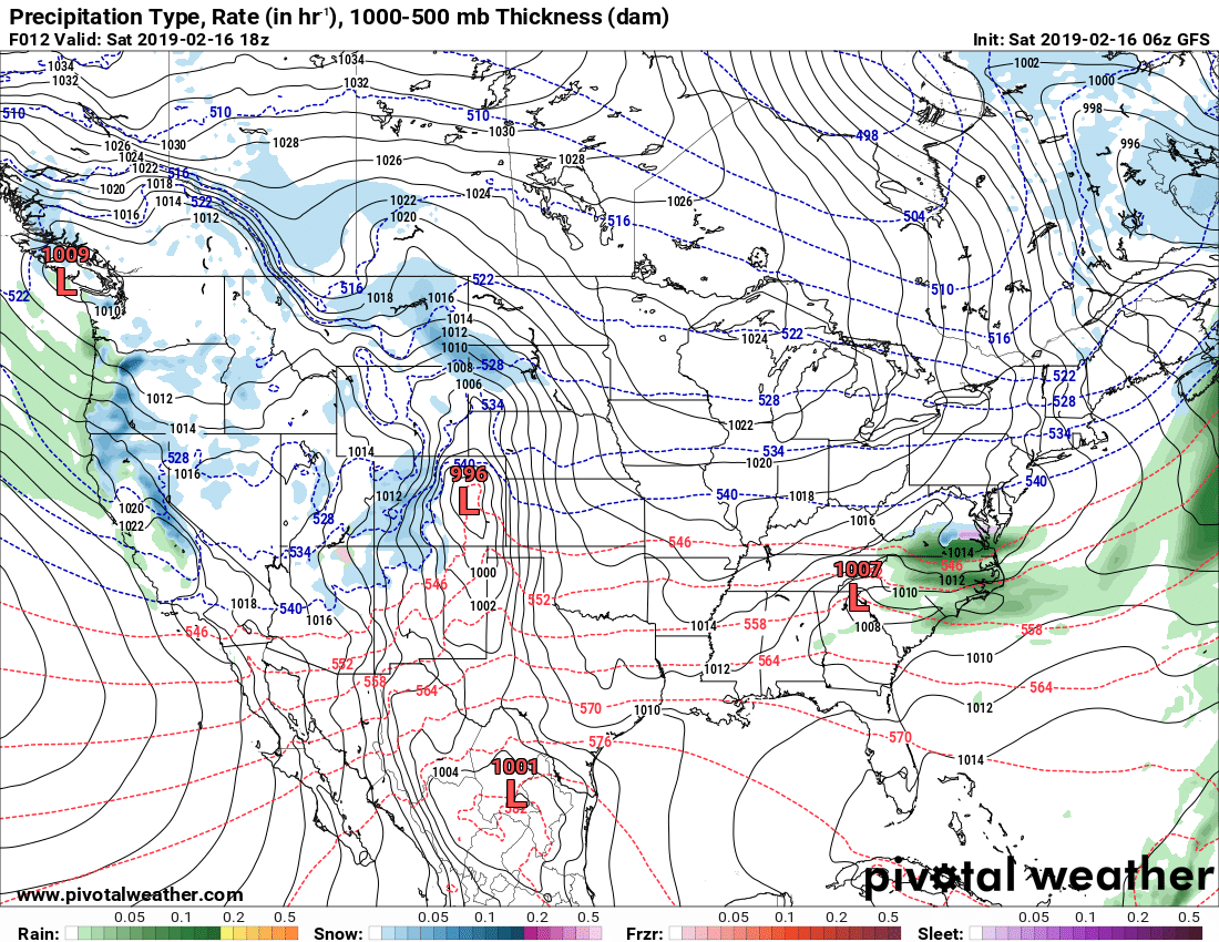
We’ll have a center of low pressure that will be over the northeastern corner of Georgia at midday, with showers diminishing over Central Alabama before the noon hour. Skies will actually clear somewhat and will become partly to mostly cloudy by the afternoon hours. Highs will top out in the lower 50s to the lower 70s across the area from northwest to southeast. We’ll stay dry through the evening and into the late night hours, but showers come back just after midnight over the northern half of the area. Lows will be in the mid-40s to the upper 50s from northwest to southeast.
We’ll have another impulse move through the area on Sunday as a low will be passing by to our north. Showers will be likely and maybe a few embedded thunderstorms are possible throughout the area, but no strong or severe storms are expected. Highs will be in the mid-60s to the upper 70s from north to south across the area.
Showers will move out of the area during the morning on Monday and we’ll get a small break from the rain until the evening and overnight hours. Showers will start developing out ahead of the next impulse bringing a good chance of rain to Central Alabama starting around midnight. Highs will be in the mid-50s to the mid-60s across the area from northwest to southeast.
The rain builds across the southeast as troughing to our west mixes with a stalled boundary that will actually start moving northward through the area. It will be a very wet day with rain likely throughout Central Alabama. Rainfall amounts look to be around 1/4 inch in the southeast corner of the area to as high as 2-1/2 inches in the northwestern parts. Highs will be in the lower 50s to the lower 60s.
Wednesday’s story is not much different… Rain continues throughout Central Alabama with some heavier rains falling over the north and northwestern parts of the state. Rainfall amounts for Wednesday are projected to range from 1/4 inch in the southeast to as high as 2-1/2 inches in the northern parts of Central Alabama. With the boundary now over the northern parts of the state, we could have some embedded thunder, but no severe weather expected at this time. Highs will be in the mid-60s to the mid-70s across the area from north to south.
Rain continues across the area on Thursday but the good news is that the latest run is showing a little less in coverage, with rain chances throughout the area only topping out in the 50-60% range. As for now, totals are projected to be less than 1 inch across Central Alabama, which is much better news than what I have been seeing over the past few days. Highs will be in the upper 50s to the lower 70s across the area from northwest to southeast.
We’ll continue to have a chance of rain across the area on Friday, but the coverage continues to lessen. Rain chances will only be around 40% across the area throughout the day and totals are projected to be at and under 1 inch. Highs will be in the lower 60s to the lower 70s.
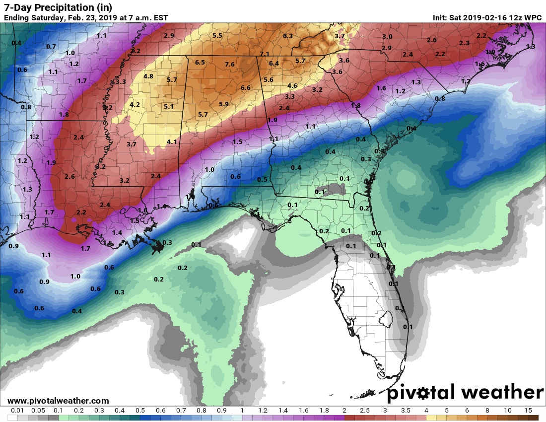
Even though the projected rainfall totals for the next seven days have come down some, we still have the risk of some flooding issues, especially in flood-prone areas. If you are located in or near one of those areas, go ahead and be prepared for the potential of flash flooding, as rainfall will not be leaving Central Alabama until the late afternoon hours on next Sunday.
Category: Alabama's Weather, ALL POSTS, Weather Xtreme Videos
About the Author (Author Profile)
Scott Martin is an operational meteorologist, professional graphic artist, musician, husband, and father. Not only is Scott a member of the National Weather Association, but he is also the Central Alabama Chapter of the NWA president. Scott is also the co-founder of Racecast Weather, which provides forecasts for many racing series across the USA. He also supplies forecasts for the BassMaster Elite Series events including the BassMaster Classic.Subscribe
If you enjoyed this article, subscribe to receive more just like it.


