Gorgeous St. Patrick’s Day in Progress Today Across Central Alabama
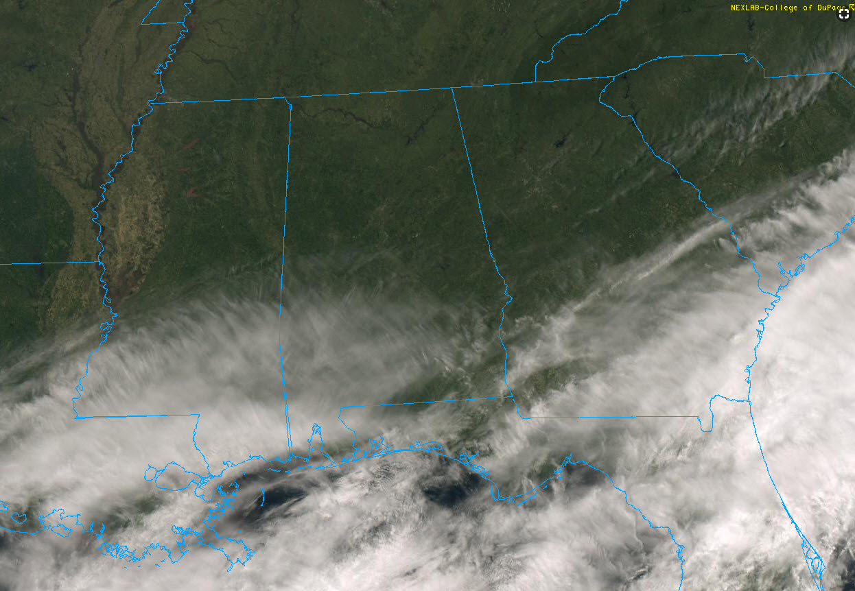
High clouds are moving across the southern half of Alabama this afternoon, but skies over the northern half are totally sunny.
Temperatures have responded nicely to the strengthening late winter sun, pushing the mercury into the middle and upper 60s.
The nearest rain is off the Texas/Louisiana Coast and off the coasts of the Carolina, Georgia and northern Florida. That rain is no threat to our state.
In fact, the next chance of significant rain won’t come until late next weekend, giving Alabama a chance to dry out a bit.
A reinforcing shot of cooler air will arrive tomorrow, pushing readings back to near 60F with a gusty northwest wind at times.
Morning lows will be cool, in the 30s through midweek. Tues will be the coldest morning, with a few readings below freezing, but most spots in the middle 30a.
Highs will warm back toward 70F by Friday and Saturday.
Rain returns by late Sunday. Severe weather looks possible on Tuesday the 26th.
Category: Alabama's Weather, ALL POSTS
About the Author (Author Profile)
Bill Murray is the President of The Weather Factory. He is the site's official weather historian and a weekend forecaster. He also anchors the site's severe weather coverage. Bill Murray is the proud holder of National Weather Association Digital Seal #0001 @wxhistorianSubscribe
If you enjoyed this article, subscribe to receive more just like it.


