

Focusing on Our Severe Weather Threat for Today, Tonight, Sunday Night and Monday
Areas north of I-59 are experiencing sunshine this early April Saturday, with clouds thick to the south near a northward moving warm front.
Showers and storms are increasing to the south of the warm front with lies generally along US-80 from Demopolis to Montgomery to Auburn. This front and the storms will continue to push northward through the state into the afternoon.
With temperatures warming into the upper 70s to near 80F and dew points climbing into the upper 60s, instability values will be sufficient to produce some strong storms this afternoon, mainly south of I-20. Hail will be a threat, and damaging winds as well, with a large amount of dry air aloft.
Winds between the surface and 18,000 feet are relatively light, so the storms will be pulse in nature, more like summer storms, but with some hail. Tornadoes are not really a threat.
A few isolated storms could form north of I-20 this afternoon, but the main action north of I-20 will come tonight. Storms are firing late this morning over Texas and Louisiana ahead of a strong upper-level trough. A tornado watch is being issued right now for parts of Central Texas.
This trough will swing northeastward over the next 24 hours. triggering a complex of storms that will move into Mississippi after 6 p.m. tonight. There could be a couple of tornadoes across northern Louisiana into the Mississippi Delta Region late this afternoon and this evening. That threat will diminish after 9 p.m. but the threat of damaging winds and large hail will remain into the late evening and overnight.
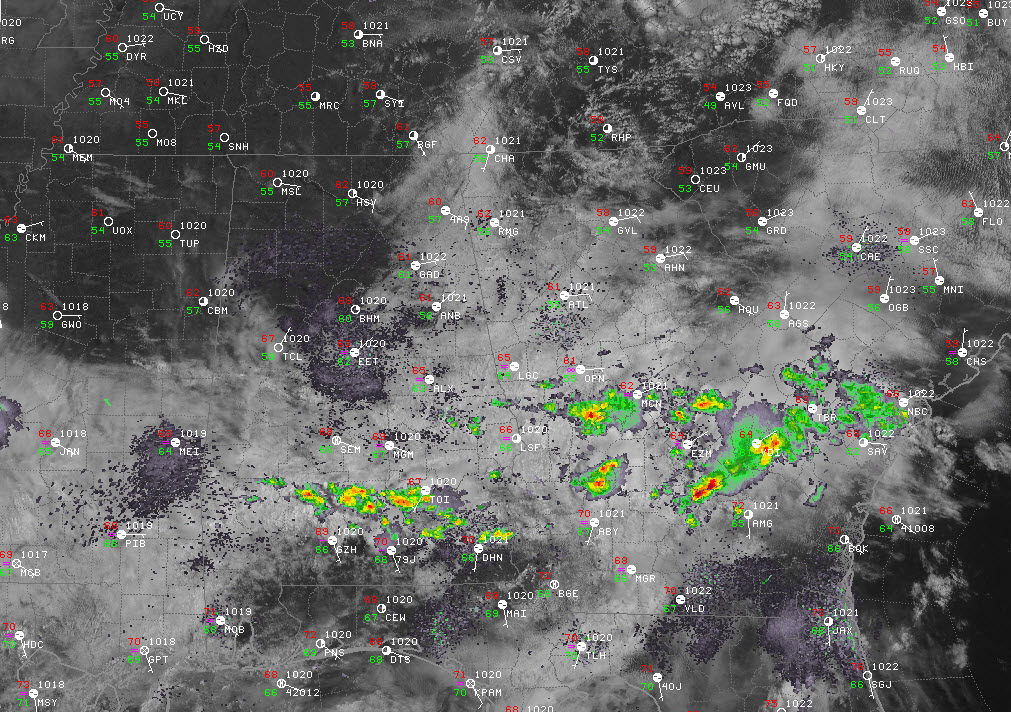
This complex will reach West Alabama after 10 p.m. Here is the HRRR simulated radar depiction of the storms at 11 p.m.:

The faster motion of the complex means it may be stronger when it reaches places like Pickens, Lamar, Fayette, Marion, Franklin, Colbert and Lauderdale Counties. Damaging winds and hail will be the main threat. It will track more eastward affecting all of North and North Central Alabama including areas north of a line from Eutaw to Clanton to Alex City.
The storms would impact Tuscaloosa somewhere between 11 p.m. and 1 a.m., the Birmingham area between midnight-2 a.m. and Anniston and Gadsden between 1 – 3 a.m.
Sunday should be warm and dry, with highs in the lower 80s. Storms will move into Alabama again late tomorrow night, with a diminishing severe weather threat. We will be watching out for another round of damaging winds before they weaken heading into Monday morning. They could actually help keep us from a more significant severe threat on Monday as the rain and clouds Monday morning prevents instability levels from getting very high ahead of a surface low and attendant cold front that will move across the area during the day. That will be a situation to watch. If instability levels can recover, the presence of the surface low could lead to a tornado threat. There is no good consistency in model output right now as to how strong that low will be. We will just have to stay tuned.
As you’re heading out and about today to great events like the Honda Indy Grand Prix of Alabama, dress to stay cool in the warm temperatures and increasing humidity. The day should be perfect out at Barber, although Brian Peters and Scott Martin will be watching just in case any rogue storms develop.
Keep your weather information sources handy, and keep an eye to the sky looking for any storms that manage to get going in your neck of the woods. Check the latest tonight before going to bed and have your warning sources on tonight as you retire.
Category: Alabama's Weather, ALL POSTS
About the Author (Author Profile)
Bill Murray is the President of The Weather Factory. He is the site's official weather historian and a weekend forecaster. He also anchors the site's severe weather coverage. Bill Murray is the proud holder of National Weather Association Digital Seal #0001 @wxhistorianSubscribe
If you enjoyed this article, subscribe to receive more just like it.


