Getting Hot Today, Next Week Will Be Wet At Times
TODAY
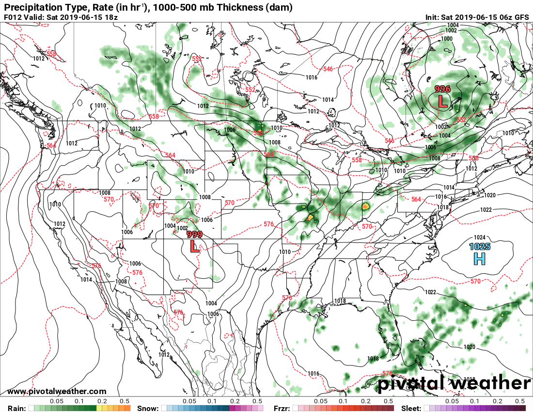
With a low out to the west and a high just off the coast of North Carolina, we’ll have a southerly flow across Central Alabama through the day today. That will pull in more gulf moisture and warmer air across the area. Skies will be mostly clear to partly cloudy and highs reaching the upper 80s to the lower 90s across the area. Tonight’s lows will be in the upper 60s to the lower 70s.
SUNDAY
On Sunday, we start to move into a classic summertime weather pattern across Central Alabama. We’ll have partly to mostly cloudy skies with a small chance of isolated to scattered showers across the area mainly during the afternoon and early evening hours. Highs will be in the upper 80s to the lower 90s across the area.
MONDAY
Much of the same story on Monday… partly to mostly cloudy skies throughout the area with a small chance of scattered afternoon to early evening showers and thunderstorms. Highs will be in the upper 80s to the lower 90s across the area.
TUESDAY
Rain chances will increase on Tuesday as we’ll have a disturbance that will be slowly passing to our north. Skies will be partly to mostly cloudy once again with showers and thunderstorms likely at any point throughout the day. Highs will be in the lower 80s to the lower 90s.
WEDNESDAY
Showers and thunderstorms will continue to be likely through much of the day on Wednesday as the disturbance moves farther away to our northeast, but we could see a decrease in rain chances by late afternoon. Afternoon highs will be in the mid to upper 80s across the area.
THURSDAY
Another disturbance will be moving through the southeast on Thursday that will bring more showers and thunderstorms to Central Alabama. It’s too early to be sure at this point, but we could see an increase in shear levels with this system. Combine that with already higher instability levels that we have during the summer months and we could have some stronger storms develop throughout the day. We’ll keep an eye on this throughout the weekend. Highs will be in the mid to upper 80s.
FRIDAY
The disturbance is out of here by Friday and we return to a more typical summertime pattern for Central Alabama. We’ll have more clouds than sun with a chance of a few scattered afternoon showers and thunderstorms. Highs will be in the mid-80s to the lower 90s.
A QUICK LOOK AT THE TROPICS
The Atlantic Basin remains quiet today and no new tropical cyclones are expected to develop during the next five days.
ON THIS DAY IN WEATHER HISTORY
1953 – Dust devils are usually rather benign weather phenomena, however, two boys were injured by one near Prescott AZ. One of the boys suffered a black eye, and the other boy had two vertebrae fractured by wind-blown debris.
BEACH FORECAST CENTER
Get the latest weather and rip current forecasts for the beaches from Fort Morgan to Panama City on our Beach Forecast Center page. There, you can select the forecast of the region that you are interested in.
ALREADY OFF TO A HOT START IN 2019! ADVERTISE WITH THE BLOG!
We have enjoyed over 10 MILLION page views on AlabamaWx.com so far in 2019! Don’t miss out! We can customize a creative, flexible and affordable package that will suit your organization’s needs. Contact Bill Murray at (205) 687-0782.
E-FORECAST
Get the Alabama Wx Weather Blog’s Seven-Day Forecast delivered directly to your inbox by email twice daily. It is the most detailed weather forecast available in Central Alabama. Subscribe here… It’s free!
CONNECT WITH THE BLOG ON SOCIAL MEDIA
You can find the AlabamaWx Weather Blog on the major social media networks:
Facebook
Twitter
Instagram
WEATHERBRAINS
Don’t forget you can listen to our weekly 90 minute netcast anytime on the web at WeatherBrains.com or on iTunes, Stitcher, or Spotify. This is the show all about weather featuring many familiar voices, including the meteorologists at ABC 33/40.
Category: Alabama's Weather, ALL POSTS, Weather Xtreme Videos
About the Author (Author Profile)
Scott Martin is an operational meteorologist, professional graphic artist, musician, husband, and father. Not only is Scott a member of the National Weather Association, but he is also the Central Alabama Chapter of the NWA president. Scott is also the co-founder of Racecast Weather, which provides forecasts for many racing series across the USA. He also supplies forecasts for the BassMaster Elite Series events including the BassMaster Classic.Subscribe
If you enjoyed this article, subscribe to receive more just like it.


